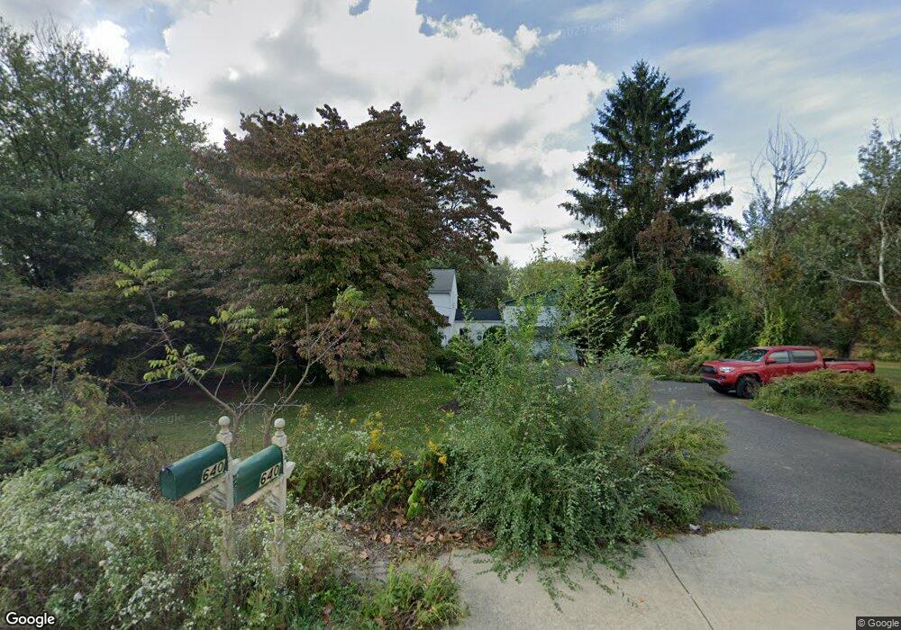
640 Upper State Rd Chalfont, PA 18914
Estimated Value: $637,000 - $765,000
3
Beds
3
Baths
2,613
Sq Ft
$265/Sq Ft
Est. Value
About This Home
This home is located at 640 Upper State Rd, Chalfont, PA 18914 and is currently estimated at $691,948, approximately $264 per square foot. 640 Upper State Rd is a home located in Bucks County with nearby schools including Simon Butler Elementary, Unami Middle School, and Central Bucks High School - South.
Ownership History
Date
Name
Owned For
Owner Type
Purchase Details
Closed on
Sep 30, 1998
Sold by
Parkes Donald T and Lamelza Joanne E
Bought by
Schmidt Robert C and Schmidt Denise
Current Estimated Value
Home Financials for this Owner
Home Financials are based on the most recent Mortgage that was taken out on this home.
Original Mortgage
$170,050
Interest Rate
6.92%
Create a Home Valuation Report for This Property
The Home Valuation Report is an in-depth analysis detailing your home's value as well as a comparison with similar homes in the area
Home Values in the Area
Average Home Value in this Area
Purchase History
| Date | Buyer | Sale Price | Title Company |
|---|---|---|---|
| Schmidt Robert C | $179,000 | -- |
Source: Public Records
Mortgage History
| Date | Status | Borrower | Loan Amount |
|---|---|---|---|
| Previous Owner | Schmidt Robert C | $170,050 |
Source: Public Records
Tax History Compared to Growth
Tax History
| Year | Tax Paid | Tax Assessment Tax Assessment Total Assessment is a certain percentage of the fair market value that is determined by local assessors to be the total taxable value of land and additions on the property. | Land | Improvement |
|---|---|---|---|---|
| 2025 | $5,846 | $33,730 | $8,100 | $25,630 |
| 2024 | $5,846 | $33,730 | $8,100 | $25,630 |
| 2023 | $5,660 | $33,730 | $8,100 | $25,630 |
| 2022 | $5,548 | $33,730 | $8,100 | $25,630 |
| 2021 | $5,485 | $33,730 | $8,100 | $25,630 |
| 2020 | $5,485 | $33,730 | $8,100 | $25,630 |
| 2019 | $668 | $33,730 | $8,100 | $25,630 |
| 2018 | $5,417 | $33,730 | $8,100 | $25,630 |
| 2017 | $5,375 | $33,730 | $8,100 | $25,630 |
| 2016 | $5,375 | $33,730 | $8,100 | $25,630 |
| 2015 | -- | $33,730 | $8,100 | $25,630 |
| 2014 | -- | $33,730 | $8,100 | $25,630 |
Source: Public Records
Map
Nearby Homes
- 117 S Limekiln Pike
- 109 Suffield Ct
- 202 Cornwall Dr
- 245 Prince William Way
- 108 Devon Rd
- 103 Bonnie Lark Ct
- 977 Hickory Ridge Dr
- 154 Galway Cir
- 110 Palace Ct
- Lots 123 Pickertown Rd
- 113 Krista Ct
- 434 Reagans Ln
- 401 Reagans Ln
- 428 Reagans Ln
- 427 Reagans Ln
- 405 Reagans Ln
- 431 Reagans Ln
- 435 Reagans Ln
- 458 Reagans Ln
- 437 Reagans Ln
- 161 S Limekiln Pike
- 639 Upper State Rd
- 627 Upper State Rd
- 653 Upper State Rd
- 157 S Limekiln Pike
- 665 Upper State Rd
- 722 Upper State Rd
- 685 Upper State Rd
- 3789 Limekiln Pike
- 109 Nightingale Cir
- 108 Nightingale Cir
- 693 Upper State Rd
- 107 Nightingale Cir
- 403 Bennett Cir
- 407 Bennett Cir
- 105 Morningside Cir
- 106 Nightingale Cir
- 5 Naomi Ln
- 409 Bennett Cir
- 3783 Limekiln Pike