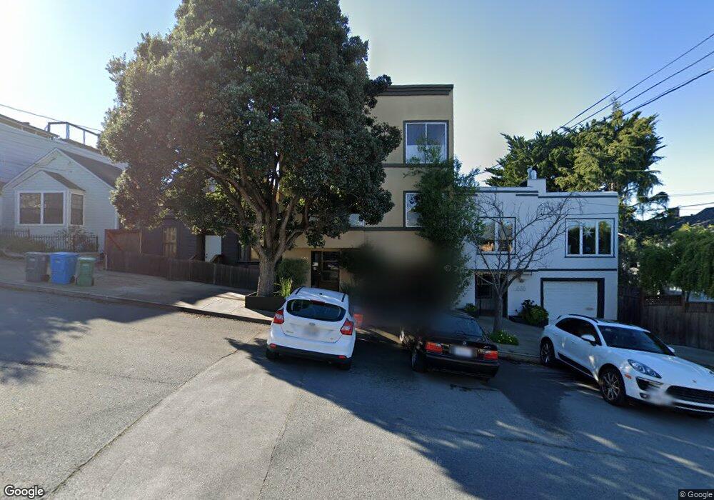
640 Wisconsin St San Francisco, CA 94107
Potrero NeighborhoodEstimated Value: $1,167,039 - $1,782,000
2
Beds
1
Bath
1,011
Sq Ft
$1,398/Sq Ft
Est. Value
About This Home
This home is located at 640 Wisconsin St, San Francisco, CA 94107 and is currently estimated at $1,413,010, approximately $1,397 per square foot. 640 Wisconsin St is a home located in San Francisco County with nearby schools including Thomas Starr King Elementary School, Aptos Middle School, and The New School of San Francisco.
Ownership History
Date
Name
Owned For
Owner Type
Purchase Details
Closed on
Sep 26, 1994
Sold by
Sordelli Michael R and Coste Carol A
Bought by
Brady Mark
Current Estimated Value
Home Financials for this Owner
Home Financials are based on the most recent Mortgage that was taken out on this home.
Original Mortgage
$321,600
Interest Rate
5.87%
Create a Home Valuation Report for This Property
The Home Valuation Report is an in-depth analysis detailing your home's value as well as a comparison with similar homes in the area
Home Values in the Area
Average Home Value in this Area
Purchase History
| Date | Buyer | Sale Price | Title Company |
|---|---|---|---|
| Brady Mark | $402,000 | Old Republic Title Company |
Source: Public Records
Mortgage History
| Date | Status | Borrower | Loan Amount |
|---|---|---|---|
| Closed | Brady Mark | $321,600 |
Source: Public Records
Tax History Compared to Growth
Tax History
| Year | Tax Paid | Tax Assessment Tax Assessment Total Assessment is a certain percentage of the fair market value that is determined by local assessors to be the total taxable value of land and additions on the property. | Land | Improvement |
|---|---|---|---|---|
| 2025 | $8,959 | $777,574 | $293,934 | $483,640 |
| 2024 | $8,959 | $762,328 | $288,171 | $474,157 |
| 2023 | $8,830 | $747,382 | $282,521 | $464,861 |
| 2022 | $8,673 | $732,729 | $276,982 | $455,747 |
| 2021 | $8,523 | $718,363 | $271,551 | $446,812 |
| 2020 | $8,548 | $710,999 | $268,767 | $442,232 |
| 2019 | $8,864 | $697,059 | $263,498 | $433,561 |
| 2018 | $8,565 | $683,393 | $258,332 | $425,061 |
| 2017 | $8,164 | $669,995 | $253,267 | $416,728 |
| 2016 | $8,015 | $656,859 | $248,301 | $408,558 |
| 2015 | $7,914 | $646,994 | $244,572 | $402,422 |
| 2014 | $7,705 | $634,322 | $239,782 | $394,540 |
Source: Public Records
Map
Nearby Homes
- 1812 20th St
- 561 Connecticut St
- 573 Connecticut St
- 666 Carolina St Unit 666
- 631 Carolina St
- 700 De Haro St
- 352 Arkansas St
- 2023 22nd St
- 1002 Rhode Island St Unit 1
- 2119 22nd St
- 264 Missouri St
- 448 Pennsylvania Ave
- 601 Pennsylvania Ave
- 699 Pennsylvania Ave Unit 2
- 1040 Wisconsin St
- 701 Pennsylvania Ave Unit 109
- 701 Pennsylvania Ave Unit 107
- 1225 Rhode Island St
- 2225 23rd St Unit 214
- 1218 Rhode Island St Unit 5
- 636 Wisconsin St
- 642 Wisconsin St
- 644 Wisconsin St
- 658 Wisconsin St
- 743 Carolina St
- 749 Carolina St
- 737 Carolina St
- 660 Wisconsin St
- 755 Carolina St
- 731 Carolina St
- 725 Carolina St
- 727 Carolina St
- 610 Wisconsin St
- 761 Carolina St
- 664 Wisconsin St
- 767 Carolina St Unit 767A
- 719 Carolina St
- 672 Wisconsin St Unit 674
- 606 Wisconsin St
- 604 Wisconsin St Unit A