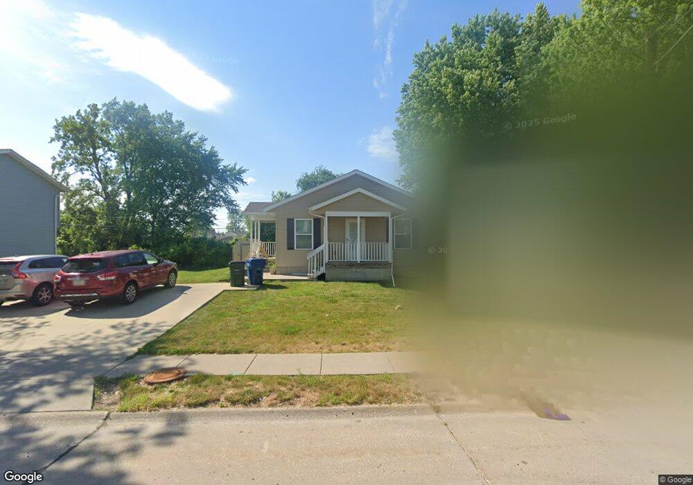
6400 Appomattox Rd Davenport, IA 52806
North Side NeighborhoodEstimated Value: $137,000 - $176,383
3
Beds
1
Bath
1,092
Sq Ft
$144/Sq Ft
Est. Value
About This Home
This home is located at 6400 Appomattox Rd, Davenport, IA 52806 and is currently estimated at $156,846, approximately $143 per square foot. 6400 Appomattox Rd is a home with nearby schools including Fillmore Elementary School, Wood Intermediate School, and North High School.
Ownership History
Date
Name
Owned For
Owner Type
Purchase Details
Closed on
Feb 11, 2015
Sold by
Habitat For Humanity Quad Cities
Bought by
Amedanu Afi
Current Estimated Value
Home Financials for this Owner
Home Financials are based on the most recent Mortgage that was taken out on this home.
Original Mortgage
$79,113
Outstanding Balance
$55,443
Interest Rate
3.66%
Mortgage Type
New Conventional
Estimated Equity
$101,403
Purchase Details
Closed on
Aug 20, 2013
Sold by
Scott County Housing Council
Bought by
Habitat For Humanity Quad Cities
Purchase Details
Closed on
Jul 15, 2013
Sold by
Habitat For Humanity Quad Cities
Bought by
Scott County Housing Council
Purchase Details
Closed on
Apr 7, 2010
Sold by
St Ambrose University
Bought by
Habitat For Humanity Quad Cities
Create a Home Valuation Report for This Property
The Home Valuation Report is an in-depth analysis detailing your home's value as well as a comparison with similar homes in the area
Home Values in the Area
Average Home Value in this Area
Purchase History
| Date | Buyer | Sale Price | Title Company |
|---|---|---|---|
| Amedanu Afi | $80,000 | None Available | |
| Habitat For Humanity Quad Cities | -- | None Available | |
| Scott County Housing Council | -- | None Available | |
| Habitat For Humanity Quad Cities | -- | None Available |
Source: Public Records
Mortgage History
| Date | Status | Borrower | Loan Amount |
|---|---|---|---|
| Open | Amedanu Afi | $79,113 |
Source: Public Records
Tax History Compared to Growth
Tax History
| Year | Tax Paid | Tax Assessment Tax Assessment Total Assessment is a certain percentage of the fair market value that is determined by local assessors to be the total taxable value of land and additions on the property. | Land | Improvement |
|---|---|---|---|---|
| 2024 | $2,288 | $141,710 | $25,760 | $115,950 |
| 2023 | $2,572 | $141,710 | $25,760 | $115,950 |
| 2022 | $2,462 | $129,250 | $16,100 | $113,150 |
| 2021 | $2,462 | $123,700 | $16,100 | $107,600 |
| 2020 | $2,280 | $113,720 | $16,100 | $97,620 |
| 2019 | $2,286 | $110,390 | $16,100 | $94,290 |
| 2018 | $2,110 | $110,390 | $16,100 | $94,290 |
| 2017 | $2,190 | $104,840 | $16,100 | $88,740 |
| 2016 | $2,106 | $104,840 | $0 | $0 |
| 2015 | $2,106 | $4,030 | $0 | $0 |
| 2014 | $90 | $4,030 | $0 | $0 |
| 2013 | $88 | $0 | $0 | $0 |
| 2012 | -- | $4,070 | $4,070 | $0 |
Source: Public Records
Map
Nearby Homes
- 6317 Appomattox Rd
- 665 W 64th St
- Lot 56 Franklin Ave
- LOT 54 Franklin Ave
- Lot 26 Benjamin Ct
- 6112 Western Ave
- 6205 N Ripley St
- 1265 W 63rd St
- 6524 Lillie Ave
- 1301 W 62nd Ct
- 803 W 57th St
- 6127 Fair Ave
- 1415 W 59th St
- SEQ - Division W 76th St
- 825 Northbrook Dr
- 6922 Madison St
- SWQ - Division W 76th St
- 1315 W 52nd Street Ct
- Lot 65 W 66th St
- Division St N & W 76th St
- 6404 Appomattox Rd
- 6406 Appomattox Rd
- 6324 Appomattox Rd
- 6322 & 6324 Appomattox Rd
- 6322 Appomattox Rd Unit 2, 24
- 6316 Appomattox Rd
- 6314 Appomattox Rd
- 6405 Appomattox Rd
- 6410 Appomattox Rd
- 6405 Appomattox Rd
- 6308 Appomattox Rd
- 679 W 64th St
- 674 W 64th St
- 6413 Appomattox Rd
- 738 W 63rd St
- Lot 67 Hoover Rd
- Lot 1 Hoover Rd
- 6302 Appomattox Rd
- 6530 Hoover Rd
- 668 W 64th St