6400 Thorton Ave Bakersfield, CA 93313
Panama NeighborhoodEstimated Value: $442,778 - $477,000
4
Beds
2
Baths
1,887
Sq Ft
$245/Sq Ft
Est. Value
About This Home
This home is located at 6400 Thorton Ave, Bakersfield, CA 93313 and is currently estimated at $462,195, approximately $244 per square foot. 6400 Thorton Ave is a home with nearby schools including Bill L. Williams Elementary School, Stonecreek Junior High School, and Ridgeview High School.
Ownership History
Date
Name
Owned For
Owner Type
Purchase Details
Closed on
Aug 30, 2025
Sold by
Jones Derrick Devon and Jones Lacresha
Bought by
Jones Legacy Trust and Jones
Current Estimated Value
Purchase Details
Closed on
May 17, 2023
Sold by
Jones Derrick Devon
Bought by
Jones Derrick Devon and Jones Lacresha
Purchase Details
Closed on
Jun 22, 2016
Sold by
Lennar Fresno Inc
Bought by
Jones Derrick Devon
Home Financials for this Owner
Home Financials are based on the most recent Mortgage that was taken out on this home.
Original Mortgage
$263,334
Interest Rate
4.25%
Mortgage Type
FHA
Create a Home Valuation Report for This Property
The Home Valuation Report is an in-depth analysis detailing your home's value as well as a comparison with similar homes in the area
Home Values in the Area
Average Home Value in this Area
Purchase History
| Date | Buyer | Sale Price | Title Company |
|---|---|---|---|
| Jones Legacy Trust | -- | None Listed On Document | |
| Jones Derrick Devon | -- | None Listed On Document | |
| Jones Derrick Devon | $271,000 | North American Title Company |
Source: Public Records
Mortgage History
| Date | Status | Borrower | Loan Amount |
|---|---|---|---|
| Previous Owner | Jones Derrick Devon | $263,334 |
Source: Public Records
Tax History
| Year | Tax Paid | Tax Assessment Tax Assessment Total Assessment is a certain percentage of the fair market value that is determined by local assessors to be the total taxable value of land and additions on the property. | Land | Improvement |
|---|---|---|---|---|
| 2025 | $8,205 | $308,346 | $56,889 | $251,457 |
| 2024 | $8,205 | $302,301 | $55,774 | $246,527 |
| 2023 | $8,198 | $302,301 | $55,774 | $246,527 |
| 2022 | $8,002 | $296,375 | $54,681 | $241,694 |
| 2021 | $7,871 | $290,564 | $53,609 | $236,955 |
| 2020 | $7,814 | $287,586 | $53,060 | $234,526 |
| 2019 | $7,761 | $287,586 | $53,060 | $234,526 |
| 2018 | $7,508 | $276,420 | $51,000 | $225,420 |
| 2017 | $7,461 | $271,000 | $50,000 | $221,000 |
| 2016 | $739 | $55,006 | $55,006 | $0 |
Source: Public Records
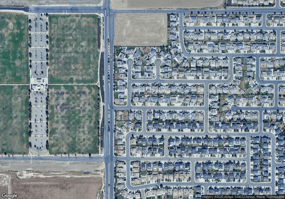
Map
Nearby Homes
- 6310 Thorton Ave
- 6225 Thorton Ave
- 6201 Cape Cod Ave
- 6040 Samuelson St
- 9000 Farmington Way
- 6230 Taft Hwy
- 6009 Moonstone Peak Dr
- 6021 Bogart Dr
- 5918 Esmerelda Ave
- 9402 Cobble Mountain Rd
- 6200 Whaleback Ave
- 5612 Mckee Rd
- 5808 Esmerelda Ave
- 5809 Turquoise Ridge Dr
- 9623 Kanosh Cobble Dr
- 5831 Mardal Ave
- 5828 Commonwealth Ave
- 5829 Commonwealth Ave
- 5407 Red Wheat Ave
- 9003 Great Harvest Dr
- 6406 Thorton Ave
- 6324 Thorton Ave
- 6316 Thorton Ave
- 6325 Oxford Hills Dr
- 6321 Thorton Ave
- 6405 Thorton Ave
- 6331 Oxford Hills Dr
- 6319 Oxford Hills Dr
- 6411 Thorton Ave
- 6315 Thorton Ave
- 9119 Selma St
- 6313 Oxford Hills Dr
- 9113 Selma St
- 6309 Thorton Ave
- 6307 Oxford Hills Dr
- 6400 Cape Cod Ave
- 9107 Selma St
- 6312 Cape Cod Ave
- 6406 Cape Cod Ave
- 6304 Thorton Ave
Your Personal Tour Guide
Ask me questions while you tour the home.