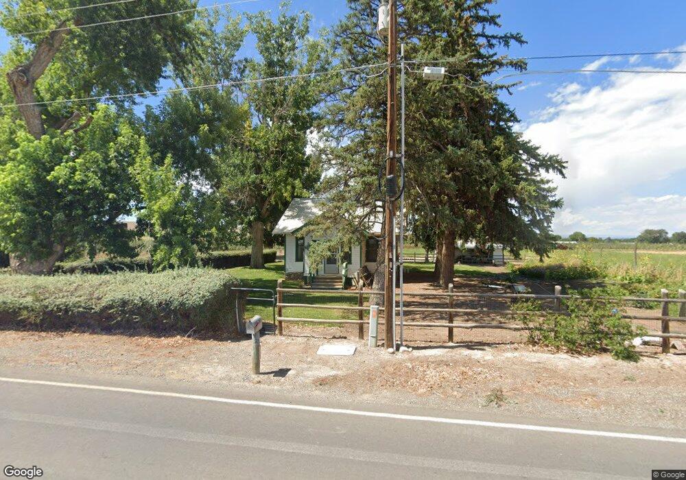
6401 5825 Rd Olathe, CO 81425
Estimated Value: $257,000 - $349,000
Studio
1
Bath
1,200
Sq Ft
$259/Sq Ft
Est. Value
About This Home
This home is located at 6401 5825 Rd, Olathe, CO 81425 and is currently estimated at $311,085, approximately $259 per square foot. 6401 5825 Rd is a home located in Montrose County with nearby schools including Olathe Elementary School, Olathe Middle and High School, and Olathe Middle School.
Ownership History
Date
Name
Owned For
Owner Type
Purchase Details
Closed on
Dec 15, 2004
Sold by
Mcmichael Family Trust The
Bought by
Wo/E Property Management Llc
Current Estimated Value
Purchase Details
Closed on
Dec 13, 2004
Bought by
Mcmichael Family Trust The
Purchase Details
Closed on
May 28, 1998
Sold by
Mcmichael Elmer L and Mcmichael Velma L
Bought by
Mcmichael Family Trust The
Purchase Details
Closed on
Jun 24, 1966
Sold by
Cooper Wayne O and Cooper Alice Mae
Bought by
Mcmichael Elmer L and Mcmichael Velma L
Create a Home Valuation Report for This Property
The Home Valuation Report is an in-depth analysis detailing your home's value as well as a comparison with similar homes in the area
Purchase History
| Date | Buyer | Sale Price | Title Company |
|---|---|---|---|
| Wo/E Property Management Llc | $139,000 | -- | |
| Mcmichael Family Trust The | -- | -- | |
| Mcmichael Family Trust The | -- | -- | |
| Mcmichael Elmer L | $8,000 | -- |
Source: Public Records
Tax History
| Year | Tax Paid | Tax Assessment Tax Assessment Total Assessment is a certain percentage of the fair market value that is determined by local assessors to be the total taxable value of land and additions on the property. | Land | Improvement |
|---|---|---|---|---|
| 2024 | $1,328 | $14,130 | $4,930 | $9,200 |
| 2023 | $990 | $18,480 | $6,450 | $12,030 |
| 2022 | $774 | $12,300 | $3,290 | $9,010 |
| 2021 | $799 | $12,640 | $3,380 | $9,260 |
| 2020 | $704 | $11,360 | $3,160 | $8,200 |
| 2019 | $709 | $11,360 | $3,160 | $8,200 |
| 2018 | $638 | $9,950 | $2,650 | $7,300 |
| 2017 | $637 | $9,950 | $2,650 | $7,300 |
| 2016 | $608 | $9,680 | $2,550 | $7,130 |
| 2015 | $561 | $9,680 | $2,550 | $7,130 |
| 2014 | $501 | $9,250 | $2,550 | $6,700 |
Source: Public Records
Map
Nearby Homes
- 6910 High Mesa Rd
- 6859 Church St
- 615 S Church Ave
- 6851 Church Rd
- 217 N Highway 50 Business Loop
- Lot 2(TBD) Wilson Ave
- 59727 U S 50
- 6617 5700 Rd
- 7528 S River Rd
- 58177 Garner Ln
- 56577 Hawthorne Ln
- 5345 Highway 348
- 7276 5550 Rd
- 7655 6075 Rd
- 55744 Fuchsia Ln
- 9550 High Mesa Rd
- 57001 Begonia Rd
- 9838 5650 Rd
- 58703 Ida Rd
- TBD 1.5 Acres Ida Rd
Your Personal Tour Guide
Ask me questions while you tour the home.