6401 Sundance Ln Everson, WA 98247
Estimated Value: $1,053,000 - $1,355,720
5
Beds
5
Baths
4,912
Sq Ft
$234/Sq Ft
Est. Value
About This Home
This home is located at 6401 Sundance Ln, Everson, WA 98247 and is currently estimated at $1,147,430, approximately $233 per square foot. 6401 Sundance Ln is a home located in Whatcom County with nearby schools including Irene Reither Elementary School, Meridian Middle School, and Meridian High School.
Ownership History
Date
Name
Owned For
Owner Type
Purchase Details
Closed on
Sep 15, 2004
Sold by
Trott Patsy A
Bought by
Young Gregory D and Young Melissa
Current Estimated Value
Home Financials for this Owner
Home Financials are based on the most recent Mortgage that was taken out on this home.
Original Mortgage
$333,700
Outstanding Balance
$165,984
Interest Rate
5.94%
Mortgage Type
Purchase Money Mortgage
Estimated Equity
$981,446
Create a Home Valuation Report for This Property
The Home Valuation Report is an in-depth analysis detailing your home's value as well as a comparison with similar homes in the area
Home Values in the Area
Average Home Value in this Area
Purchase History
| Date | Buyer | Sale Price | Title Company |
|---|---|---|---|
| Young Gregory D | $425,000 | Stewart Title Company |
Source: Public Records
Mortgage History
| Date | Status | Borrower | Loan Amount |
|---|---|---|---|
| Open | Young Gregory D | $333,700 |
Source: Public Records
Tax History Compared to Growth
Tax History
| Year | Tax Paid | Tax Assessment Tax Assessment Total Assessment is a certain percentage of the fair market value that is determined by local assessors to be the total taxable value of land and additions on the property. | Land | Improvement |
|---|---|---|---|---|
| 2024 | $9,632 | $1,336,442 | $291,523 | $1,044,919 |
| 2023 | $9,632 | $1,239,471 | $374,272 | $865,199 |
| 2022 | $7,073 | $1,055,417 | $343,363 | $712,054 |
| 2021 | $5,378 | $705,221 | $268,249 | $436,972 |
| 2020 | $4,709 | $487,355 | $219,875 | $267,480 |
| 2019 | $4,232 | $429,396 | $193,726 | $235,670 |
| 2018 | $5,014 | $422,135 | $190,450 | $231,685 |
| 2017 | $4,437 | $380,455 | $159,621 | $220,834 |
| 2016 | $4,380 | $357,378 | $149,939 | $207,439 |
| 2015 | $4,402 | $350,783 | $147,172 | $203,611 |
| 2014 | -- | $341,454 | $143,258 | $198,196 |
| 2013 | -- | $361,364 | $170,000 | $191,364 |
Source: Public Records
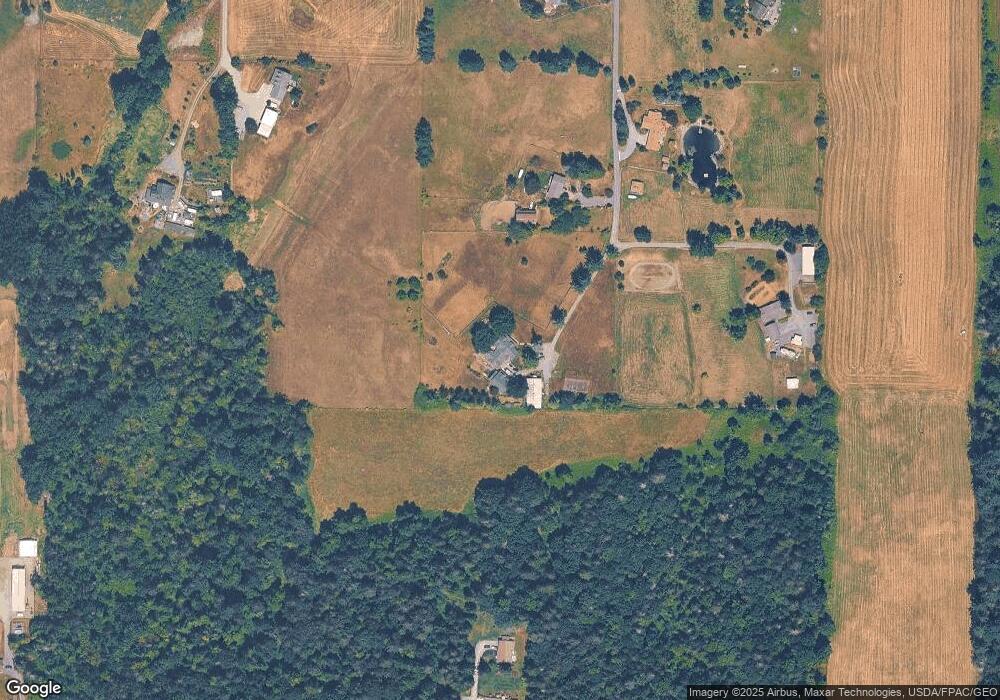
Map
Nearby Homes
- 1383 Ten Mile Rd
- 1817 Central Rd
- 5975 Hoag Ln
- 1822 E Pole Rd
- 918 Citadel Dr
- 6978 Hannegan Rd
- 6732 La Bello Dr
- 6917 Red Ridge Dr
- 7025 Hannegan Rd
- 5539 Noon Rd
- 5818 Everson Goshen Rd
- 2268 Childers Rd
- 5750 Denali Ln
- 5720 Denali Ln
- 5707 Denali Ln
- 740 Denali Ct
- 739 Denali Ct
- 731 Denali Ct
- 720 Denali Ct
- 6068 E Hemmi Ln
- 6409 Sundance Ln
- 6400 Sundance Ln
- 6430 Sundance Ln
- 1400 Ten Mile Rd
- 1426 Ten Mile Rd
- 6461 Sundance Ln
- 1401 Central Rd
- 1397 Central Rd
- 6452 Sundance Ln
- 1423 Ten Mile Rd
- 6483 Sundance Ln
- 1499 Ten Mile Rd
- 1513 Ten Mile Rd
- 1405 Central Rd
- 1477 Central Rd
- 1350 Ten Mile Rd
- 1463 Central Rd
- 1296 Ten Mile Rd
- 1357 Central Rd
- 1517 Central Rd