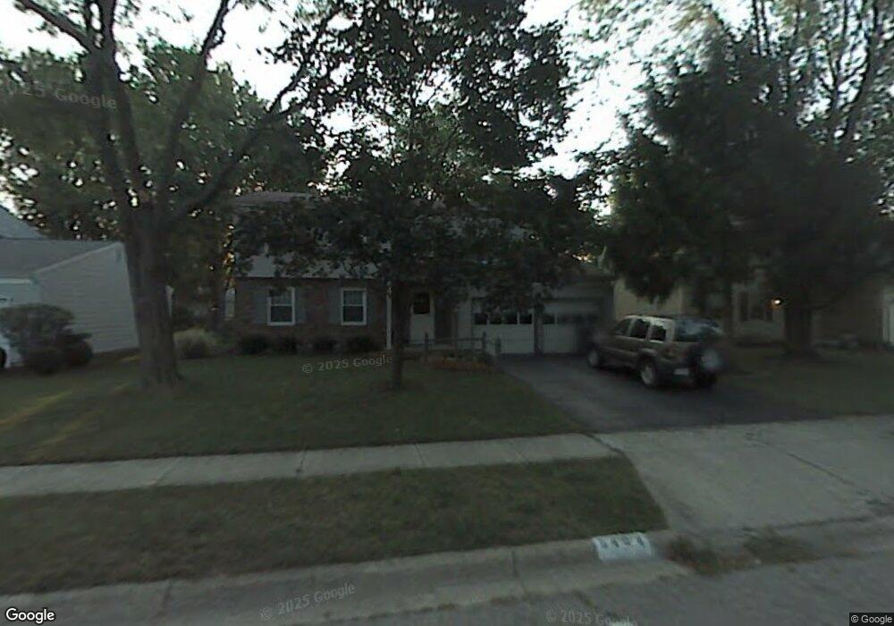
6404 Peardale Rd E Columbus, OH 43229
Northgate NeighborhoodEstimated Value: $309,569 - $354,000
4
Beds
3
Baths
1,930
Sq Ft
$173/Sq Ft
Est. Value
About This Home
This home is located at 6404 Peardale Rd E, Columbus, OH 43229 and is currently estimated at $333,392, approximately $172 per square foot. 6404 Peardale Rd E is a home located in Franklin County with nearby schools including Alpine Elementary School, Northgate Intermediate, and Woodward Park Middle School.
Ownership History
Date
Name
Owned For
Owner Type
Purchase Details
Closed on
Apr 30, 2002
Sold by
Raybould Richard S and Raybould Lee A
Bought by
Ludwig Donald P and Ludwig Laurie A
Current Estimated Value
Home Financials for this Owner
Home Financials are based on the most recent Mortgage that was taken out on this home.
Original Mortgage
$115,400
Interest Rate
7.18%
Create a Home Valuation Report for This Property
The Home Valuation Report is an in-depth analysis detailing your home's value as well as a comparison with similar homes in the area
Home Values in the Area
Average Home Value in this Area
Purchase History
| Date | Buyer | Sale Price | Title Company |
|---|---|---|---|
| Ludwig Donald P | $153,900 | -- |
Source: Public Records
Mortgage History
| Date | Status | Borrower | Loan Amount |
|---|---|---|---|
| Closed | Ludwig Donald P | $115,400 | |
| Closed | Ludwig Donald P | $30,750 |
Source: Public Records
Tax History
| Year | Tax Paid | Tax Assessment Tax Assessment Total Assessment is a certain percentage of the fair market value that is determined by local assessors to be the total taxable value of land and additions on the property. | Land | Improvement |
|---|---|---|---|---|
| 2025 | $4,422 | $98,530 | $21,420 | $77,110 |
| 2024 | $4,422 | $98,530 | $21,420 | $77,110 |
| 2023 | $4,365 | $98,525 | $21,420 | $77,105 |
| 2022 | $3,358 | $64,750 | $13,930 | $50,820 |
| 2021 | $3,364 | $64,750 | $13,930 | $50,820 |
| 2020 | $3,369 | $64,750 | $13,930 | $50,820 |
| 2019 | $3,128 | $51,560 | $11,130 | $40,430 |
| 2018 | $2,814 | $51,560 | $11,130 | $40,430 |
| 2017 | $3,126 | $51,560 | $11,130 | $40,430 |
| 2016 | $2,762 | $41,690 | $8,440 | $33,250 |
| 2015 | $2,507 | $41,690 | $8,440 | $33,250 |
| 2014 | $2,513 | $41,690 | $8,440 | $33,250 |
| 2013 | $1,378 | $46,340 | $9,380 | $36,960 |
Source: Public Records
Map
Nearby Homes
- 1679 Peardale Rd N
- 1635 Tendril Ct
- 6245 Sharon Woods Blvd
- 6336 Archmere Square E
- 6448 Sharon Woods Blvd Unit B
- 1947 Rockdale Dr Unit 33
- 6035 Karl Rd
- 2197 Bayfield Dr
- 1322 Bolenhill Ct
- 5885 Beechcroft Rd Unit 116
- 5885 Beechcroft Rd Unit 313
- 1268 Kildale Ct
- 6191-6193 Ambleside Dr
- 1457 Burnley Square S
- 1281 Home Acre Dr
- 1288 Oakfield Dr N
- 6162 Oakfield Dr E
- 2292 Laurelwood Dr Unit 2292L
- 6048 Pinemoor St
- 5990 Ambleside Dr
- 6396 Peardale Rd E
- 6412 Peardale Rd E
- 6399 Skywae Dr
- 6420 Peardale Rd E
- 6389 Skywae Dr
- 6401 Peardale Rd E
- 6384 Peardale Rd E
- 1760 Parkgate Rd
- 6432 Peardale Rd E
- 6417 Skywae Dr
- 1770 Parkgate Rd
- 1730 Gypsy Ln
- 1732 Parkgate Rd
- 1723 Gypsy Ln
- 6425 Skywae Dr
- 6435 Peardale Rd E
- 6438 Peardale Rd E
- 1720 Parkgate Rd
- 1711 Gypsy Ln
- 1716 Gypsy Ln