6406 Bergquist Rd Duluth, MN 55804
Estimated Value: $602,000 - $727,000
4
Beds
3
Baths
2,478
Sq Ft
$271/Sq Ft
Est. Value
About This Home
This home is located at 6406 Bergquist Rd, Duluth, MN 55804 and is currently estimated at $670,693, approximately $270 per square foot. 6406 Bergquist Rd is a home located in St. Louis County with nearby schools including Minnehaha Elementary School, Two Harbors Secondary, and North Shore Community School.
Ownership History
Date
Name
Owned For
Owner Type
Purchase Details
Closed on
Jul 29, 2002
Sold by
Drennan John G and Drennan Sandra L
Bought by
Stolp Travis W and Stolp Alisha Jean
Current Estimated Value
Purchase Details
Closed on
Nov 15, 1986
Sold by
Thielke Milton G and Thielke Edith E
Bought by
Drennan John G and Drennan Sandra L
Create a Home Valuation Report for This Property
The Home Valuation Report is an in-depth analysis detailing your home's value as well as a comparison with similar homes in the area
Purchase History
| Date | Buyer | Sale Price | Title Company |
|---|---|---|---|
| Stolp Travis W | $21,000 | Arrowhead Abstract & Title C | |
| Drennan John G | -- | -- |
Source: Public Records
Tax History
| Year | Tax Paid | Tax Assessment Tax Assessment Total Assessment is a certain percentage of the fair market value that is determined by local assessors to be the total taxable value of land and additions on the property. | Land | Improvement |
|---|---|---|---|---|
| 2024 | $5,290 | $647,700 | $126,500 | $521,200 |
| 2023 | $5,290 | $516,800 | $112,100 | $404,700 |
| 2022 | $4,298 | $465,200 | $86,500 | $378,700 |
| 2021 | $4,534 | $447,300 | $54,100 | $393,200 |
| 2020 | $4,592 | $447,300 | $54,100 | $393,200 |
| 2019 | $4,438 | $425,400 | $52,600 | $372,800 |
| 2018 | $4,492 | $425,400 | $52,600 | $372,800 |
| 2017 | $3,662 | $425,400 | $52,600 | $372,800 |
| 2016 | $3,212 | $354,700 | $54,400 | $300,300 |
| 2015 | $3,245 | $317,000 | $48,300 | $268,700 |
| 2014 | $3,245 | $317,000 | $48,300 | $268,700 |
Source: Public Records
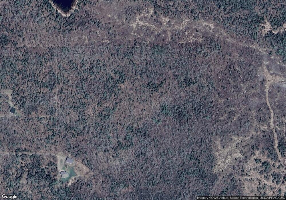
Map
Nearby Homes
- 1838 E Shilhon Rd
- TBD Homestead Rd
- XXXX E Pioneer Rd Unit 6294 E Pioneer Jct R
- 1491 Wildwood Rd
- 5722 Homestead Rd
- 6048 Lakewood Rd
- 5616 Mcquade Rd
- 7001 Olson Rd
- 1430 Stoney Point Dr
- 2643 Lauren Rd
- 2597 Lauren Rd
- 5875 N Shore Dr
- 2783 Lauren Rd
- 226 W 3rd St
- 5377 Mcquade Rd
- 5257 Greenwood Rd
- 1146 Two Harbors Rd
- 540 Old North Shore Rd Unit Cabin 4 Share 2
- 540 Old North Shore Rd Unit Cabin 5 Share 1
- 3-540 Old North Shore Rd Unit Cabin 3 Share 4
- 6374 Bergquist Rd
- 6412 Bergquist Rd
- 6360 Bergquist Rd
- 6336 Bergquist Rd
- 6325 Bergquist Rd
- 1947 E Pioneer Rd
- 1983 E Pioneer Rd
- 2047 E Pioneer Rd
- 2047 E Pioneer Rd
- 2012 E Pioneer Rd
- 1935 E Pioneer Rd
- 1944 E Pioneer Rd
- 2067 E Pioneer Rd
- 2032 E Pioneer Rd
- 2032 E Pioneer Rd
- 2018 E Pioneer Rd
- 2058 E Pioneer Rd
- 2081 E Pioneer Rd
- 2020 E Pioneer Rd
- 6254 Bergquist Rd
Your Personal Tour Guide
Ask me questions while you tour the home.