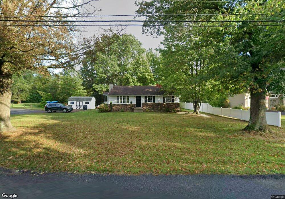
6406 Ferry Rd Doylestown, PA 18902
Plumstead NeighborhoodEstimated Value: $395,537 - $562,000
3
Beds
1
Bath
1,066
Sq Ft
$431/Sq Ft
Est. Value
About This Home
This home is located at 6406 Ferry Rd, Doylestown, PA 18902 and is currently estimated at $459,884, approximately $431 per square foot. 6406 Ferry Rd is a home located in Bucks County with nearby schools including Gayman Elementary School, Tohickon Middle School, and Central Bucks High School - East.
Ownership History
Date
Name
Owned For
Owner Type
Purchase Details
Closed on
Nov 23, 2005
Sold by
Reahm Edythe F
Bought by
Dennis William E
Current Estimated Value
Home Financials for this Owner
Home Financials are based on the most recent Mortgage that was taken out on this home.
Original Mortgage
$214,400
Outstanding Balance
$119,973
Interest Rate
6.39%
Mortgage Type
Fannie Mae Freddie Mac
Estimated Equity
$339,911
Purchase Details
Closed on
Oct 23, 1974
Bought by
Reahm Edythe F
Create a Home Valuation Report for This Property
The Home Valuation Report is an in-depth analysis detailing your home's value as well as a comparison with similar homes in the area
Home Values in the Area
Average Home Value in this Area
Purchase History
| Date | Buyer | Sale Price | Title Company |
|---|---|---|---|
| Dennis William E | $268,000 | None Available | |
| Reahm Edythe F | -- | -- |
Source: Public Records
Mortgage History
| Date | Status | Borrower | Loan Amount |
|---|---|---|---|
| Open | Dennis William E | $214,400 |
Source: Public Records
Tax History
| Year | Tax Paid | Tax Assessment Tax Assessment Total Assessment is a certain percentage of the fair market value that is determined by local assessors to be the total taxable value of land and additions on the property. | Land | Improvement |
|---|---|---|---|---|
| 2025 | $3,267 | $18,800 | $3,880 | $14,920 |
| 2024 | $3,267 | $18,800 | $3,880 | $14,920 |
| 2023 | $3,163 | $18,800 | $3,880 | $14,920 |
| 2022 | $3,127 | $18,800 | $3,880 | $14,920 |
| 2021 | $3,092 | $18,800 | $3,880 | $14,920 |
| 2020 | $3,092 | $18,800 | $3,880 | $14,920 |
| 2019 | $3,074 | $18,800 | $3,880 | $14,920 |
| 2018 | $3,074 | $18,800 | $3,880 | $14,920 |
| 2017 | $3,031 | $18,800 | $3,880 | $14,920 |
| 2016 | $3,031 | $18,800 | $3,880 | $14,920 |
| 2015 | -- | $18,800 | $3,880 | $14,920 |
| 2014 | -- | $18,800 | $3,880 | $14,920 |
Source: Public Records
Map
Nearby Homes
- 6246 Point Pleasant Pike
- 6934 Greene Meadow Ln
- 5987 Point Pleasant Pike
- 5382 Wismer Rd
- 7021 Swagger Rd
- Lot 1 Groveland Rd
- 6469 Groveland Rd
- 5805 Ridgeview Dr
- 5829 Ridgeview Dr
- 6163 Carversville Rd
- 0 Old Durham Rd
- 5380 Point Pleasant Pike
- 7640 Tohickon Hill Rd
- 59 Byram Rd
- 6680 Point Pleasant Pike
- 5182 Point Pleasant Pike
- 159 Byram Ln
- 5895 Rodgers Rd
- 5491 Long Ln
- Lot (# 1) 6465 Greenhill Rd
Your Personal Tour Guide
Ask me questions while you tour the home.