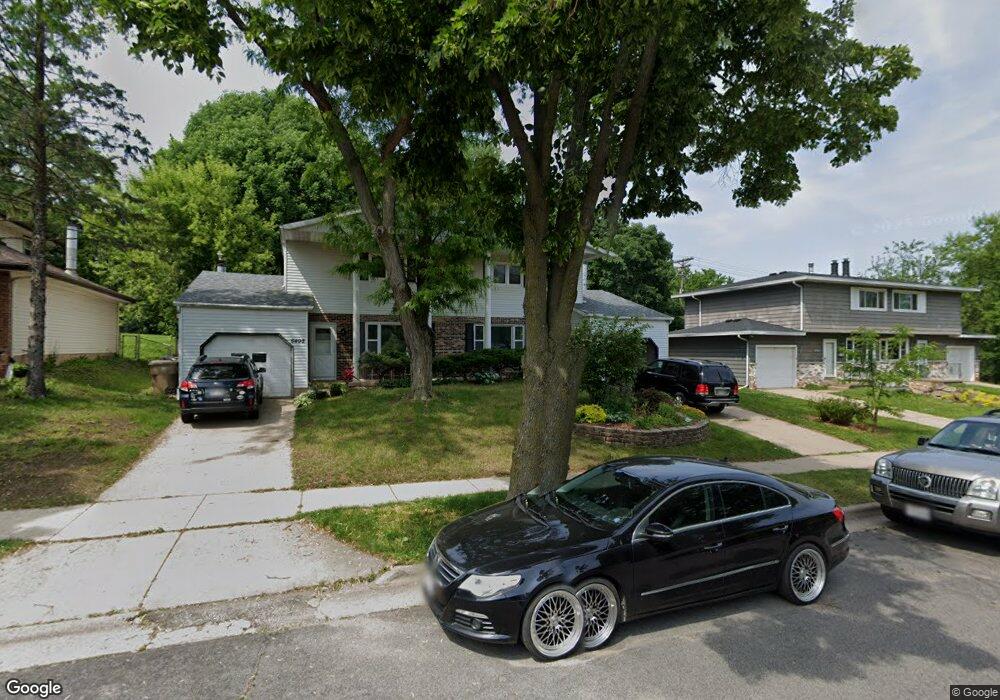
6406 Raymond Rd Madison, WI 53711
Prairie Hills NeighborhoodEstimated Value: $460,010 - $604,000
6
Beds
4
Baths
2,624
Sq Ft
$195/Sq Ft
Est. Value
About This Home
This home is located at 6406 Raymond Rd, Madison, WI 53711 and is currently estimated at $510,753, approximately $194 per square foot. 6406 Raymond Rd is a home located in Dane County with nearby schools including Milele Chikasa Anana, Spring Harbor Middle School, and Vel Phillips Memorial High School.
Ownership History
Date
Name
Owned For
Owner Type
Purchase Details
Closed on
Apr 14, 2021
Sold by
Hofmeister Thomas J and Robert M Hofmeister Estate
Bought by
Miller Nicholas J
Current Estimated Value
Home Financials for this Owner
Home Financials are based on the most recent Mortgage that was taken out on this home.
Original Mortgage
$289,987
Outstanding Balance
$261,823
Interest Rate
3%
Mortgage Type
FHA
Estimated Equity
$248,930
Purchase Details
Closed on
Jun 11, 2020
Sold by
Hofmeister Luanne N and Hofmeister Luann N
Bought by
Hofmeister Robert M
Create a Home Valuation Report for This Property
The Home Valuation Report is an in-depth analysis detailing your home's value as well as a comparison with similar homes in the area
Home Values in the Area
Average Home Value in this Area
Purchase History
| Date | Buyer | Sale Price | Title Company |
|---|---|---|---|
| Miller Nicholas J | $320,000 | None Available | |
| Hofmeister Robert M | -- | None Available |
Source: Public Records
Mortgage History
| Date | Status | Borrower | Loan Amount |
|---|---|---|---|
| Open | Miller Nicholas J | $289,987 |
Source: Public Records
Tax History
| Year | Tax Paid | Tax Assessment Tax Assessment Total Assessment is a certain percentage of the fair market value that is determined by local assessors to be the total taxable value of land and additions on the property. | Land | Improvement |
|---|---|---|---|---|
| 2025 | $10,801 | $436,700 | $113,300 | $323,400 |
| 2024 | $19,519 | $397,000 | $113,300 | $283,700 |
| 2023 | $8,410 | $360,900 | $103,000 | $257,900 |
| 2022 | $16,148 | $325,100 | $92,800 | $232,300 |
| 2021 | $6,166 | $280,300 | $80,000 | $200,300 |
| 2020 | $5,349 | $241,600 | $69,000 | $172,600 |
| 2019 | $5,371 | $241,600 | $69,000 | $172,600 |
| 2018 | $5,506 | $234,600 | $69,000 | $165,600 |
| 2017 | $4,482 | $195,500 | $69,000 | $126,500 |
| 2016 | $4,354 | $184,400 | $69,000 | $115,400 |
| 2015 | $4,256 | $175,500 | $69,000 | $106,500 |
| 2014 | $4,174 | $175,500 | $69,000 | $106,500 |
| 2013 | $4,589 | $184,700 | $67,000 | $117,700 |
Source: Public Records
Map
Nearby Homes
- 6401 Raymond Rd
- 6305 Jacobs Way
- 2309 Mckenna Blvd
- 6013 Raymond Rd
- 1602 Redwood Ln
- 6806 Raymond Rd Unit 101
- 2502 Sara Rd
- 5837 Raymond Rd
- 28 Deer Point Trail
- 2601 Mckenna Blvd
- 21 Piedmont Ct
- 5710 Russett Rd
- 1 Maple View Ct
- 1158 Gammon Ln
- 6717 Park Edge Dr Unit A
- 6710 Park Ridge Dr Unit B
- 6734 Park Ridge Dr Unit D
- 2901 Shefford Dr
- 7203 Mid Town Rd Unit 305
- 2102 Manor Green Dr
Your Personal Tour Guide
Ask me questions while you tour the home.