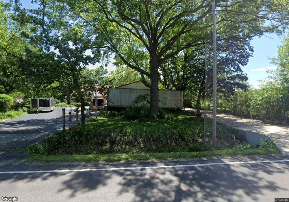
6407 SW 10th Ave Topeka, KS 66615
West Topeka NeighborhoodEstimated Value: $209,000 - $274,000
3
Beds
2
Baths
1,732
Sq Ft
$144/Sq Ft
Est. Value
About This Home
This home is located at 6407 SW 10th Ave, Topeka, KS 66615 and is currently estimated at $249,644, approximately $144 per square foot. 6407 SW 10th Ave is a home located in Shawnee County with nearby schools including Wanamaker Elementary School, Washburn Rural Middle School, and Washburn Rural High School.
Ownership History
Date
Name
Owned For
Owner Type
Purchase Details
Closed on
May 20, 2019
Sold by
Curtis James M and Curtis Judy L
Bought by
Curtis James M and Curtis Judy L
Current Estimated Value
Purchase Details
Closed on
Dec 2, 2013
Sold by
Mcgee Harold M
Bought by
Curtis James M and Curtis Jody L
Purchase Details
Closed on
Nov 10, 2006
Sold by
Curtis James M and Curtis Judy L
Bought by
Curtis James M and Curtis Judy L
Home Financials for this Owner
Home Financials are based on the most recent Mortgage that was taken out on this home.
Original Mortgage
$51,500
Interest Rate
6.1%
Mortgage Type
New Conventional
Create a Home Valuation Report for This Property
The Home Valuation Report is an in-depth analysis detailing your home's value as well as a comparison with similar homes in the area
Home Values in the Area
Average Home Value in this Area
Purchase History
| Date | Buyer | Sale Price | Title Company |
|---|---|---|---|
| Curtis James M | -- | None Available | |
| Curtis James M | -- | None Available | |
| Curtis James M | -- | None Available |
Source: Public Records
Mortgage History
| Date | Status | Borrower | Loan Amount |
|---|---|---|---|
| Previous Owner | Curtis James M | $51,500 |
Source: Public Records
Tax History Compared to Growth
Tax History
| Year | Tax Paid | Tax Assessment Tax Assessment Total Assessment is a certain percentage of the fair market value that is determined by local assessors to be the total taxable value of land and additions on the property. | Land | Improvement |
|---|---|---|---|---|
| 2025 | $3,225 | $21,403 | -- | -- |
| 2023 | $3,225 | $20,571 | $0 | $0 |
| 2022 | $2,915 | $18,367 | $0 | $0 |
| 2021 | $2,559 | $16,112 | $0 | $0 |
| 2020 | $2,388 | $15,345 | $0 | $0 |
| 2019 | $2,320 | $14,898 | $0 | $0 |
| 2018 | $2,059 | $13,291 | $0 | $0 |
| 2017 | $2,042 | $13,030 | $0 | $0 |
| 2014 | $2,073 | $13,030 | $0 | $0 |
Source: Public Records
Map
Nearby Homes
- 1053 SW Harvey St
- 7027 SW 10th St
- 5639 SW West Dr
- 1306 SW Glendale Dr
- 5802 SW Sterling Ln
- 741 SW Mifflin Rd
- 5618 SW 14th St
- 5452 SW 12th Terrace Unit 3
- 1717 SW Stone Crest Dr
- 5518 SW Avalon Ln
- 1100 SW Amhurst Ct
- 1042 SW Amhurst Ct
- 6445 SW 21st Terrace
- 1906 SW Village Dr
- 2222 SW Pondview Dr
- 613 SW Grand Ct
- 1010 SW Ottawa Trail
- 1728 SW Fairlawn Rd
- Lot 4 & .5 of 3 SW Balmoral Ln
- Lot 2 SW Balmoral Ln Unit and east 1/2 of Lot
- 1021 SW Marge Ct
- 1000 SW Marge Ct
- 1010 SW Marge Ct
- 1020 SW Marge Ct
- 1027 SW Marge Ct
- 1026 SW Marge Ct
- 6412 SW 10th Ave
- 6416 SW 10th Ave
- 1033 SW Marge Ct
- 6403 SW 10th Ave
- 1030 SW Marge Ct
- 6404 SW 10th Ave
- 1101 SW Vitt Rd
- 6400 SW 10th Ave
- 6373 SW 10th Ave
- 6366 SW 10th Ave
- 1107 SW Vitt Rd
- 6362 SW 10th Ave
- 6352 SW 11th St
- 6355 SW 11th St