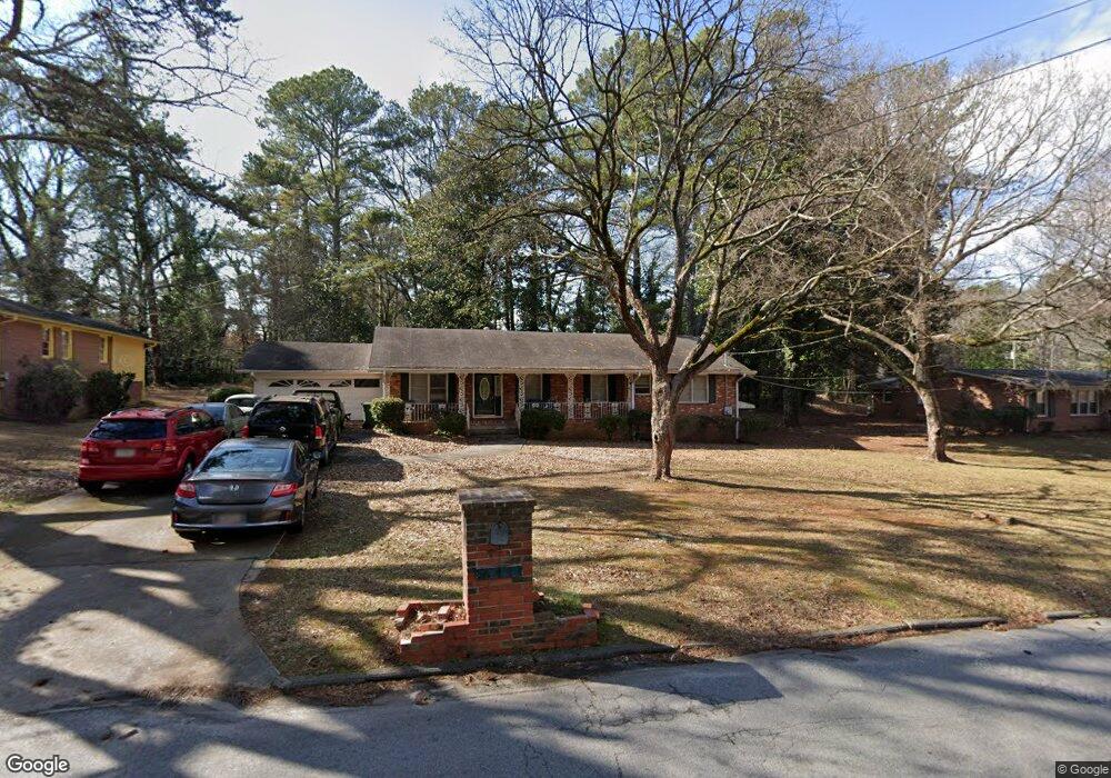
641 Brownlee Rd SW Unit 1 Atlanta, GA 30311
West Manor NeighborhoodEstimated Value: $268,780 - $383,000
3
Beds
2
Baths
1,782
Sq Ft
$173/Sq Ft
Est. Value
About This Home
This home is located at 641 Brownlee Rd SW Unit 1, Atlanta, GA 30311 and is currently estimated at $307,945, approximately $172 per square foot. 641 Brownlee Rd SW Unit 1 is a home located in Fulton County with nearby schools including West Manor Elementary School, Young Middle School, and Mays High School.
Ownership History
Date
Name
Owned For
Owner Type
Purchase Details
Closed on
Nov 3, 1997
Sold by
Kite Albert
Bought by
Bell Michael L
Current Estimated Value
Home Financials for this Owner
Home Financials are based on the most recent Mortgage that was taken out on this home.
Original Mortgage
$123,600
Outstanding Balance
$20,338
Interest Rate
7.31%
Mortgage Type
New Conventional
Estimated Equity
$287,607
Create a Home Valuation Report for This Property
The Home Valuation Report is an in-depth analysis detailing your home's value as well as a comparison with similar homes in the area
Home Values in the Area
Average Home Value in this Area
Purchase History
| Date | Buyer | Sale Price | Title Company |
|---|---|---|---|
| Bell Michael L | $120,000 | -- |
Source: Public Records
Mortgage History
| Date | Status | Borrower | Loan Amount |
|---|---|---|---|
| Open | Bell Michael L | $123,600 |
Source: Public Records
Tax History Compared to Growth
Tax History
| Year | Tax Paid | Tax Assessment Tax Assessment Total Assessment is a certain percentage of the fair market value that is determined by local assessors to be the total taxable value of land and additions on the property. | Land | Improvement |
|---|---|---|---|---|
| 2025 | $1,226 | $85,440 | $25,280 | $60,160 |
| 2023 | $4,153 | $100,320 | $34,760 | $65,560 |
| 2022 | $1,032 | $76,400 | $20,800 | $55,600 |
| 2021 | $988 | $74,200 | $20,200 | $54,000 |
| 2020 | $542 | $52,840 | $7,600 | $45,240 |
| 2019 | $501 | $59,560 | $16,480 | $43,080 |
| 2018 | $57 | $26,920 | $4,560 | $22,360 |
| 2017 | $45 | $25,840 | $4,360 | $21,480 |
| 2016 | $45 | $25,840 | $4,360 | $21,480 |
| 2015 | $582 | $25,840 | $4,360 | $21,480 |
| 2014 | $34 | $20,200 | $5,280 | $14,920 |
Source: Public Records
Map
Nearby Homes
- 3390 Cedar Island Dr SW
- 3330 Pamlico Dr SW
- 3542 Lynfield Dr SW
- 3175 W Manor Cir SW
- 3211 Hollydale Dr SW
- 650 Lynhurst Dr SW
- 3311 Spreading Oak Dr SW
- 3457 Spreading Oak Dr SW
- 602 Lofty Ln
- 852 Venture Way SW
- 847 Venture Way SW
- 837 Crestwell Cir SW
- 839 Crestwell Cir SW
- 761 Lynn Cir SW
- 400 Brownlee Rd SW
- 734 Celeste Ln SW Unit 84
- 668 Lynn Cir SW Unit 3
- 844 Venture Way
- 3365 Ardley Rd SW
- 805 Lynn Cir SW
- 655 Brownlee Rd SW
- 629 Brownlee Rd SW Unit 1
- 3326 Cedar Island Dr SW
- 630 Brownlee Rd SW
- 3336 Cedar Island Dr SW Unit 1
- 640 Brownlee Rd SW
- 640 Brownlee Rd SW Unit A & B
- 620 Brownlee Rd SW
- 3325 Benjamin E Mays Dr SW
- 650 Brownlee Rd SW
- 3311 Cedar Island Dr SW
- 3345 Benjamin E Mays Dr SW
- 3323 Cedar Island Dr SW
- 3303 Benjamin E Mays Dr SW
- 596 Brownlee Rd SW
- 3346 Cedar Island Dr SW
- 3333 Cedar Island Dr SW Unit 1
- 3359 Benjamin E Mays Dr SW Unit 1
- 586 Brownlee Rd SW
- 660 Brownlee Rd SW