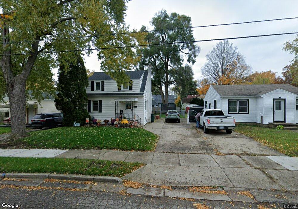
641 E Willard Ave Lansing, MI 48910
Old Everett NeighborhoodEstimated Value: $109,560 - $137,000
Studio
--
Bath
1,040
Sq Ft
$121/Sq Ft
Est. Value
About This Home
This home is located at 641 E Willard Ave, Lansing, MI 48910 and is currently estimated at $125,640, approximately $120 per square foot. 641 E Willard Ave is a home located in Ingham County with nearby schools including Lyons Elementary School, Attwood School, and Everett High School.
Ownership History
Date
Name
Owned For
Owner Type
Purchase Details
Closed on
Dec 30, 2004
Sold by
Russell Pamela K
Bought by
Odenwald Michael and Odenwald Emily
Current Estimated Value
Home Financials for this Owner
Home Financials are based on the most recent Mortgage that was taken out on this home.
Original Mortgage
$84,900
Outstanding Balance
$43,289
Interest Rate
5.9%
Mortgage Type
Purchase Money Mortgage
Estimated Equity
$82,351
Purchase Details
Closed on
Apr 1, 1995
Create a Home Valuation Report for This Property
The Home Valuation Report is an in-depth analysis detailing your home's value as well as a comparison with similar homes in the area
Home Values in the Area
Average Home Value in this Area
Purchase History
| Date | Buyer | Sale Price | Title Company |
|---|---|---|---|
| Odenwald Michael | $84,900 | Fatic | |
| -- | $43,000 | -- |
Source: Public Records
Mortgage History
| Date | Status | Borrower | Loan Amount |
|---|---|---|---|
| Open | Odenwald Michael | $84,900 |
Source: Public Records
Tax History
| Year | Tax Paid | Tax Assessment Tax Assessment Total Assessment is a certain percentage of the fair market value that is determined by local assessors to be the total taxable value of land and additions on the property. | Land | Improvement |
|---|---|---|---|---|
| 2025 | $1,972 | $54,700 | $6,400 | $48,300 |
| 2024 | $15 | $49,500 | $6,400 | $43,100 |
| 2023 | $1,851 | $43,700 | $6,400 | $37,300 |
| 2022 | $1,672 | $38,700 | $5,900 | $32,800 |
| 2021 | $1,637 | $36,000 | $3,800 | $32,200 |
| 2020 | $1,627 | $34,400 | $3,800 | $30,600 |
| 2019 | $1,558 | $30,000 | $3,800 | $26,200 |
| 2018 | $1,462 | $25,100 | $3,800 | $21,300 |
| 2017 | $1,399 | $25,100 | $3,800 | $21,300 |
| 2016 | $1,338 | $24,600 | $3,800 | $20,800 |
| 2015 | $1,338 | $23,500 | $7,684 | $15,816 |
| 2014 | $1,338 | $23,100 | $5,977 | $17,123 |
Source: Public Records
Map
Nearby Homes
- 3101 Plymouth Dr
- 915 Tisdale Ave
- 2340 S Pennsylvania Ave
- 413 E Hodge Ave
- 2208 Lyons Ave
- 320 E Hodge Ave
- 2201 S Pennsylvania Ave
- 2215 Alpha St
- 2302 Maplewood Ave
- 704 Mckim Ave
- 2418 Forest Ave
- 2305 Forest Ave
- 3319 Jewell Ave
- 616 Glendale Ave
- 3603 Parkway Dr
- 215 Dunlap St
- 525 E Mount Hope Ave
- 1818 Ray St
- 2237 Sunnyside Ave
- 1917 Teel Ave
- 647 E Willard Ave
- 637 E Willard Ave
- 633 E Willard Ave
- 640 Park Blvd
- 636 Park Blvd
- 644 Park Blvd
- 640 S Park Blvd
- 707 E Willard Ave
- 629 E Willard Ave
- 632 S Park Blvd
- 640 E Willard Ave
- 644 E Willard Ave
- 636 E Willard Ave
- 706 Park Blvd
- 628 Park Blvd
- 711 E Willard Ave
- 628 S Park Blvd
- 700 E Willard Ave
- 632 E Willard Ave