641 Handy Rd Hiram, GA 30141
East Paulding County NeighborhoodEstimated Value: $457,000 - $723,000
3
Beds
3
Baths
3,877
Sq Ft
$147/Sq Ft
Est. Value
About This Home
This home is located at 641 Handy Rd, Hiram, GA 30141 and is currently estimated at $571,712, approximately $147 per square foot. 641 Handy Rd is a home with nearby schools including Mcgarity Elementary School, P. B. Ritch Middle School, and East Paulding High School.
Ownership History
Date
Name
Owned For
Owner Type
Purchase Details
Closed on
May 5, 2021
Sold by
Paris Kathy J
Bought by
Paris Lee T
Current Estimated Value
Create a Home Valuation Report for This Property
The Home Valuation Report is an in-depth analysis detailing your home's value as well as a comparison with similar homes in the area
Home Values in the Area
Average Home Value in this Area
Purchase History
| Date | Buyer | Sale Price | Title Company |
|---|---|---|---|
| Paris Lee T | -- | -- |
Source: Public Records
Tax History Compared to Growth
Tax History
| Year | Tax Paid | Tax Assessment Tax Assessment Total Assessment is a certain percentage of the fair market value that is determined by local assessors to be the total taxable value of land and additions on the property. | Land | Improvement |
|---|---|---|---|---|
| 2024 | $5,955 | $239,416 | $26,800 | $212,616 |
| 2023 | $7,318 | $280,700 | $25,520 | $255,180 |
| 2022 | $6,164 | $236,444 | $22,560 | $213,884 |
| 2021 | $5,203 | $179,048 | $19,080 | $159,968 |
| 2020 | $4,702 | $158,332 | $18,160 | $140,172 |
| 2019 | $4,295 | $142,544 | $16,360 | $126,184 |
| 2018 | $4,668 | $154,944 | $15,680 | $139,264 |
| 2017 | $4,284 | $140,236 | $15,000 | $125,236 |
| 2016 | $3,615 | $119,548 | $15,000 | $104,548 |
| 2015 | $3,460 | $112,408 | $14,720 | $97,688 |
| 2014 | $3,231 | $102,348 | $13,520 | $88,828 |
| 2013 | -- | $82,400 | $14,840 | $67,560 |
Source: Public Records
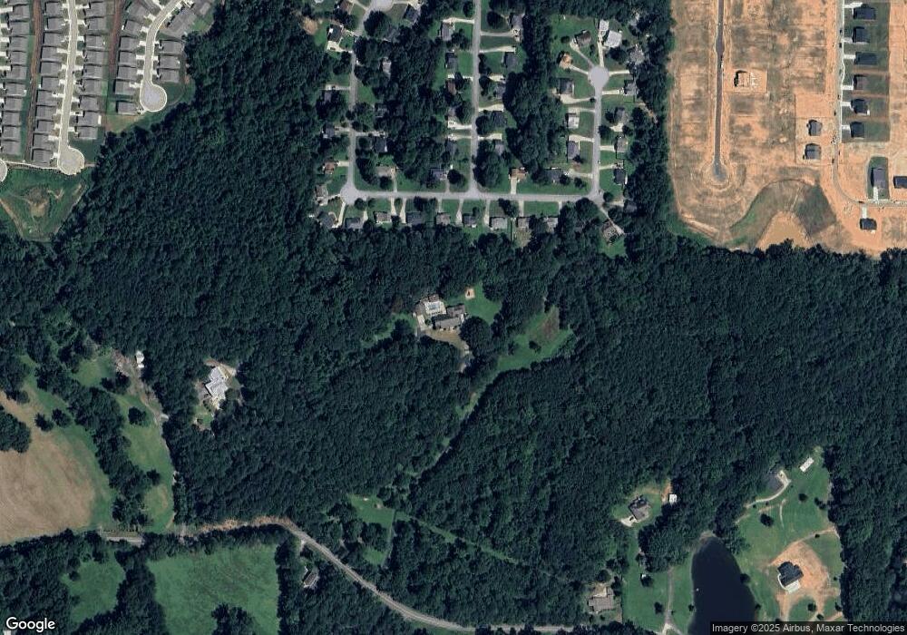
Map
Nearby Homes
- 195 Hickory Grove Ln
- 1083 Handy Rd
- Glynn Plan at Pickens Bluff
- Charlton Plan at Pickens Bluff
- Warren Plan at Pickens Bluff
- Atkinson Plan at Pickens Bluff
- Emerson Plan at Pickens Bluff
- Baldwin Plan at Pickens Bluff
- Madison Plan at Pickens Bluff
- 185 Narrowleaf Ln
- 344 Pickens Bluff Ln
- 358 Pickens Bluff Ln
- 63 Aspen Way
- 220 Pickens Bluff Ln
- 109 Aspen Way
- 185 Pickens Bluff Ln
- 258 Pickens Bluff Ln
- 294 Pickens Bluff Ln
- 130 Pickens Bluff Ln
- 201 Pickens Bluff Ln
- 245 Spring View Ct
- 223 Spring View Ct
- 265 Spring View Ct
- 201 Spring View Ct
- 285 Spring View Ct
- 185 Spring View Ct
- 165 Spring View Ct
- 250 Spring View Ct
- 190 Spring View Ct
- 300 Spring View Ct
- 311 Spring View Ct
- 145 Spring View Ct
- 400 Spring Ridge Dr
- 399 Spring Ridge Dr
- 150 Spring View Ct
- 118 Spring View Ct
- 325 Spring View Ct
- 135 Spring View Ct
- 341 Spring View Ct
- 380 Spring Ridge Dr