641 S Airport Rd Seymour, IN 47274
Estimated Value: $203,000 - $369,262
3
Beds
2
Baths
1,750
Sq Ft
$186/Sq Ft
Est. Value
About This Home
This home is located at 641 S Airport Rd, Seymour, IN 47274 and is currently estimated at $325,566, approximately $186 per square foot. 641 S Airport Rd is a home located in Jackson County with nearby schools including Seymour-Jackson Elementary School, Seymour Middle School, and Seymour Senior High School.
Ownership History
Date
Name
Owned For
Owner Type
Purchase Details
Closed on
May 28, 2021
Sold by
Bamard Joyce
Bought by
Banzai Properties Llc
Current Estimated Value
Purchase Details
Closed on
Sep 23, 2016
Sold by
Barnard Joyce and Johnson Barbara
Bought by
Barnard Joyce
Purchase Details
Closed on
Dec 31, 2001
Sold by
Dixon and Edna
Bought by
Barnard Hershall
Purchase Details
Closed on
Dec 7, 2001
Sold by
Dixon and Edna
Bought by
Barnard Hershall
Create a Home Valuation Report for This Property
The Home Valuation Report is an in-depth analysis detailing your home's value as well as a comparison with similar homes in the area
Home Values in the Area
Average Home Value in this Area
Purchase History
| Date | Buyer | Sale Price | Title Company |
|---|---|---|---|
| Banzai Properties Llc | -- | None Available | |
| Delph Aaron R | -- | None Available | |
| Barnard Joyce | -- | -- | |
| Bernard Joyce | -- | -- | |
| Barnard Hershall | -- | -- | |
| Barnard Hershall | $3,000 | -- |
Source: Public Records
Tax History Compared to Growth
Tax History
| Year | Tax Paid | Tax Assessment Tax Assessment Total Assessment is a certain percentage of the fair market value that is determined by local assessors to be the total taxable value of land and additions on the property. | Land | Improvement |
|---|---|---|---|---|
| 2024 | $794 | $123,300 | $41,000 | $82,300 |
| 2023 | $1,502 | $162,100 | $41,000 | $121,100 |
| 2022 | $1,655 | $164,600 | $43,100 | $121,500 |
| 2021 | $1,007 | $141,800 | $37,300 | $104,500 |
| 2020 | $993 | $143,100 | $37,200 | $105,900 |
| 2019 | $985 | $141,400 | $35,500 | $105,900 |
| 2018 | $1,021 | $142,900 | $35,500 | $107,400 |
| 2017 | $1,222 | $143,800 | $35,500 | $108,300 |
| 2016 | $970 | $145,200 | $35,500 | $109,700 |
| 2014 | $736 | $142,400 | $33,900 | $108,500 |
| 2013 | $736 | $147,800 | $34,000 | $113,800 |
Source: Public Records
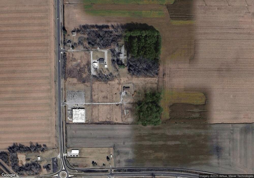
Map
Nearby Homes
- 836 Wendemere Dr
- 924 S Lynn St
- 240 Western Pkwy
- 1725 W 2nd St
- 819 S Lynn St
- 928 S Walnut St
- 715 Jackson St
- 1024 W Oak St
- 604 S Lynn St
- 221 W Harrison Dr
- 312 Juliann Dr
- 140 Stevens Dr
- 900 W Block Laurel (25 & 26) St
- 900 W Block Laurel (27 28) St
- 140 W Harrison Dr
- 802 S Walnut St
- 800 W Block Laurel (15 & 16) St
- 819 Oesting St
- 265 Bryant Blvd
- 112 Cardinal Dr E
- 641 Barnard Ln
- 1300 Colonial Dr
- 643 S Airport Rd
- 600 S Airport Rd
- 600 Block S Airport Rd
- 1849 1st Ave
- 916 F Ave E
- 937 Wendemere Dr
- 400 S Airport Rd
- 931 Wendemere Dr
- 934 Wendemere Dr
- 925 Wendemere Dr
- 928 Wendemere Dr
- 917 Wendemere Dr
- 900 Wendemere Dr
- 909 Wendemere Dr
- 901 Wendemere Dr
- 901 Wendemere Dr
- 922 Wendemere Dr