6411 Stewart Rd Springfield, TN 37172
Estimated Value: $700,000
Studio
1
Bath
1,680
Sq Ft
$417/Sq Ft
Est. Value
About This Home
This home is located at 6411 Stewart Rd, Springfield, TN 37172 and is currently estimated at $700,000, approximately $416 per square foot. 6411 Stewart Rd is a home located in Robertson County with nearby schools including Krisle Elementary School, Innovation Academy, and Springfield High School.
Ownership History
Date
Name
Owned For
Owner Type
Purchase Details
Closed on
Jun 3, 2021
Sold by
West Cheryl Paulette and Barrett Terry Claudette
Bought by
Read Adam David and Read Sarah Elizabeth
Current Estimated Value
Home Financials for this Owner
Home Financials are based on the most recent Mortgage that was taken out on this home.
Original Mortgage
$314,345
Interest Rate
2.9%
Mortgage Type
Future Advance Clause Open End Mortgage
Purchase Details
Closed on
Oct 15, 2020
Sold by
Paulette West Cheryl
Bought by
Robev Family Farms Lllp
Purchase Details
Closed on
Apr 6, 1971
Bought by
Stewart Paul
Create a Home Valuation Report for This Property
The Home Valuation Report is an in-depth analysis detailing your home's value as well as a comparison with similar homes in the area
Home Values in the Area
Average Home Value in this Area
Purchase History
| Date | Buyer | Sale Price | Title Company |
|---|---|---|---|
| Read Adam David | $232,500 | None Available | |
| Robev Family Farms Lllp | -- | -- | |
| Stewart Paul | -- | -- |
Source: Public Records
Mortgage History
| Date | Status | Borrower | Loan Amount |
|---|---|---|---|
| Previous Owner | Read Adam David | $314,345 |
Source: Public Records
Tax History
| Year | Tax Paid | Tax Assessment Tax Assessment Total Assessment is a certain percentage of the fair market value that is determined by local assessors to be the total taxable value of land and additions on the property. | Land | Improvement |
|---|---|---|---|---|
| 2025 | $1,409 | $78,300 | $76,675 | $1,625 |
| 2024 | $1,409 | $78,300 | $76,675 | $1,625 |
| 2023 | $1,409 | $78,300 | $76,675 | $1,625 |
| 2022 | $1,551 | $60,225 | $58,975 | $1,250 |
| 2021 | $2,335 | $60,225 | $58,975 | $1,250 |
| 2020 | $2,335 | $90,650 | $64,150 | $26,500 |
| 2019 | $2,335 | $90,650 | $64,150 | $26,500 |
| 2018 | $2,335 | $90,650 | $64,150 | $26,500 |
| 2017 | $2,243 | $72,700 | $48,950 | $23,750 |
| 2016 | $2,243 | $72,700 | $48,950 | $23,750 |
| 2015 | $2,152 | $72,700 | $48,950 | $23,750 |
| 2014 | $2,152 | $72,700 | $48,950 | $23,750 |
Source: Public Records
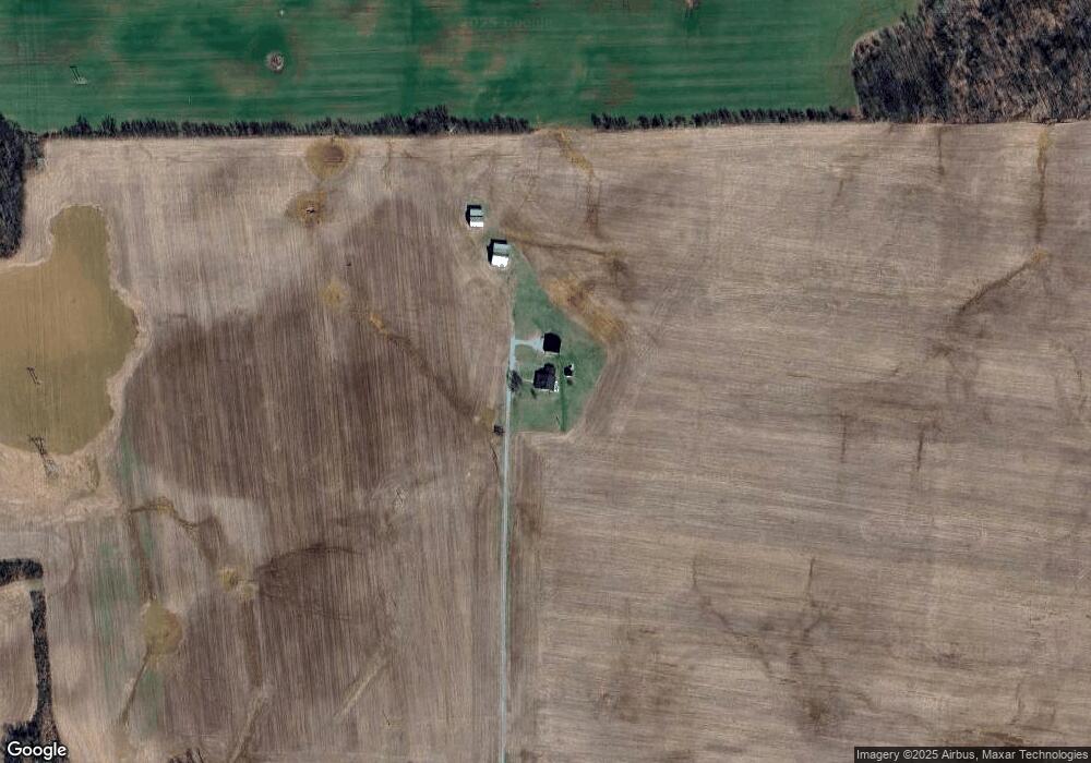
Map
Nearby Homes
- 6538 Highway 431 N
- 5345 Ashburn Rd
- 4785 Pulliam Hardaway Rd
- 305 W Gallatin St
- 290 Old Russellville Loop
- 233 E Gallatin St
- 320 N High St
- 131 Smith Ave
- 1968 Schley Rd
- 5867 Borthick Rd
- 5558 Borthick Rd
- 5654 Borthick Rd
- 5257 Fred Perry Rd
- 6212 H B Lee Rd
- 4352 Dot Rd
- 4436 Barren Plains Rd
- 6442 Highway 161
- 5699 Minnis Rd
- 5685 Minnis Rd
- 90 Dot Rd
- 6360 Stewart Rd
- 5140 Robertson Rd
- 5176 Barbee Rd
- 1360 Smiths Grove Rd
- 943 Smith Grove Rd
- 6652 Highway 431 N
- 6652 Highway 431 N
- 1288 Smiths Grove Rd
- 6606 Highway 431 N
- 6606 Highway 431 N
- 6632 Highway 431 N
- 6632 Highway 431 N
- 6632 Highway 431 N
- 165 Smiths Grove Rd
- 6420 Highway 431 N
- 5002 Robertson Rd
- 6622 Highway 431 N
- 6514 Highway 431 N
- 13773 Nashville Rd
- 5277 Barbee Rd
Your Personal Tour Guide
Ask me questions while you tour the home.