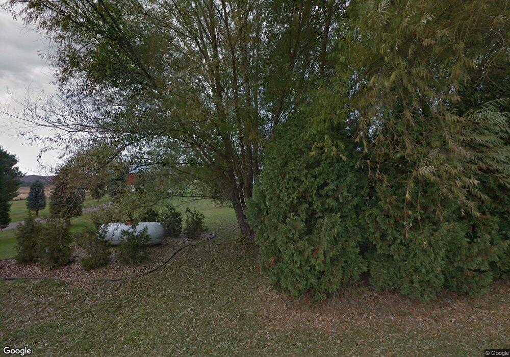
6413 Cattail Rd Sparta, WI 54656
Estimated Value: $310,313 - $416,000
--
Bed
--
Bath
--
Sq Ft
3.47
Acres
About This Home
This home is located at 6413 Cattail Rd, Sparta, WI 54656 and is currently estimated at $343,828. 6413 Cattail Rd is a home located in Monroe County.
Ownership History
Date
Name
Owned For
Owner Type
Purchase Details
Closed on
Mar 30, 2015
Sold by
Marcie Marcie and Klatt Marcie
Bought by
Fulford Marcie
Current Estimated Value
Home Financials for this Owner
Home Financials are based on the most recent Mortgage that was taken out on this home.
Original Mortgage
$180,217
Outstanding Balance
$138,886
Interest Rate
3.77%
Mortgage Type
VA
Estimated Equity
$204,942
Purchase Details
Closed on
Feb 21, 2013
Sold by
Klatt Dennis N
Bought by
Klatt Marcie
Purchase Details
Closed on
May 25, 2006
Sold by
Cassellius Jarett R and Cassellius Beverly K
Bought by
Klatt Dennis N and Klatt Marci
Create a Home Valuation Report for This Property
The Home Valuation Report is an in-depth analysis detailing your home's value as well as a comparison with similar homes in the area
Home Values in the Area
Average Home Value in this Area
Purchase History
| Date | Buyer | Sale Price | Title Company |
|---|---|---|---|
| Fulford Marcie | -- | -- | |
| Klatt Marcie | -- | Hale Skemp Hanson Skemp & Le | |
| Klatt Dennis N | $145,000 | -- |
Source: Public Records
Mortgage History
| Date | Status | Borrower | Loan Amount |
|---|---|---|---|
| Open | Fulford Marcie | $180,217 |
Source: Public Records
Tax History Compared to Growth
Tax History
| Year | Tax Paid | Tax Assessment Tax Assessment Total Assessment is a certain percentage of the fair market value that is determined by local assessors to be the total taxable value of land and additions on the property. | Land | Improvement |
|---|---|---|---|---|
| 2024 | $3,009 | $236,500 | $28,900 | $207,600 |
| 2023 | $2,866 | $236,500 | $28,900 | $207,600 |
| 2022 | $2,808 | $236,500 | $28,900 | $207,600 |
| 2021 | $2,245 | $147,500 | $17,400 | $130,100 |
| 2020 | $2,345 | $147,500 | $17,400 | $130,100 |
| 2019 | $2,319 | $147,500 | $17,400 | $130,100 |
| 2018 | $2,317 | $147,500 | $17,400 | $130,100 |
| 2017 | $2,415 | $147,500 | $17,400 | $130,100 |
| 2016 | $2,336 | $147,500 | $17,400 | $130,100 |
| 2015 | $2,720 | $147,500 | $17,400 | $130,100 |
| 2014 | $2,395 | $147,500 | $17,400 | $130,100 |
| 2011 | -- | $146,100 | $16,000 | $130,100 |
Source: Public Records
Map
Nearby Homes
- 4798 County Highway I
- 8838 County Rd S
- 5869 State Highway 27
- 7493 Carmel Ave
- 1 County Rd S Unit Lot 1
- 7075 Bayport Ave
- 0 County Highway I
- 5500 County Highway I
- 9283 Festival Ave
- 4715 Dallas Ave
- Lot 2 Wisconsin 27
- Lot 1 Wisconsin 27
- 3652 Wisconsin 71
- 13399 State Highway 21
- 13504 County Highway B
- W8659 County Road O
- 4 County Trunk I
- 5 County Rd I Unit Lot 5
- 11911 Goodview Ave
- 11828 Fairway Rd
- 6674 Cattail Rd
- 6588 Cattail Rd
- 0 Cattail Rd
- 9942 County Highway II
- 10281 County Highway II
- 5079 Hwy I
- 0 County Highway II
- 5031 County Rd S
- 7059 Deerwood Rd
- 00 County Highway II
- 5116 County Highway I
- 5031 County Highway I
- 5051 County Highway I
- 5079 County Highway I
- 5080 County Highway I
- 9681 County Highway II
- 4916 County Highway I
- 5232 County Highway I
- 4955 County Highway I
- 5377 County Highway I
