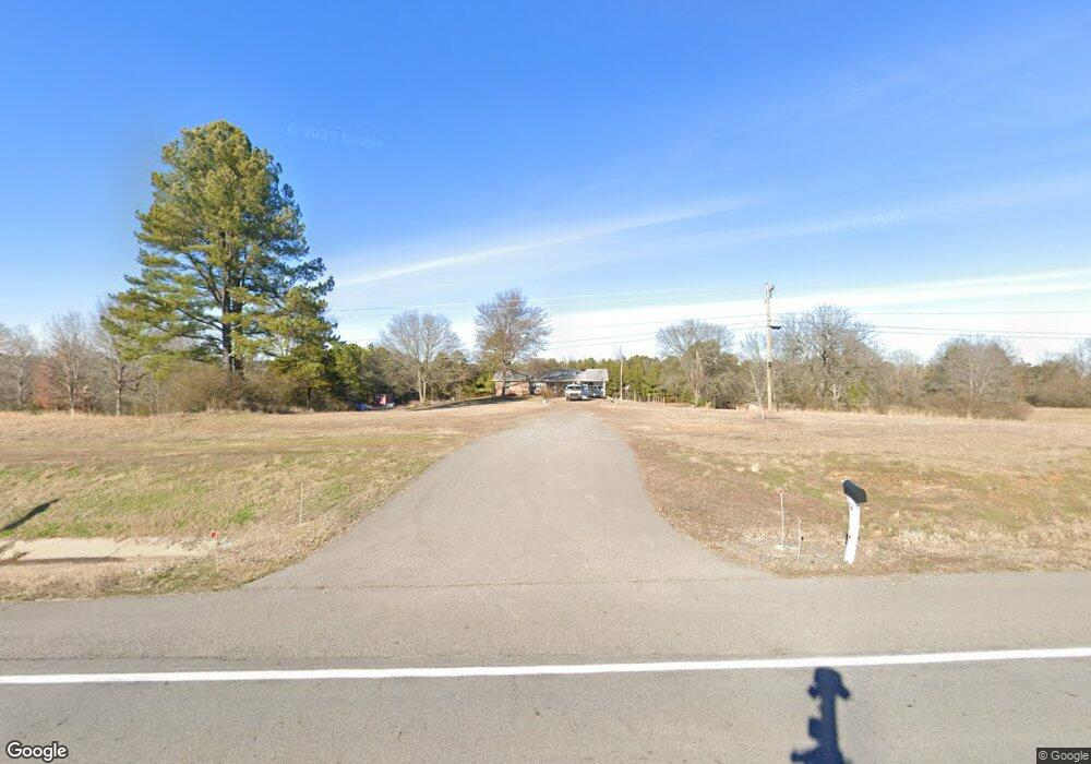
6413 Highway 124 Quitman, AR 72131
Estimated Value: $201,510 - $660,000
--
Bed
1
Bath
1,454
Sq Ft
$226/Sq Ft
Est. Value
About This Home
This home is located at 6413 Highway 124, Quitman, AR 72131 and is currently estimated at $328,628, approximately $226 per square foot. 6413 Highway 124 is a home located in Van Buren County with nearby schools including Quitman Elementary School and Quitman High School.
Ownership History
Date
Name
Owned For
Owner Type
Purchase Details
Closed on
Feb 29, 2024
Sold by
Green Michael W and Green Darla D
Bought by
Michael And Darla Green Revocable Living Trus and Green
Current Estimated Value
Purchase Details
Closed on
Oct 2, 2020
Sold by
Dowdy Jerry
Bought by
Green Michael W and Green Darla D
Home Financials for this Owner
Home Financials are based on the most recent Mortgage that was taken out on this home.
Original Mortgage
$127,891
Interest Rate
2.9%
Mortgage Type
New Conventional
Purchase Details
Closed on
Jun 17, 1997
Bought by
Dowdy
Purchase Details
Closed on
Aug 30, 1991
Bought by
Perez
Create a Home Valuation Report for This Property
The Home Valuation Report is an in-depth analysis detailing your home's value as well as a comparison with similar homes in the area
Home Values in the Area
Average Home Value in this Area
Purchase History
| Date | Buyer | Sale Price | Title Company |
|---|---|---|---|
| Michael And Darla Green Revocable Living Trus | -- | None Listed On Document | |
| Green Michael W | $150,460 | Lenders Title Company | |
| Dowdy | $83,000 | -- | |
| Perez | $63,000 | -- |
Source: Public Records
Mortgage History
| Date | Status | Borrower | Loan Amount |
|---|---|---|---|
| Previous Owner | Green Michael W | $127,891 |
Source: Public Records
Tax History Compared to Growth
Tax History
| Year | Tax Paid | Tax Assessment Tax Assessment Total Assessment is a certain percentage of the fair market value that is determined by local assessors to be the total taxable value of land and additions on the property. | Land | Improvement |
|---|---|---|---|---|
| 2024 | $658 | $15,190 | $1,100 | $14,090 |
| 2023 | $687 | $15,190 | $1,100 | $14,090 |
| 2022 | $687 | $15,190 | $1,100 | $14,090 |
| 2021 | $686 | $15,190 | $1,100 | $14,090 |
| 2020 | $648 | $15,170 | $1,080 | $14,090 |
| 2019 | $627 | $14,670 | $1,120 | $13,550 |
| 2018 | $627 | $14,670 | $1,120 | $13,550 |
| 2017 | $593 | $14,670 | $1,120 | $13,550 |
| 2015 | -- | $12,800 | $880 | $11,920 |
| 2014 | -- | $12,800 | $880 | $11,920 |
| 2013 | -- | $12,800 | $880 | $11,920 |
Source: Public Records
Map
Nearby Homes
- 7135 Highway 124
- 757 Shady Meadow Rd
- 000 Truman Renolds Dr
- 100 Mount Pleasant Rd
- 30 Turkey Roost Dr
- 75 Turkey Roost Dr
- 85 Turkey Roost Dr
- 5 Walnut St
- 29 Paul St
- 49 Landrum Rd
- 303 Bee Branch Rd
- 000 Rosebud Rd
- 212 Wolf Branch Rd
- 3306 Black Hill Rd
- 000 Black Hill Rd
- 623 Batesville Mountain Rd
- 00 Ashberry Ln
- 410 Locust St
- 2053 Highway 124
- 0000 Arkansas 25
- 6410 Highway 124
- 6491 Highway 124
- 6335 Highway 124
- 6335 Highway 124
- 6562 Highway 124
- 6238 Highway 124
- 6279 Highway 124
- 6621 Highway 124
- 0 Highway 124 Unit 18000795
- 6614 Highway 124
- 899 Sheep Shank Bend
- 6774 Highway 124
- 859 Sheep Shank Bend
- 6829 Highway 124
- 644 Sheep Shank Bend
- 7086 Highway 124
- 7083 Highway 124
- 7083 Highway 124
- 5855 Highway 124
- 970 Shady Meadow Rd