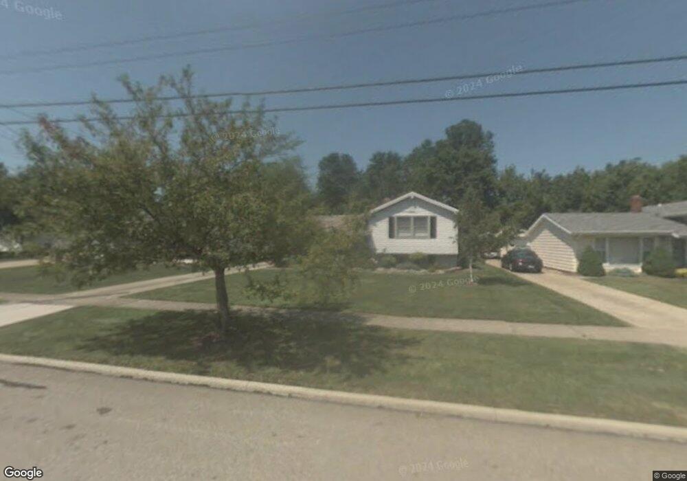
6413 Longridge Rd Cleveland, OH 44124
Estimated Value: $297,288 - $358,000
3
Beds
2
Baths
1,818
Sq Ft
$180/Sq Ft
Est. Value
About This Home
This home is located at 6413 Longridge Rd, Cleveland, OH 44124 and is currently estimated at $327,572, approximately $180 per square foot. 6413 Longridge Rd is a home located in Cuyahoga County with nearby schools including Mayfield High School, Gilmour Academy, and University School.
Ownership History
Date
Name
Owned For
Owner Type
Purchase Details
Closed on
Aug 10, 2012
Sold by
Lewis Robin and Lewis Gayle
Bought by
Lewis Robin
Current Estimated Value
Purchase Details
Closed on
Nov 22, 2010
Sold by
Lewis Gayle
Bought by
Lewis Robin and Lewis Gayle
Purchase Details
Closed on
Feb 9, 2000
Sold by
Estate Of Robert Lewis
Bought by
Lewis Florence
Purchase Details
Closed on
Jan 1, 1975
Bought by
Lewis Robert and Lewis Florence
Create a Home Valuation Report for This Property
The Home Valuation Report is an in-depth analysis detailing your home's value as well as a comparison with similar homes in the area
Home Values in the Area
Average Home Value in this Area
Purchase History
| Date | Buyer | Sale Price | Title Company |
|---|---|---|---|
| Lewis Robin | -- | None Available | |
| Lewis Robin | -- | None Available | |
| Lewis Florence | -- | -- | |
| Lewis Robert | -- | -- |
Source: Public Records
Tax History Compared to Growth
Tax History
| Year | Tax Paid | Tax Assessment Tax Assessment Total Assessment is a certain percentage of the fair market value that is determined by local assessors to be the total taxable value of land and additions on the property. | Land | Improvement |
|---|---|---|---|---|
| 2024 | $5,235 | $89,810 | $18,655 | $71,155 |
| 2023 | $4,340 | $65,950 | $14,460 | $51,490 |
| 2022 | $4,196 | $65,940 | $14,455 | $51,485 |
| 2021 | $4,153 | $65,940 | $14,460 | $51,490 |
| 2020 | $3,779 | $56,350 | $12,360 | $44,000 |
| 2019 | $3,662 | $161,000 | $35,300 | $125,700 |
| 2018 | $3,642 | $56,350 | $12,360 | $44,000 |
| 2017 | $4,377 | $53,940 | $11,170 | $42,770 |
| 2016 | $4,344 | $53,940 | $11,170 | $42,770 |
| 2015 | $3,388 | $53,940 | $11,170 | $42,770 |
| 2014 | $3,388 | $53,940 | $11,170 | $42,770 |
Source: Public Records
Map
Nearby Homes
- 6419 Longridge Rd
- 6464 Woodhawk Dr
- 6344 Woodhawk Dr
- 220 Fox Hollow Dr Unit 308
- 180 Fox Hollow Dr Unit 105
- 140 Fox Hollow Dr Unit 201A
- 200 Fox Hollow Dr Unit 100
- 200 Fox Hollow Dr Unit 104
- 210 Teal Trace Unit 210
- 6578 Gates Mills Blvd
- VL Som Center Rd
- 6132 Westerham Rd
- 2565 Cedarwood Rd
- 31799 Gates Mills Blvd
- 2437 Cedarwood Rd
- 1604 Fruitland Ave
- 1593 Woodhurst Ave
- 46 Bridgeport Way
- 43 Bridgeport Way
- 31000 Cedar Rd
- 6407 Longridge Rd
- 6425 Longridge Rd
- 6401 Longridge Rd
- 6416 Woodhawk Dr
- 6431 Longridge Rd
- 6408 Woodhawk Dr
- 6395 Longridge Rd
- 6424 Woodhawk Dr
- 6404 Woodhawk Dr
- 6412 Longridge Rd
- 6406 Longridge Rd
- 6437 Longridge Rd
- 6400 Longridge Rd
- 6432 Woodhawk Dr
- 6389 Longridge Rd
- 6426 Longridge Rd
- 6394 Longridge Rd
- 6400 Woodhawk Dr
- 6443 Longridge Rd
- 6432 Longridge Rd