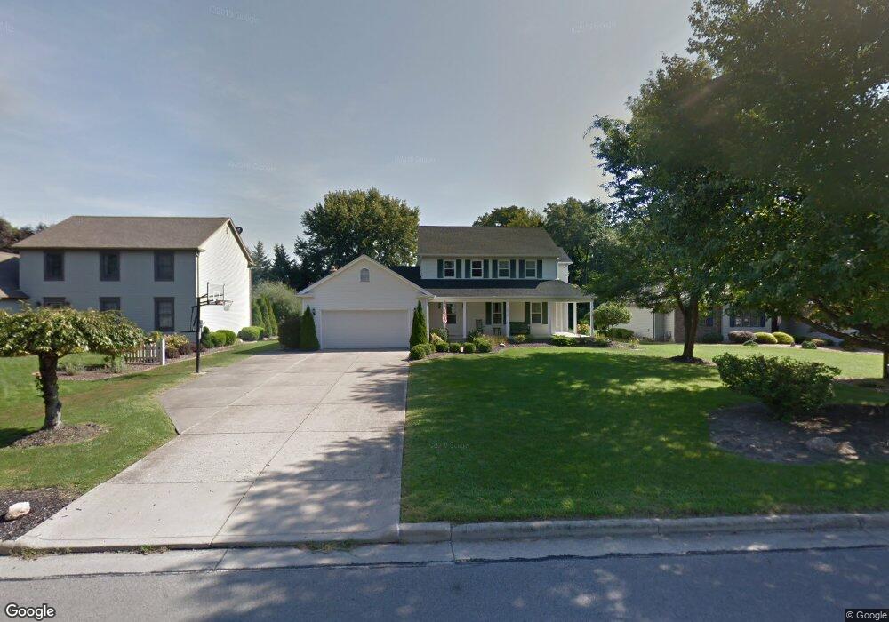
6413 Tara Dr Youngstown, OH 44514
Estimated Value: $349,000 - $381,000
3
Beds
3
Baths
2,240
Sq Ft
$163/Sq Ft
Est. Value
About This Home
This home is located at 6413 Tara Dr, Youngstown, OH 44514 and is currently estimated at $365,373, approximately $163 per square foot. 6413 Tara Dr is a home located in Mahoning County with nearby schools including Poland Union Elementary School, Poland Middle School, and Poland Seminary High School.
Ownership History
Date
Name
Owned For
Owner Type
Purchase Details
Closed on
Oct 24, 2016
Sold by
Clutter Willaim W and Clutter Susan A
Bought by
Clutter Willaim W
Current Estimated Value
Home Financials for this Owner
Home Financials are based on the most recent Mortgage that was taken out on this home.
Original Mortgage
$189,000
Outstanding Balance
$151,326
Interest Rate
3.42%
Mortgage Type
New Conventional
Estimated Equity
$214,047
Purchase Details
Closed on
Jan 3, 2011
Sold by
Iudiciani Patrick J and Iudiciani Theresa A
Bought by
Clutter William W and Clutter Susan A
Home Financials for this Owner
Home Financials are based on the most recent Mortgage that was taken out on this home.
Original Mortgage
$188,100
Interest Rate
4.44%
Mortgage Type
New Conventional
Purchase Details
Closed on
Jul 30, 1992
Bought by
Iudiciani Patrick J and Iudiciani T
Create a Home Valuation Report for This Property
The Home Valuation Report is an in-depth analysis detailing your home's value as well as a comparison with similar homes in the area
Home Values in the Area
Average Home Value in this Area
Purchase History
| Date | Buyer | Sale Price | Title Company |
|---|---|---|---|
| Clutter Willaim W | $17,000 | None Available | |
| Clutter William W | $209,000 | Attorney | |
| Iudiciani Patrick J | $145,000 | -- |
Source: Public Records
Mortgage History
| Date | Status | Borrower | Loan Amount |
|---|---|---|---|
| Open | Clutter Willaim W | $189,000 | |
| Previous Owner | Clutter William W | $188,100 |
Source: Public Records
Tax History Compared to Growth
Tax History
| Year | Tax Paid | Tax Assessment Tax Assessment Total Assessment is a certain percentage of the fair market value that is determined by local assessors to be the total taxable value of land and additions on the property. | Land | Improvement |
|---|---|---|---|---|
| 2024 | $5,969 | $115,640 | $9,820 | $105,820 |
| 2023 | $5,898 | $115,640 | $9,820 | $105,820 |
| 2022 | $4,837 | $78,710 | $9,880 | $68,830 |
| 2021 | $4,845 | $78,710 | $9,880 | $68,830 |
| 2020 | $4,864 | $78,710 | $9,880 | $68,830 |
| 2019 | $4,954 | $72,890 | $9,150 | $63,740 |
| 2018 | $4,718 | $72,890 | $9,150 | $63,740 |
| 2017 | $4,602 | $72,890 | $9,150 | $63,740 |
| 2016 | $4,558 | $68,470 | $9,150 | $59,320 |
| 2015 | $4,472 | $68,470 | $9,150 | $59,320 |
| 2014 | $4,486 | $68,470 | $9,150 | $59,320 |
| 2013 | $4,434 | $68,470 | $9,150 | $59,320 |
Source: Public Records
Map
Nearby Homes
- 1738 Island Dr
- 1804 Alverne Dr
- 1827 Alverne Dr
- 1894 Lealand Ave
- 0 Mathews Rd Unit 5149232
- 0 Mathews Rd Unit 5143059
- 1859 Mathews Rd
- 1890 Mathews Rd
- 928 Edenridge Dr
- 8360 South Ave
- 857 Maple Ridge Dr
- 2035 Woodward Ave
- 833 Maple Ridge Dr
- 6229 Appleridge Dr
- 0 Oles Ave
- 34 Venloe Dr
- 6278 Appleridge Dr
- 43 Venloe Dr
- 792 Forest Ridge Dr
- 0 Woodlawn Ave