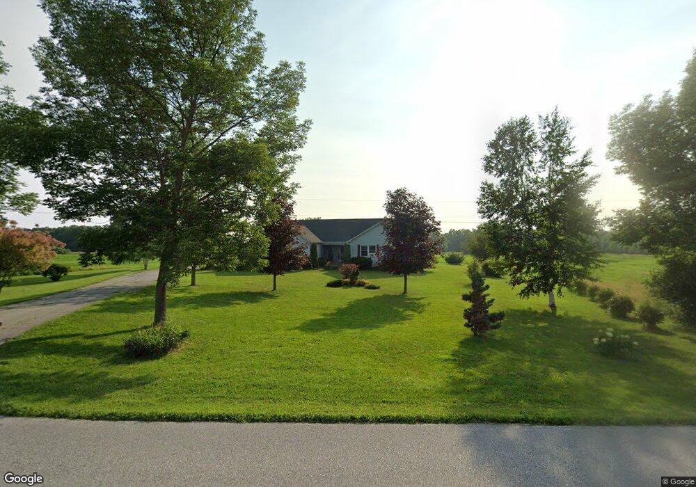
6414 Maquam Shore Rd Swanton, VT 05488
Estimated Value: $576,000 - $602,000
2
Beds
2
Baths
2,272
Sq Ft
$261/Sq Ft
Est. Value
About This Home
This home is located at 6414 Maquam Shore Rd, Swanton, VT 05488 and is currently estimated at $592,201, approximately $260 per square foot. 6414 Maquam Shore Rd is a home with nearby schools including St. Albans Town Educational Center.
Ownership History
Date
Name
Owned For
Owner Type
Purchase Details
Closed on
Mar 6, 2024
Sold by
Peterson Jordan and Peterson Caela
Bought by
Willets Clayton and Lavallee Tracy
Current Estimated Value
Purchase Details
Closed on
Aug 13, 2018
Sold by
Perry Kim M
Bought by
Peterson Jordan and Waite Caela
Purchase Details
Closed on
Aug 16, 2006
Sold by
Soule Barbara J
Bought by
Hurlbet David C and Hurlbut Sandra L
Purchase Details
Closed on
May 12, 2003
Sold by
Paquette Charles A
Bought by
Soule Stephen J and Soule Barbara J
Purchase Details
Closed on
Sep 26, 2000
Sold by
Paquette Suzanne M
Bought by
Paquette Charles A
Create a Home Valuation Report for This Property
The Home Valuation Report is an in-depth analysis detailing your home's value as well as a comparison with similar homes in the area
Home Values in the Area
Average Home Value in this Area
Purchase History
| Date | Buyer | Sale Price | Title Company |
|---|---|---|---|
| Willets Clayton | $565,000 | -- | |
| Peterson Jordan | $322,500 | -- | |
| Hurlbet David C | $300,000 | -- | |
| Soule Stephen J | $260,000 | -- | |
| Paquette Charles A | -- | -- |
Source: Public Records
Tax History Compared to Growth
Tax History
| Year | Tax Paid | Tax Assessment Tax Assessment Total Assessment is a certain percentage of the fair market value that is determined by local assessors to be the total taxable value of land and additions on the property. | Land | Improvement |
|---|---|---|---|---|
| 2024 | $0 | $329,800 | $103,900 | $225,900 |
| 2023 | $0 | $329,800 | $103,900 | $225,900 |
| 2022 | $6,477 | $329,800 | $103,900 | $225,900 |
| 2021 | $6,520 | $329,800 | $103,900 | $225,900 |
| 2020 | $6,050 | $329,800 | $103,900 | $225,900 |
| 2019 | $5,832 | $329,800 | $103,900 | $225,900 |
| 2018 | $8,291 | $329,800 | $103,900 | $225,900 |
| 2017 | $5,557 | $329,800 | $103,900 | $225,900 |
| 2016 | $5,964 | $329,800 | $103,900 | $225,900 |
Source: Public Records
Map
Nearby Homes
- 570 Lapan Rd
- 68 Firefly Ln
- 1 Meadow View Dr
- 4455 Lower Newton Rd
- Lot 20 Rocky Shore Farm Rd
- Lot 23 Rocky Shore Farm Rd
- 600 Fairfax Lot 3 Rd
- 649 Maquam Shore Rd
- 4300 Butler Island W
- 1679 Kellogg Rd
- 499 Lake Rd
- 497 Lake Rd
- 2159 Hathaway Point Rd
- 2 Andersen Ln
- 52 Cody Dr
- 407 Lake Rd
- 40 Dozer Dr
- 16 Dozer Dr
- TBD Olivia Ln Unit Lot 4
- 74 Jean Ln
- 6414 Maquam Shore Rd
- 912 Maquam Shore Rd
- 67 Montagne Rd
- 6254 Maquam Shore Rd
- 201 Samson Rd
- 101 Lake Shore Rd
- 6788 Maquam Shore Rd
- 341 Lake Shore Rd
- 5996 Maquam Shore Rd
- 252 Amelia Rd
- 399 Lake Shore Rd
- 254 Amelia Rd
- 380 Lake Rd
- 860 Maquam Shore Rd
- 380 Lake Shore Rd
- 364 Lake Shore Rd
- 963 Maquam Shore Rd
- 348 Lake Shore Rd
- 348 Lake Rd
- 203 Sholan Rd