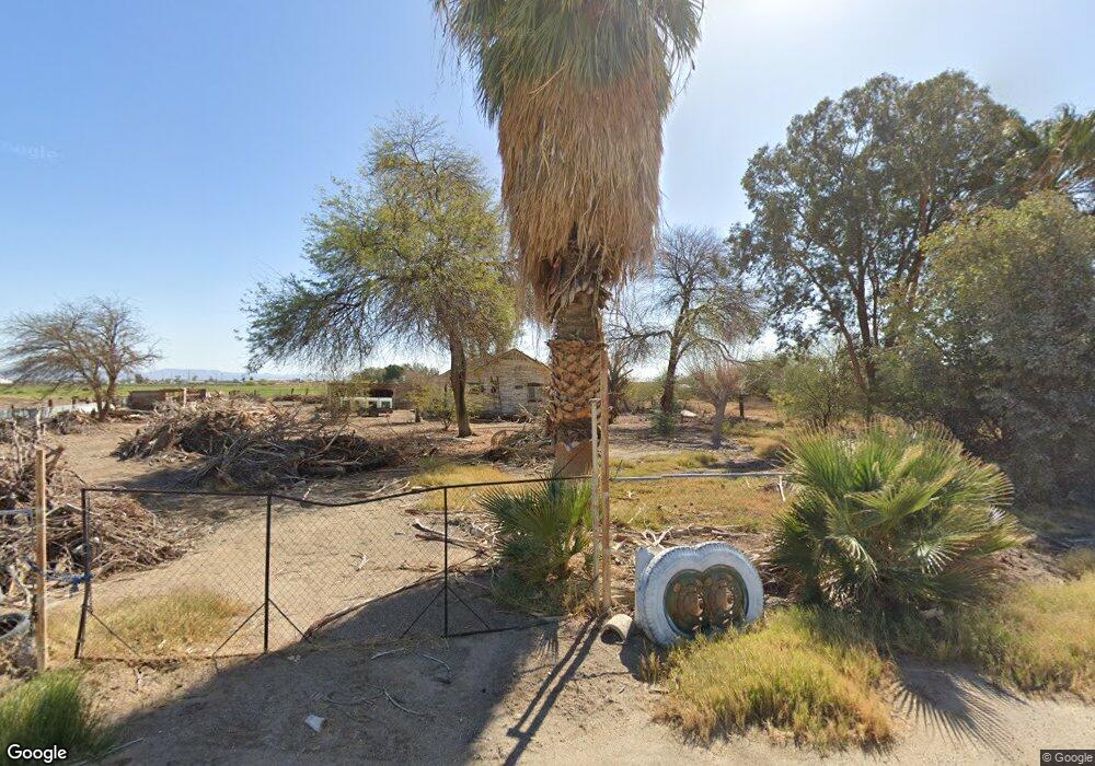
6414 Sperry Rd Calipatria, CA 92233
Estimated Value: $147,351 - $251,000
--
Bed
--
Bath
1,232
Sq Ft
$163/Sq Ft
Est. Value
About This Home
This home is located at 6414 Sperry Rd, Calipatria, CA 92233 and is currently estimated at $200,838, approximately $163 per square foot. 6414 Sperry Rd is a home located in Imperial County with nearby schools including Fremont Primary School, Grace Smith Elementary School, and Bill E. Young Jr. Middle School.
Ownership History
Date
Name
Owned For
Owner Type
Purchase Details
Closed on
Dec 22, 2017
Sold by
Nunez Sergio L
Bought by
Favela Alexis
Current Estimated Value
Purchase Details
Closed on
Mar 20, 2012
Sold by
Nunez Argelia
Bought by
Nunez Sergio L
Purchase Details
Closed on
Sep 13, 2008
Sold by
Moreno Anicia
Bought by
Nunez Argelia
Purchase Details
Closed on
Oct 11, 2004
Sold by
Nunez Argelia
Bought by
Moreno Anicia
Create a Home Valuation Report for This Property
The Home Valuation Report is an in-depth analysis detailing your home's value as well as a comparison with similar homes in the area
Home Values in the Area
Average Home Value in this Area
Purchase History
| Date | Buyer | Sale Price | Title Company |
|---|---|---|---|
| Favela Alexis | -- | None Available | |
| Nunez Sergio L | -- | None Available | |
| Nunez Argelia | -- | None Available | |
| Moreno Anicia | -- | -- |
Source: Public Records
Tax History Compared to Growth
Tax History
| Year | Tax Paid | Tax Assessment Tax Assessment Total Assessment is a certain percentage of the fair market value that is determined by local assessors to be the total taxable value of land and additions on the property. | Land | Improvement |
|---|---|---|---|---|
| 2025 | $376 | $22,750 | $20,478 | $2,272 |
| 2023 | $376 | $21,869 | $19,684 | $2,185 |
| 2022 | $353 | $21,442 | $19,299 | $2,143 |
| 2021 | $354 | $21,022 | $18,921 | $2,101 |
| 2020 | $349 | $20,807 | $18,727 | $2,080 |
| 2019 | $344 | $20,400 | $18,360 | $2,040 |
| 2018 | $340 | $20,000 | $18,000 | $2,000 |
| 2017 | $748 | $54,109 | $28,678 | $25,431 |
| 2016 | $761 | $53,049 | $28,116 | $24,933 |
| 2015 | $721 | $52,253 | $27,694 | $24,559 |
| 2014 | $708 | $51,230 | $27,152 | $24,078 |
Source: Public Records
Map
Nearby Homes
- 0 N2 of Se4 of Se4 of Sec 29 T10s-R15e 20ac Unit 25522007IC
- 0 024260003000 Unit 25001006
- 0 024-260-003-000 Unit IG25029635
- 206 W Date St
- 0 Hwy 111 Unit HD25021917
- 6605 US Highway 111 Unit 6607
- 0 E Church St Unit 22 240025789
- 0 E Church St
- 669 E Bonita St
- 502 E Alamo St
- 0 Elder St
- 0 E Barbara St
- 0 Alamo & Brown Unit 25488125IC
- 0 Alamo & Brown Unit 25488109IC
- 501 Main St
- 526 E Delta St
- 620 E Bonita St
- 655 Main St
- 0 Freeman St Unit NDP2408260
- 1 Montgomery Rd
- 6420 Sperry Rd
- 6421 Sperry Rd
- 0 N2 of Se4 of Se4 of Sec 29 T10s-R15e 20ac Unit 23332497IC
- 6402 English Rd
- 67 W Bowles Rd
- 6410 Riley Rd
- 85 W Eddins Rd Unit 87
- 6485 Riley Rd
- 77 W Eddins Rd Unit 32
- 77 W Eddins Rd Unit 31
- 77 W Eddins Rd
- 77 W Eddins Rd
- 77 W Eddins Rd
- 77 W Eddins Rd
- 6505 Sperry Rd
- 68 W Eddins Rd
- 6510 Sperry Rd
- 64 W Eddins Rd
- 6507 Riley Rd
- 6520 Sperry Rd