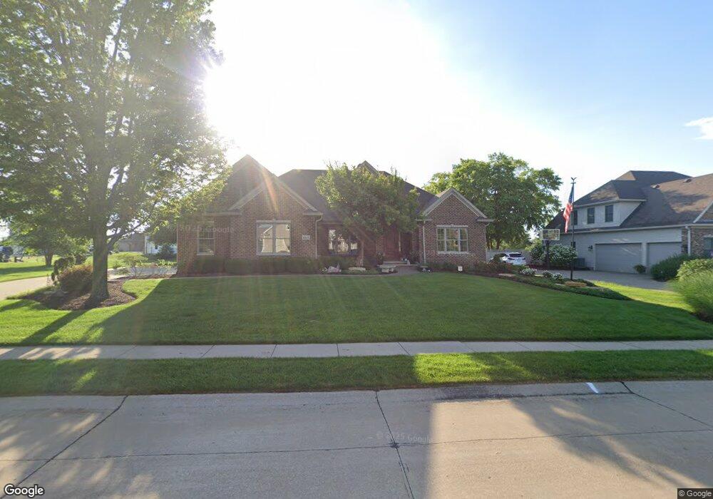
6415 Patrick Pointe Rd Davenport, IA 52807
Estimated Value: $574,000 - $653,557
3
Beds
2
Baths
2,565
Sq Ft
$242/Sq Ft
Est. Value
About This Home
This home is located at 6415 Patrick Pointe Rd, Davenport, IA 52807 and is currently estimated at $620,639, approximately $241 per square foot. 6415 Patrick Pointe Rd is a home located in Scott County with nearby schools including Grant Wood Elementary School, Bettendorf Middle School, and Bettendorf High School.
Ownership History
Date
Name
Owned For
Owner Type
Purchase Details
Closed on
Feb 20, 2006
Sold by
Lundy Corp
Bought by
Collins James H and Collins Karen J
Current Estimated Value
Home Financials for this Owner
Home Financials are based on the most recent Mortgage that was taken out on this home.
Original Mortgage
$450,000
Interest Rate
6.37%
Mortgage Type
Construction
Create a Home Valuation Report for This Property
The Home Valuation Report is an in-depth analysis detailing your home's value as well as a comparison with similar homes in the area
Home Values in the Area
Average Home Value in this Area
Purchase History
| Date | Buyer | Sale Price | Title Company |
|---|---|---|---|
| Collins James H | $85,000 | None Available |
Source: Public Records
Mortgage History
| Date | Status | Borrower | Loan Amount |
|---|---|---|---|
| Closed | Collins James H | $450,000 |
Source: Public Records
Tax History Compared to Growth
Tax History
| Year | Tax Paid | Tax Assessment Tax Assessment Total Assessment is a certain percentage of the fair market value that is determined by local assessors to be the total taxable value of land and additions on the property. | Land | Improvement |
|---|---|---|---|---|
| 2025 | $9,758 | $680,850 | $90,640 | $590,210 |
| 2024 | $9,676 | $578,430 | $90,640 | $487,790 |
| 2023 | $10,414 | $578,430 | $90,640 | $487,790 |
| 2022 | $10,074 | $531,440 | $84,980 | $446,460 |
| 2021 | $10,074 | $519,840 | $84,980 | $434,860 |
| 2020 | $10,420 | $519,840 | $84,980 | $434,860 |
| 2019 | $11,584 | $555,220 | $84,980 | $470,240 |
| 2018 | $11,550 | $555,220 | $84,980 | $470,240 |
| 2017 | $3,088 | $555,220 | $84,980 | $470,240 |
| 2016 | $11,206 | $541,050 | $0 | $0 |
| 2015 | $11,206 | $535,970 | $0 | $0 |
| 2014 | $11,222 | $535,970 | $0 | $0 |
| 2013 | $10,982 | $0 | $0 | $0 |
| 2012 | -- | $559,070 | $85,610 | $473,460 |
Source: Public Records
Map
Nearby Homes
- 6403 Patrick Pointe Rd
- 4009 Thomas Pointe Rd
- 4005 Thomas Pointe Rd
- 6414 Patrick Pointe Rd
- 4013 Thomas Pointe Rd
- 6422 Patrick Pointe Rd
- 4004 Thomas Pointe Rd
- 4017 Thomas Pointe Rd
- 6328 Patrick Pointe Rd
- 4008 Thomas Point Rd
- 4008 Thomas Pointe Rd
- 3935 Thomas Point Rd
- 3935 Thomas Pointe Rd
- 4002 Kathleen Way
- 4012 Thomas Point Rd
- 4012 Thomas Pointe Rd
- 4010 Kathleen Way
- 4000 Thomas Pointe Rd
- 6411 Gabrielle Way
- 6415 Gabrielle Way