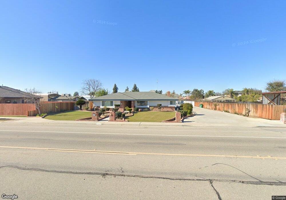
6417 Patton Way Bakersfield, CA 93308
Olive Drive Area NeighborhoodEstimated Value: $492,000 - $598,802
3
Beds
2
Baths
2,637
Sq Ft
$205/Sq Ft
Est. Value
About This Home
This home is located at 6417 Patton Way, Bakersfield, CA 93308 and is currently estimated at $541,701, approximately $205 per square foot. 6417 Patton Way is a home located in Kern County with nearby schools including Olive Drive Elementary School, Norris Middle School, and Centennial High School.
Ownership History
Date
Name
Owned For
Owner Type
Purchase Details
Closed on
Nov 15, 2021
Sold by
Jones Linda Jane
Bought by
Jones Linda Jane and The Linda Jane Jones Living Tr
Current Estimated Value
Purchase Details
Closed on
Jun 5, 1997
Sold by
Ayers Weldon and Ayers Evelyn
Bought by
Jones John Leslie and Jones Linda Jane
Home Financials for this Owner
Home Financials are based on the most recent Mortgage that was taken out on this home.
Original Mortgage
$208,050
Interest Rate
7.91%
Create a Home Valuation Report for This Property
The Home Valuation Report is an in-depth analysis detailing your home's value as well as a comparison with similar homes in the area
Home Values in the Area
Average Home Value in this Area
Purchase History
| Date | Buyer | Sale Price | Title Company |
|---|---|---|---|
| Jones Linda Jane | -- | None Available | |
| Jones John Leslie | $219,000 | American Title Co |
Source: Public Records
Mortgage History
| Date | Status | Borrower | Loan Amount |
|---|---|---|---|
| Previous Owner | Jones John Leslie | $208,050 |
Source: Public Records
Tax History Compared to Growth
Tax History
| Year | Tax Paid | Tax Assessment Tax Assessment Total Assessment is a certain percentage of the fair market value that is determined by local assessors to be the total taxable value of land and additions on the property. | Land | Improvement |
|---|---|---|---|---|
| 2025 | $4,587 | $356,658 | $81,420 | $275,238 |
| 2024 | $4,502 | $349,666 | $79,824 | $269,842 |
| 2023 | $4,502 | $342,810 | $78,259 | $264,551 |
| 2022 | $4,426 | $336,089 | $76,725 | $259,364 |
| 2021 | $4,337 | $329,500 | $75,221 | $254,279 |
| 2020 | $4,216 | $326,122 | $74,450 | $251,672 |
| 2019 | $4,155 | $326,122 | $74,450 | $251,672 |
| 2018 | $4,020 | $313,460 | $71,560 | $241,900 |
| 2017 | $4,039 | $307,314 | $70,157 | $237,157 |
| 2016 | $3,754 | $301,289 | $68,782 | $232,507 |
| 2015 | $3,688 | $296,764 | $67,749 | $229,015 |
| 2014 | $3,604 | $290,951 | $66,422 | $224,529 |
Source: Public Records
Map
Nearby Homes
- 7513 Terry John Ave
- 7704 Jill Jean Ave
- 7309 Angela Ave
- 6300 Mignonette St
- 6801 Mignonette St
- 7601 Darrin Ave
- 6710 Pinecone Ave
- 6709 Cedarcrest Ave
- 6000 Eugene Place
- 7400 Petris Ave
- 7116 Jolynn St
- 6708 Cranbrook Ave
- 7716 Canfield Ct
- 7503 Olive Dr
- 6600 Cedarcrest Ave
- 6816 Coffee Rd
- 7009 Etter St
- 7946 Debbs Ave
- 6619 Desmond Ct
- 7108 Luke Ave
- 7304 Terry John Ave
- 7300 Terry John Ave
- 7308 Terry John Ave
- 7309 Norris Rd
- 7312 Terry John Ave
- 7400 Terry John Ave
- 7305 Terry John Ave
- 6408 Patton Way
- 7301 Terry John Ave
- 6500 Patton Way
- 7309 Terry John Ave
- 6404 Patton Way
- 7404 Terry John Ave
- 7313 Terry John Ave
- 6450 Okeefe St
- 6504 Patton Way
- 6400 Patton Way
- 6512 Okeefe St
- 7401 Terry John Ave