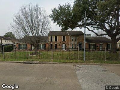
6418 Bankside Dr Unit 43 Houston, TX 77096
Brays Oaks NeighborhoodEstimated Value: $158,688 - $178,000
3
Beds
2
Baths
1,536
Sq Ft
$108/Sq Ft
Est. Value
About This Home
This home is located at 6418 Bankside Dr Unit 43, Houston, TX 77096 and is currently estimated at $165,922, approximately $108 per square foot. 6418 Bankside Dr Unit 43 is a home located in Harris County with nearby schools including Tinsley Elementary School, Fondren Middle School, and Westbury High School.
Ownership History
Date
Name
Owned For
Owner Type
Purchase Details
Closed on
Dec 23, 2002
Sold by
Preston Kimberly
Bought by
Saleem Suraiya
Current Estimated Value
Home Financials for this Owner
Home Financials are based on the most recent Mortgage that was taken out on this home.
Original Mortgage
$64,600
Interest Rate
5.89%
Purchase Details
Closed on
Sep 10, 1999
Sold by
Bogos Judith
Bought by
Preston Kimberly
Home Financials for this Owner
Home Financials are based on the most recent Mortgage that was taken out on this home.
Original Mortgage
$46,805
Interest Rate
7.9%
Mortgage Type
FHA
Create a Home Valuation Report for This Property
The Home Valuation Report is an in-depth analysis detailing your home's value as well as a comparison with similar homes in the area
Home Values in the Area
Average Home Value in this Area
Purchase History
| Date | Buyer | Sale Price | Title Company |
|---|---|---|---|
| Saleem Suraiya | -- | -- | |
| Preston Kimberly | -- | -- |
Source: Public Records
Mortgage History
| Date | Status | Borrower | Loan Amount |
|---|---|---|---|
| Open | Saleem Suraiya | $41,315 | |
| Closed | Saleem Suraiya | $64,600 | |
| Previous Owner | Preston Kimberly | $46,805 |
Source: Public Records
Tax History Compared to Growth
Tax History
| Year | Tax Paid | Tax Assessment Tax Assessment Total Assessment is a certain percentage of the fair market value that is determined by local assessors to be the total taxable value of land and additions on the property. | Land | Improvement |
|---|---|---|---|---|
| 2023 | $1,656 | $147,461 | $29,939 | $117,522 |
| 2022 | $1,638 | $127,338 | $21,385 | $105,953 |
| 2021 | $1,508 | $110,735 | $21,385 | $89,350 |
| 2020 | $1,483 | $104,571 | $21,385 | $83,186 |
| 2019 | $1,407 | $103,432 | $21,385 | $82,047 |
| 2018 | $0 | $0 | $0 | $0 |
| 2017 | $1,162 | $78,405 | $13,000 | $65,405 |
| 2016 | $1,056 | $73,045 | $11,000 | $62,045 |
| 2015 | -- | $69,520 | $11,000 | $58,520 |
| 2014 | -- | $36,219 | $11,000 | $25,219 |
Source: Public Records
Map
Nearby Homes
- 10830 Bob White Dr
- 10627 Sandpiper Dr Unit 136
- 10930 Bob White Dr
- 6330 Creekbend Dr Unit D
- 6335 Portal Dr
- 6119 Bankside Dr
- 6103 Portal Dr
- 10908 Braewick Dr
- 6219 Cheena Dr
- 6230 Cheena Dr
- 6026 Willowbend Blvd
- 0 Braewick Dr
- 7607 Bankside Dr
- 5934 Hummingbird St
- 5939 Bankside Dr
- 6214 Yarwell Dr
- 6206 Yarwell Dr
- 6235 Dumfries Dr
- 10719 Carlota Ct
- 10718 Dunlap St
- 6418 Bankside Dr Unit 43
- 6416 Bankside Dr Unit 42
- 6420 Bankside Dr Unit 44
- 6414 Bankside Dr Unit 41
- 6412 Bankside Dr Unit 56
- 6410 Bankside Dr
- 6438 Bankside Dr Unit 22
- 6440 Bankside Dr Unit 21
- 6436 Bankside Dr Unit 23
- 6436 Bankside Dr Unit 23
- 6450 Bankside Dr Unit 32
- 6448 Bankside Dr Unit 33
- 6452 Bankside Dr Unit 31
- 6434 Bankside Dr
- 6434 Bankside Dr Unit 24
- 6446 Bankside Dr Unit 34
- 6408 Bankside Dr Unit 54
- 6444 Bankside Dr Unit 35
- 6406 Bankside Dr Unit 53
- 6442 Bankside Dr Unit 36