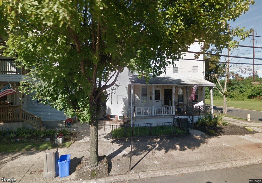
642 Bath St Bristol, PA 19007
Estimated Value: $203,152 - $259,000
--
Bed
2
Baths
1,448
Sq Ft
$166/Sq Ft
Est. Value
About This Home
This home is located at 642 Bath St, Bristol, PA 19007 and is currently estimated at $240,038, approximately $165 per square foot. 642 Bath St is a home located in Bucks County with nearby schools including Snyder-Girotti Elementary School, Bristol High School, and St. Mark Elementary School.
Ownership History
Date
Name
Owned For
Owner Type
Purchase Details
Closed on
Dec 5, 1977
Sold by
Demarchis Dominick and Demarchis Shirley
Bought by
Demarchis Richard T
Current Estimated Value
Create a Home Valuation Report for This Property
The Home Valuation Report is an in-depth analysis detailing your home's value as well as a comparison with similar homes in the area
Home Values in the Area
Average Home Value in this Area
Purchase History
| Date | Buyer | Sale Price | Title Company |
|---|---|---|---|
| Demarchis Richard T | $22,000 | -- |
Source: Public Records
Tax History Compared to Growth
Tax History
| Year | Tax Paid | Tax Assessment Tax Assessment Total Assessment is a certain percentage of the fair market value that is determined by local assessors to be the total taxable value of land and additions on the property. | Land | Improvement |
|---|---|---|---|---|
| 2025 | $2,794 | $12,000 | $2,720 | $9,280 |
| 2024 | $2,794 | $12,000 | $2,720 | $9,280 |
| 2023 | $2,770 | $12,000 | $2,720 | $9,280 |
| 2022 | $2,770 | $12,000 | $2,720 | $9,280 |
| 2021 | $2,770 | $12,000 | $2,720 | $9,280 |
| 2020 | $2,848 | $12,000 | $2,720 | $9,280 |
| 2019 | $2,836 | $12,000 | $2,720 | $9,280 |
| 2018 | $2,836 | $12,000 | $2,720 | $9,280 |
| 2017 | $2,821 | $12,000 | $2,720 | $9,280 |
| 2016 | $2,821 | $12,000 | $2,720 | $9,280 |
| 2015 | -- | $12,000 | $2,720 | $9,280 |
| 2014 | -- | $12,000 | $2,720 | $9,280 |
Source: Public Records
Map
Nearby Homes
- 114 Mifflin St
- 580 Bath St
- 566 Swain St
- 566 Linden St
- 646 Spruce St
- 224 Buckley St
- 523 Swain St
- 623 Spruce St
- 637 Spruce St
- 2 Canals End Rd Unit 305
- 327 Wood St
- 446 Pond St
- 702 Fairview Ave
- 612 Pond St
- 106 Mill St
- 804 Winder Dr
- 900 Tower Rd
- 216 Dorrance St
- 209 Dorrance St
- Burlington Plan at Silver Lake Reserve 55+