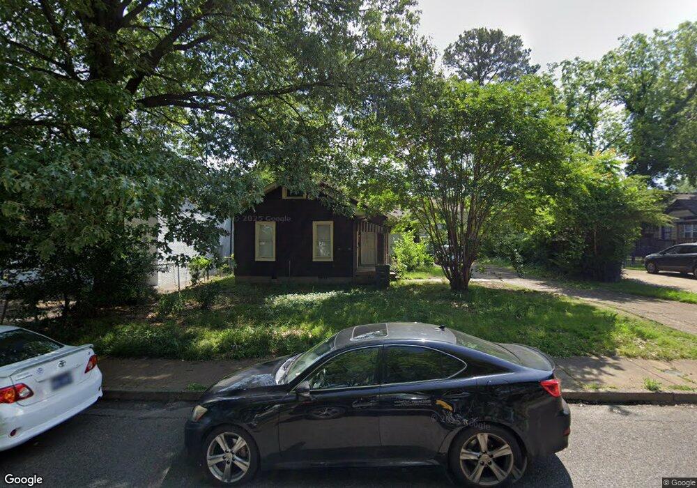
642 Brister St Memphis, TN 38111
Audubon Park NeighborhoodEstimated Value: $135,000 - $180,000
2
Beds
2
Baths
1,294
Sq Ft
$118/Sq Ft
Est. Value
About This Home
This home is located at 642 Brister St, Memphis, TN 38111 and is currently estimated at $153,288, approximately $118 per square foot. 642 Brister St is a home located in Shelby County with nearby schools including Sherwood Elementary School, Sherwood Middle, and Melrose High School.
Ownership History
Date
Name
Owned For
Owner Type
Purchase Details
Closed on
Apr 4, 2002
Sold by
Boone Matthew B and Boone Christi
Bought by
Moss Stephen
Current Estimated Value
Purchase Details
Closed on
Aug 27, 1997
Sold by
Fundo Nell H
Bought by
Boone Matthew B
Home Financials for this Owner
Home Financials are based on the most recent Mortgage that was taken out on this home.
Original Mortgage
$54,959
Interest Rate
7.43%
Mortgage Type
FHA
Create a Home Valuation Report for This Property
The Home Valuation Report is an in-depth analysis detailing your home's value as well as a comparison with similar homes in the area
Home Values in the Area
Average Home Value in this Area
Purchase History
| Date | Buyer | Sale Price | Title Company |
|---|---|---|---|
| Moss Stephen | $58,000 | -- | |
| Boone Matthew B | $55,000 | Fidelity Title & Escrow Inc |
Source: Public Records
Mortgage History
| Date | Status | Borrower | Loan Amount |
|---|---|---|---|
| Previous Owner | Boone Matthew B | $54,959 |
Source: Public Records
Tax History Compared to Growth
Tax History
| Year | Tax Paid | Tax Assessment Tax Assessment Total Assessment is a certain percentage of the fair market value that is determined by local assessors to be the total taxable value of land and additions on the property. | Land | Improvement |
|---|---|---|---|---|
| 2025 | $1,104 | $56,720 | $8,720 | $48,000 |
| 2024 | $1,104 | $32,560 | $7,000 | $25,560 |
| 2023 | $1,983 | $32,560 | $7,000 | $25,560 |
| 2022 | $1,983 | $32,560 | $7,000 | $25,560 |
| 2021 | $2,007 | $32,560 | $7,000 | $25,560 |
| 2020 | $1,803 | $24,880 | $7,000 | $17,880 |
| 2019 | $1,803 | $24,880 | $7,000 | $17,880 |
| 2018 | $1,803 | $24,880 | $7,000 | $17,880 |
| 2017 | $1,023 | $24,880 | $7,000 | $17,880 |
| 2016 | $968 | $22,160 | $0 | $0 |
| 2014 | $968 | $22,160 | $0 | $0 |
Source: Public Records
Map
Nearby Homes
- 3547 Spottswood Ave
- 3610 Kearney Ave
- 3599 Kearney Ave
- 3636 Spottswood Ave Unit 1
- 3646 Spottswood Ave Unit 10
- 3465 Spottswood Ave
- 3687 Spottswood Ave
- 3654 Douglass Ave
- 719 Echles St
- 3725 Spottswood Ave
- 540 Ellsworth St
- 749 Echles Ct
- 3739 Spottswood Ave
- 520 Ellsworth St
- 3397 Southern Ave
- 3549 Marion Ave
- 511 Ellsworth St
- 3770 Kearney Ave
- 3779 Spottswood Ave
- 505 S Prescott St
- 3596 Spottswood Ave
- 646 Brister St
- 3610 Spottswood
- 3580 Spottswood Ave
- 3652 Other
- 3576 Spottswood Ave
- 3602- 3616 Spottswood
- 635 Brister St
- 631 Patterson St Unit 7
- 631 Patterson St Unit 4
- 631 Patterson St
- 631 Patterson St Unit 5
- 631 Patterson St
- 631 Patterson St Unit 2
- 631 Patterson St
- 631 Patterson St Unit 8
- 3570 Spottswood Ave
- 3566 Spottswood Ave
- 635 Patterson St Unit 8
- 635 Patterson St Unit 6