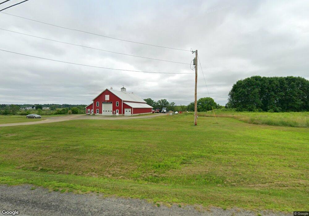
642 Main St Pittsfield, ME 04967
Estimated Value: $186,000 - $303,000
1
Bed
1
Bath
2,296
Sq Ft
$104/Sq Ft
Est. Value
About This Home
This home is located at 642 Main St, Pittsfield, ME 04967 and is currently estimated at $238,576, approximately $103 per square foot. 642 Main St is a home with nearby schools including Manson Park School, Vickery School, and Sad #53 Alternative Education.
Ownership History
Date
Name
Owned For
Owner Type
Purchase Details
Closed on
Aug 27, 2021
Sold by
Littlefield Zack M
Bought by
Day Meaghan A
Current Estimated Value
Home Financials for this Owner
Home Financials are based on the most recent Mortgage that was taken out on this home.
Original Mortgage
$127,299
Outstanding Balance
$115,833
Interest Rate
2.8%
Mortgage Type
Purchase Money Mortgage
Estimated Equity
$122,743
Purchase Details
Closed on
Jun 23, 2020
Sold by
Ring Shannon L
Bought by
Littlefield Zack M
Home Financials for this Owner
Home Financials are based on the most recent Mortgage that was taken out on this home.
Original Mortgage
$109,250
Interest Rate
4.63%
Mortgage Type
New Conventional
Purchase Details
Closed on
Mar 31, 2015
Sold by
Gillis Jason W
Bought by
Ring Shannon L
Home Financials for this Owner
Home Financials are based on the most recent Mortgage that was taken out on this home.
Original Mortgage
$99,000
Interest Rate
3.68%
Mortgage Type
Unknown
Create a Home Valuation Report for This Property
The Home Valuation Report is an in-depth analysis detailing your home's value as well as a comparison with similar homes in the area
Home Values in the Area
Average Home Value in this Area
Purchase History
| Date | Buyer | Sale Price | Title Company |
|---|---|---|---|
| Day Meaghan A | -- | None Available | |
| Littlefield Zack M | -- | None Available | |
| Ring Shannon L | -- | -- |
Source: Public Records
Mortgage History
| Date | Status | Borrower | Loan Amount |
|---|---|---|---|
| Open | Day Meaghan A | $127,299 | |
| Previous Owner | Littlefield Zack M | $109,250 | |
| Previous Owner | Ring Shannon L | $99,000 |
Source: Public Records
Tax History Compared to Growth
Tax History
| Year | Tax Paid | Tax Assessment Tax Assessment Total Assessment is a certain percentage of the fair market value that is determined by local assessors to be the total taxable value of land and additions on the property. | Land | Improvement |
|---|---|---|---|---|
| 2024 | $2,899 | $137,700 | $20,400 | $117,300 |
| 2023 | $2,680 | $108,300 | $16,100 | $92,200 |
| 2022 | $2,643 | $108,300 | $16,100 | $92,200 |
| 2021 | $2,502 | $108,300 | $16,100 | $92,200 |
| 2020 | $2,534 | $108,300 | $16,100 | $92,200 |
| 2019 | $2,377 | $108,300 | $16,100 | $92,200 |
| 2018 | $2,274 | $108,300 | $16,100 | $92,200 |
| 2017 | $2,242 | $108,300 | $16,100 | $92,200 |
| 2016 | $2,188 | $108,300 | $16,100 | $92,200 |
| 2015 | $2,090 | $108,300 | $16,100 | $92,200 |
| 2014 | $2,076 | $108,700 | $16,100 | $92,600 |
Source: Public Records
Map
Nearby Homes
- Lot #049 Main St
- 61 Industrial Park St
- 113 D St
- 18 Crawford Rd
- 164 Nichols St
- 133 Manson St
- 0 Birchwood Terrace
- 185 Main St
- 060 West St
- 0 Hartland
- 124 South St
- 173 Somerset Ave
- 140 Hartland Ave
- 005 School St
- 410 Peltoma Ave
- 616 Peltoma Ave
- 306 Hamilton Terrace
- 191 Bates St
- 107 Cottage St
- 292 Lincoln St