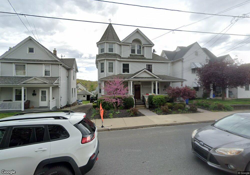
642 Main St Scranton, PA 18519
Estimated Value: $236,000 - $326,000
Studio
--
Bath
3,850
Sq Ft
$70/Sq Ft
Est. Value
About This Home
This home is located at 642 Main St, Scranton, PA 18519 and is currently estimated at $269,196, approximately $69 per square foot. 642 Main St is a home located in Lackawanna County with nearby schools including The Geneva School, St. Paul St. Clare School St. Clare Campus, and Nativity Miguel School of Scranton.
Ownership History
Date
Name
Owned For
Owner Type
Purchase Details
Closed on
Mar 21, 2018
Sold by
Moyles John A and Moyles Helene B
Bought by
Carbe Christian J and Floege Dawn Elaine
Current Estimated Value
Home Financials for this Owner
Home Financials are based on the most recent Mortgage that was taken out on this home.
Original Mortgage
$151,210
Outstanding Balance
$130,303
Interest Rate
4.62%
Mortgage Type
FHA
Estimated Equity
$138,893
Purchase Details
Closed on
Dec 27, 2006
Sold by
Verrastro Jason J and Gallagher Melaine L
Bought by
Moyles John A and Moyles Helene B
Home Financials for this Owner
Home Financials are based on the most recent Mortgage that was taken out on this home.
Original Mortgage
$114,000
Interest Rate
6.29%
Mortgage Type
New Conventional
Create a Home Valuation Report for This Property
The Home Valuation Report is an in-depth analysis detailing your home's value as well as a comparison with similar homes in the area
Home Values in the Area
Average Home Value in this Area
Purchase History
| Date | Buyer | Sale Price | Title Company |
|---|---|---|---|
| Carbe Christian J | $154,000 | -- | |
| Moyles John A | $142,500 | None Available |
Source: Public Records
Mortgage History
| Date | Status | Borrower | Loan Amount |
|---|---|---|---|
| Open | Carbe Christian J | $151,210 | |
| Previous Owner | Moyles John A | $114,000 |
Source: Public Records
Tax History
| Year | Tax Paid | Tax Assessment Tax Assessment Total Assessment is a certain percentage of the fair market value that is determined by local assessors to be the total taxable value of land and additions on the property. | Land | Improvement |
|---|---|---|---|---|
| 2025 | $2,880 | $11,000 | $0 | $11,000 |
| 2024 | $2,406 | $11,000 | $0 | $11,000 |
| 2023 | $2,406 | $11,000 | $0 | $11,000 |
| 2022 | $2,345 | $11,000 | $0 | $11,000 |
| 2021 | $2,345 | $11,000 | $0 | $11,000 |
| 2020 | $2,312 | $11,000 | $0 | $11,000 |
| 2019 | $2,145 | $11,000 | $0 | $11,000 |
| 2018 | $2,106 | $11,000 | $0 | $11,000 |
| 2017 | $2,106 | $11,000 | $0 | $11,000 |
| 2016 | $1,180 | $11,000 | $0 | $0 |
| 2015 | -- | $11,000 | $0 | $0 |
| 2014 | -- | $11,000 | $0 | $0 |
Source: Public Records
Map
Nearby Homes
- 712 714 Carmalt St
- 525 Dewey St
- 805 Lincoln St
- 271 Poplar St
- 911 Lincoln St
- 231 Poplar St
- 949 Lincoln St Unit 951
- 0 Along Lacka River
- 24 Emerald Dr
- 1013 Grant Ct
- 1020 Lincoln St
- 0 Woodlawn St Unit GSBSC254193
- 811 Hill St
- 1061 Carmalt St
- 516 Dundaff St
- 1136 Frieda St
- 1148 Frieda St
- 519 Clark St
- 753 Dunmore St
- 1000 S Valley Ave
Your Personal Tour Guide
Ask me questions while you tour the home.