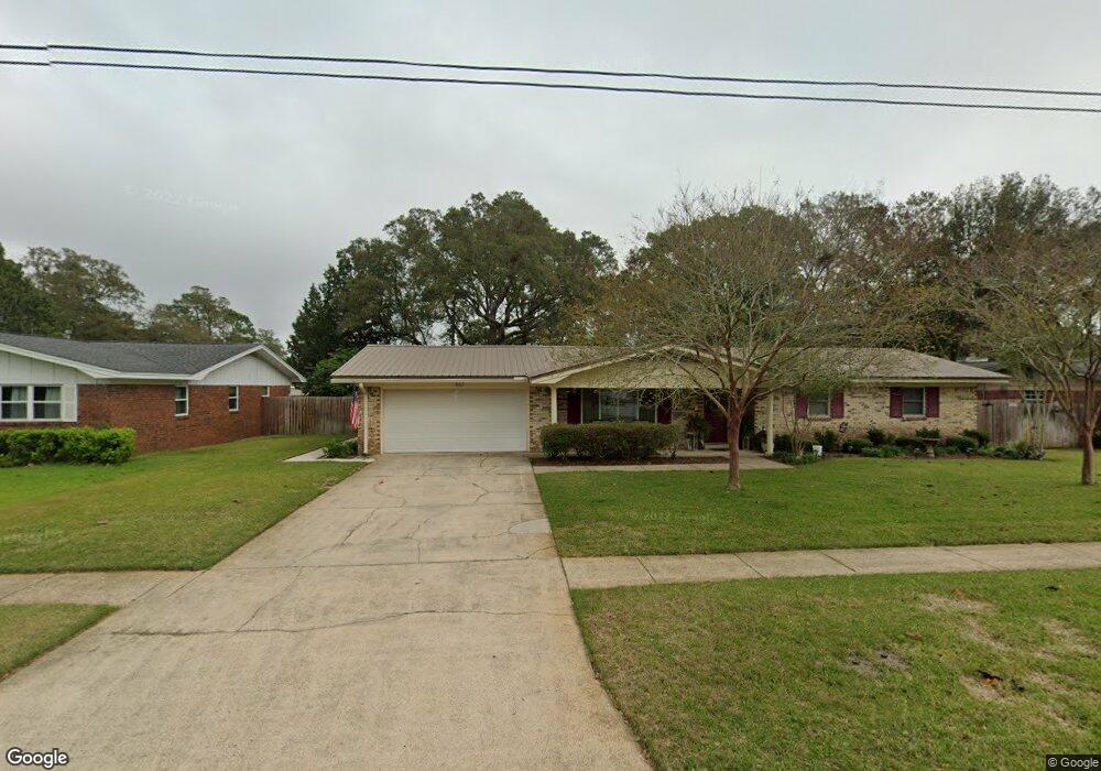
642 Powell Dr NE Fort Walton Beach, FL 32547
Estimated Value: $386,350 - $442,000
3
Beds
2
Baths
1,700
Sq Ft
$241/Sq Ft
Est. Value
About This Home
This home is located at 642 Powell Dr NE, Fort Walton Beach, FL 32547 and is currently estimated at $410,338, approximately $241 per square foot. 642 Powell Dr NE is a home located in Okaloosa County with nearby schools including Kenwood Elementary School, W.C. Pryor Middle School, and Choctawhatchee Senior High School.
Ownership History
Date
Name
Owned For
Owner Type
Purchase Details
Closed on
Apr 23, 2024
Sold by
Fusco Dana G and Fusco Jan M
Bought by
Fusco Dana G and Fusco Jan M
Current Estimated Value
Purchase Details
Closed on
Jun 27, 2001
Sold by
London James E and London Doris M
Bought by
Fusco Dana G and Fusco Jan M
Home Financials for this Owner
Home Financials are based on the most recent Mortgage that was taken out on this home.
Original Mortgage
$150,960
Interest Rate
7.14%
Mortgage Type
VA
Create a Home Valuation Report for This Property
The Home Valuation Report is an in-depth analysis detailing your home's value as well as a comparison with similar homes in the area
Home Values in the Area
Average Home Value in this Area
Purchase History
| Date | Buyer | Sale Price | Title Company |
|---|---|---|---|
| Fusco Dana G | $100 | None Listed On Document | |
| Fusco Dana G | $148,000 | Stewart Title Of Nw Fl Inc |
Source: Public Records
Mortgage History
| Date | Status | Borrower | Loan Amount |
|---|---|---|---|
| Previous Owner | Fusco Dana G | $150,960 |
Source: Public Records
Tax History Compared to Growth
Tax History
| Year | Tax Paid | Tax Assessment Tax Assessment Total Assessment is a certain percentage of the fair market value that is determined by local assessors to be the total taxable value of land and additions on the property. | Land | Improvement |
|---|---|---|---|---|
| 2024 | $1,643 | $162,771 | -- | -- |
| 2023 | $1,643 | $158,030 | $0 | $0 |
| 2022 | $1,718 | $153,427 | $0 | $0 |
| 2021 | $1,731 | $148,958 | $0 | $0 |
| 2020 | $1,706 | $146,901 | $0 | $0 |
| 2019 | $1,625 | $143,598 | $0 | $0 |
| 2018 | $1,613 | $140,921 | $0 | $0 |
| 2017 | $1,593 | $138,023 | $0 | $0 |
| 2016 | $1,548 | $135,184 | $0 | $0 |
| 2015 | $1,573 | $134,244 | $0 | $0 |
| 2014 | $1,573 | $133,179 | $0 | $0 |
Source: Public Records
Map
Nearby Homes
- 629 Merioneth Dr NE
- 631 Country Club Ave NE
- 16 Wedgewood Ln NE
- 614 Merioneth Dr NE
- 603 Golf Course Dr NE
- 604 Powell Dr NE
- 60 Linwood Rd NW
- 606 Merioneth Dr NE
- 603 Merioneth Dr NE
- 8 Carlyle Ct NE
- xx NW Mooney Rd
- 229 Mooney Rd NE
- 123 Star Dr
- 20 Linwood Rd NW
- 111 Troy Cir
- 528 Cheshire Ave NW
- 526 Cheshire Ave NW
- 106 Star Dr Unit A,B, & C
- 2037 Lewis Turner Blvd Unit B
- 118 Pamela Ann Dr
- 644 Powell Dr NE
- 640 Powell Dr NE
- 638 Powell Dr NE
- 646 Powell Dr NE
- 641 Powell Dr NE
- 639 Powell Dr NE
- 643 Powell Dr NE
- 637 Powell Dr NE
- 648 Powell Dr NE
- 636 Powell Dr NE
- 645 Powell Dr NE
- 642 Fairway Ave NE
- 11 Eagle St NE
- 644 Fairway Ave NE
- 640 Fairway Ave NE
- 647 Powell Dr NE
- 650 Powell Dr NE
- 0 Powell Dr NE
- 646 Fairway Ave NE
- 638 Fairway Ave NE