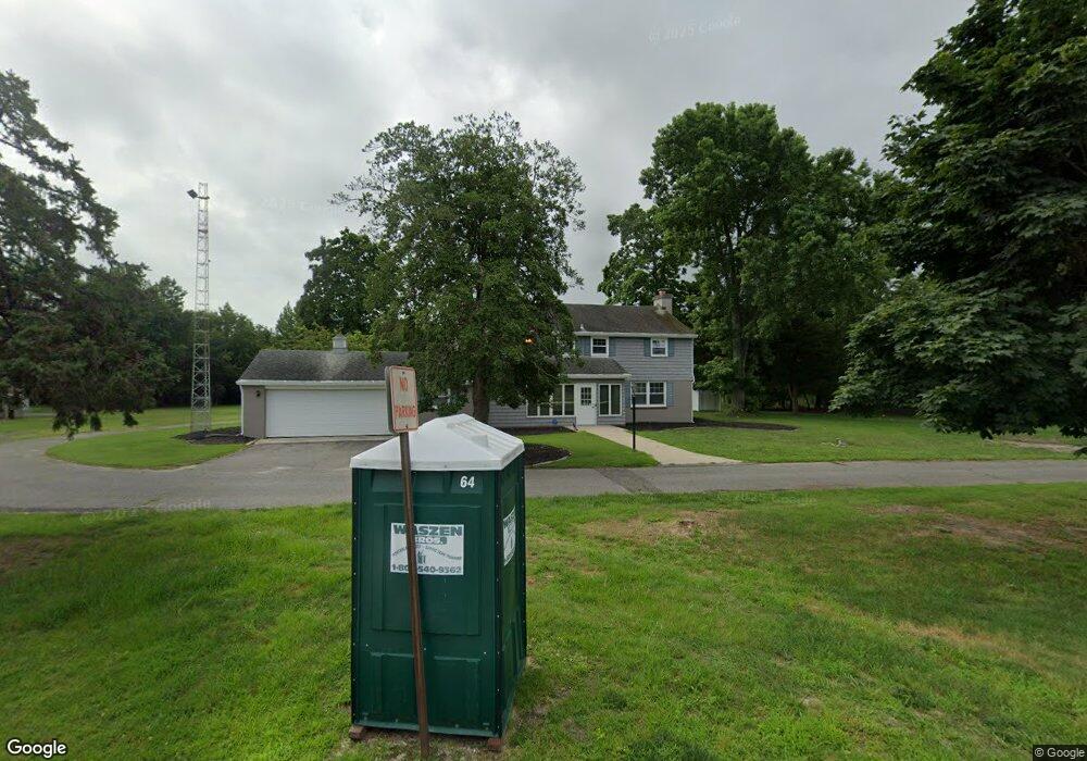
642 S New York Rd Galloway, NJ 08205
Estimated Value: $255,952 - $384,000
--
Bed
--
Bath
973
Sq Ft
$307/Sq Ft
Est. Value
About This Home
This home is located at 642 S New York Rd, Galloway, NJ 08205 and is currently estimated at $298,238, approximately $306 per square foot. 642 S New York Rd is a home located in Atlantic County with nearby schools including Oakcrest High School, Cedar Creek High School, and Champion Baptist Academy.
Ownership History
Date
Name
Owned For
Owner Type
Purchase Details
Closed on
Sep 7, 2007
Sold by
Laughlin James R
Bought by
Mcgee Grace C
Current Estimated Value
Home Financials for this Owner
Home Financials are based on the most recent Mortgage that was taken out on this home.
Original Mortgage
$130,000
Outstanding Balance
$83,021
Interest Rate
6.74%
Mortgage Type
Purchase Money Mortgage
Estimated Equity
$215,217
Purchase Details
Closed on
Mar 16, 2000
Sold by
Carter Marion Eaton
Bought by
Laughlin James R
Home Financials for this Owner
Home Financials are based on the most recent Mortgage that was taken out on this home.
Original Mortgage
$63,000
Interest Rate
8.31%
Mortgage Type
Purchase Money Mortgage
Create a Home Valuation Report for This Property
The Home Valuation Report is an in-depth analysis detailing your home's value as well as a comparison with similar homes in the area
Home Values in the Area
Average Home Value in this Area
Purchase History
| Date | Buyer | Sale Price | Title Company |
|---|---|---|---|
| Mcgee Grace C | $225,000 | The Title Company Of Jersey | |
| Laughlin James R | $70,000 | The Title Company |
Source: Public Records
Mortgage History
| Date | Status | Borrower | Loan Amount |
|---|---|---|---|
| Open | Mcgee Grace C | $130,000 | |
| Previous Owner | Laughlin James R | $63,000 |
Source: Public Records
Tax History Compared to Growth
Tax History
| Year | Tax Paid | Tax Assessment Tax Assessment Total Assessment is a certain percentage of the fair market value that is determined by local assessors to be the total taxable value of land and additions on the property. | Land | Improvement |
|---|---|---|---|---|
| 2025 | $4,733 | $141,800 | $75,700 | $66,100 |
| 2024 | $4,733 | $141,800 | $75,700 | $66,100 |
| 2023 | $4,553 | $141,800 | $75,700 | $66,100 |
| 2022 | $4,553 | $141,800 | $75,700 | $66,100 |
| 2021 | $4,462 | $141,800 | $75,700 | $66,100 |
| 2020 | $4,392 | $141,800 | $75,700 | $66,100 |
| 2019 | $4,311 | $141,800 | $75,700 | $66,100 |
| 2018 | $4,372 | $141,800 | $75,700 | $66,100 |
| 2017 | $4,372 | $141,800 | $75,700 | $66,100 |
| 2016 | $4,333 | $141,800 | $75,700 | $66,100 |
| 2015 | $4,314 | $141,800 | $75,700 | $66,100 |
| 2014 | $4,170 | $141,800 | $75,700 | $66,100 |
Source: Public Records
Map
Nearby Homes
- 743 N Shore Rd
- 4 E Curran Dr
- 505 Sooy Ln
- 621 S New York Rd
- 625 N Shore Rd
- 613 S New York Rd
- 506 Lazy Ln
- 117 E Wyoming Ave
- 210 Coolidge Ave
- 0 E Dickinson Ave
- 00 California Ave
- 243 Pennsylvania Ave
- 506 E Forestbrook Dr
- 244 E Wyoming Ave
- 539 E Pennsylvania Ave
- 90 E Woodland Ave Unit E90
- 47 E Woodland Ave Unit C47
- 710 E Chip Shot Ln
- 709 E Chip Shot Ln
- 130 Crestview Ave
- 26 N Curran Dr
- 635 S New York Rd
- 748 N Shore Rd
- 9 W Curran Dr
- 22 N Curran Dr
- 724 N Shore Rd
- 743 N Shore
- 637 S New York Rd
- 20 N Curran Dr
- 720 N Shore Rd
- 11 W Curran Dr
- 735 N Shore Rd
- 7 W Curran Dr
- 712 N Shore Rd
- 729 N Shore Rd
- 18 N Curran Dr
- 13 N Curran Dr
- 708 N Shore Rd
- 629 S New York Rd
- 16 N Curran Dr