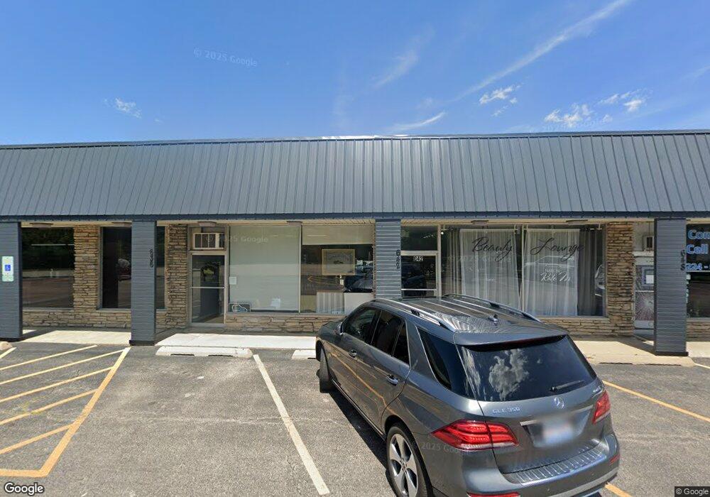
642 S Northwest Hwy Barrington, IL 60010
South Barrington Neighborhood
--
Bed
--
Bath
--
Sq Ft
9,191
Sq Ft Lot
About This Home
This home is located at 642 S Northwest Hwy, Barrington, IL 60010. 642 S Northwest Hwy is a home located in Cook County with nearby schools including Arnett C. Lines Elementary School, Barrington Middle School Station Campus, and Barrington High School.
Ownership History
Date
Name
Owned For
Owner Type
Purchase Details
Closed on
Oct 15, 2021
Sold by
Dall Family Llc
Bought by
Lucky Stone Shopping Center Llc
Home Financials for this Owner
Home Financials are based on the most recent Mortgage that was taken out on this home.
Original Mortgage
$250,000
Interest Rate
3.14%
Mortgage Type
Commercial
Purchase Details
Closed on
Jan 5, 2005
Sold by
Chicago Title Land Trust Co
Bought by
Dall Family Llc
Create a Home Valuation Report for This Property
The Home Valuation Report is an in-depth analysis detailing your home's value as well as a comparison with similar homes in the area
Home Values in the Area
Average Home Value in this Area
Purchase History
| Date | Buyer | Sale Price | Title Company |
|---|---|---|---|
| Lucky Stone Shopping Center Llc | $800,000 | Fidelity National Title | |
| Dall Family Llc | -- | -- |
Source: Public Records
Mortgage History
| Date | Status | Borrower | Loan Amount |
|---|---|---|---|
| Previous Owner | Lucky Stone Shopping Center Llc | $250,000 |
Source: Public Records
Tax History Compared to Growth
Tax History
| Year | Tax Paid | Tax Assessment Tax Assessment Total Assessment is a certain percentage of the fair market value that is determined by local assessors to be the total taxable value of land and additions on the property. | Land | Improvement |
|---|---|---|---|---|
| 2024 | $11,547 | $51,721 | $41,310 | $10,411 |
| 2023 | $11,283 | $51,721 | $41,310 | $10,411 |
| 2022 | $11,283 | $51,721 | $41,310 | $10,411 |
| 2021 | $11,853 | $48,064 | $41,310 | $6,754 |
| 2020 | $11,655 | $48,968 | $41,310 | $7,658 |
| 2019 | $11,470 | $54,512 | $41,310 | $13,202 |
| 2018 | $9,923 | $45,321 | $39,015 | $6,306 |
| 2017 | $9,721 | $45,321 | $39,015 | $6,306 |
| 2016 | $9,253 | $45,321 | $39,015 | $6,306 |
| 2015 | $11,639 | $52,684 | $28,113 | $24,571 |
| 2014 | $11,511 | $52,684 | $28,113 | $24,571 |
| 2013 | $11,021 | $52,684 | $28,113 | $24,571 |
Source: Public Records
Map
Nearby Homes
- 319 S Glendale Ave Unit 204
- 721 Concord Ln
- 336 Eastern Ave Unit C4
- 1010 Oakland Dr
- 345 E Russell St
- 534 E Main St
- 733 Prairie Ave
- 755 Division St
- 302 E Hillside Ave
- 117 Beverly Rd
- 640 S Grove Ave
- 216 Beverly Rd
- 650 S Grove Ave
- 248 Beverly Rd
- 432 Whitney Dr
- 175 Hilltop Ave
- 22600 Illinois Route 59
- 123 Monument Ave
- 910 Division St
- 129 Monument Ave
- 636 S Northwest Hwy
- 630 S Northwest Hwy
- 234 Kainer Ave
- 233 George St
- 238 George St
- 231 George St
- 700-730 S Northwest Hwy
- 700 S Northwest Hwy
- 238 Kainer Ave
- 520 S Northwest Hwy
- 225 George St
- 303 Kainer Ave
- 232 Kainer Ave
- 722 S Northwest Hwy
- 231 Kainer Ave
- 219 George St
- 227 Kainer Ave
- 228 Kainer Ave
- 236 George St Unit A
- 236 George St Unit C