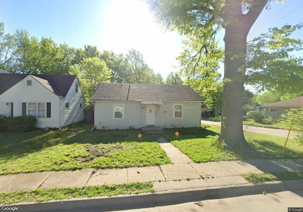
642 SW Kenova Rd Topeka, KS 66606
Central Topeka NeighborhoodEstimated Value: $91,732 - $118,000
2
Beds
1
Bath
980
Sq Ft
$106/Sq Ft
Est. Value
About This Home
This home is located at 642 SW Kenova Rd, Topeka, KS 66606 and is currently estimated at $104,183, approximately $106 per square foot. 642 SW Kenova Rd is a home located in Shawnee County with nearby schools including Martin Park Elementary School, Lowman Hill Elementary School, and Landon Middle School.
Ownership History
Date
Name
Owned For
Owner Type
Purchase Details
Closed on
Oct 12, 2017
Sold by
Kruger & Associattes Inc
Bought by
Rms Properties Of Topeka Llc
Current Estimated Value
Purchase Details
Closed on
May 26, 2005
Sold by
Mckinley Carl R
Bought by
Mckinley Carl R
Home Financials for this Owner
Home Financials are based on the most recent Mortgage that was taken out on this home.
Original Mortgage
$27,600
Interest Rate
5.79%
Mortgage Type
Future Advance Clause Open End Mortgage
Create a Home Valuation Report for This Property
The Home Valuation Report is an in-depth analysis detailing your home's value as well as a comparison with similar homes in the area
Home Values in the Area
Average Home Value in this Area
Purchase History
| Date | Buyer | Sale Price | Title Company |
|---|---|---|---|
| Rms Properties Of Topeka Llc | -- | None Available | |
| Mckinley Carl R | -- | Lawyers Title Of Topeka Inc |
Source: Public Records
Mortgage History
| Date | Status | Borrower | Loan Amount |
|---|---|---|---|
| Previous Owner | Mckinley Carl R | $27,600 |
Source: Public Records
Tax History Compared to Growth
Tax History
| Year | Tax Paid | Tax Assessment Tax Assessment Total Assessment is a certain percentage of the fair market value that is determined by local assessors to be the total taxable value of land and additions on the property. | Land | Improvement |
|---|---|---|---|---|
| 2025 | $646 | $5,163 | -- | -- |
| 2023 | $646 | $4,684 | $0 | $0 |
| 2022 | $548 | $4,074 | $0 | $0 |
| 2021 | $521 | $3,542 | $0 | $0 |
| 2020 | $515 | $3,542 | $0 | $0 |
| 2019 | $518 | $3,542 | $0 | $0 |
| 2018 | $502 | $3,439 | $0 | $0 |
| 2017 | $503 | $3,439 | $0 | $0 |
| 2014 | $682 | $4,515 | $0 | $0 |
Source: Public Records
Map
Nearby Homes
- 618 SW Randolph Ave
- 626 SW Medford Ave
- 614 SW Webster Ave
- 3005 SW 6th Ave Unit 6th
- 804 SW High Ave
- 2330 SW Hazelton Ct
- 923 SW High Ave
- 2235 SW Kenilworth Ct
- 829 SW Oakley Ave
- 701 SW Watson Ave
- 2204 SW Kensington Ct
- 801 SW Lindenwood Ave
- 208 SW MacVicar Ave
- 1022 SW MacVicar Ave
- 808 SW Lindenwood Ave
- 734 SW Lindenwood Ave
- 719 SW Jewell Ave
- 200 SW Orchard St
- 2012 SW 10th Ave
- 912 SW Frazier Ave
- 640 SW Kenova Rd
- 638 SW Kenova Rd
- 701 SW Medford Ave
- 631 SW Medford Ave
- 629 SW Medford Ave
- 634 SW Kenova Rd
- 644 SW Randolph Ave
- 640 SW Randolph Ave
- 700 SW Medford Ave
- 700 SW Randolph Ave
- 636 SW Randolph Ave
- 709 SW Medford Ave
- 625 SW Medford Ave
- 632 SW Randolph Ave
- 708 SW Medford Ave
- 623 SW Medford Ave
- 715 SW Medford Ave
- 708 SW Randolph Ave
- 622 SW Kenova Rd
- 620 SW Randolph Ave