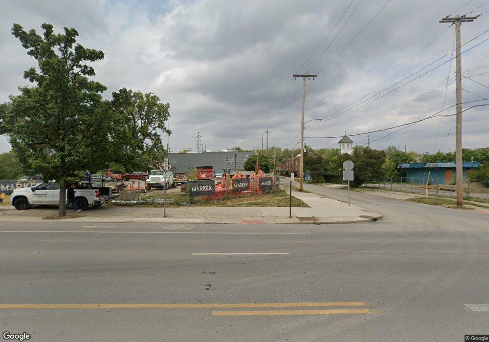
642 W Broad St Columbus, OH 43215
East Franklinton Neighborhood
Studio
--
Bath
8,200
Sq Ft
0.62
Acres
About This Home
This home is located at 642 W Broad St, Columbus, OH 43215. 642 W Broad St is a home located in Franklin County with nearby schools including Starling PK-8, Sullivant Elementary School, and West High School.
Ownership History
Date
Name
Owned For
Owner Type
Purchase Details
Closed on
Jul 13, 2020
Sold by
642 West Broad Llc
Bought by
Kcg Franklinton Iii Llc
Purchase Details
Closed on
Nov 14, 2018
Sold by
League Of Ohio Sportsmen Foundation
Bought by
642 West Broad Llc
Home Financials for this Owner
Home Financials are based on the most recent Mortgage that was taken out on this home.
Original Mortgage
$100,000
Interest Rate
4.7%
Mortgage Type
Commercial
Purchase Details
Closed on
Mar 29, 2003
Sold by
Horn James C and Horn Karen L
Bought by
Ohio Wildlife Federation
Home Financials for this Owner
Home Financials are based on the most recent Mortgage that was taken out on this home.
Original Mortgage
$275,000
Interest Rate
5.76%
Mortgage Type
Commercial
Create a Home Valuation Report for This Property
The Home Valuation Report is an in-depth analysis detailing your home's value as well as a comparison with similar homes in the area
Home Values in the Area
Average Home Value in this Area
Purchase History
| Date | Buyer | Sale Price | Title Company |
|---|---|---|---|
| Kcg Franklinton Iii Llc | $890,000 | Elite Land Title | |
| 642 West Broad Llc | $625,000 | Elite Land Title | |
| Ohio Wildlife Federation | $350,000 | Chicago Title |
Source: Public Records
Mortgage History
| Date | Status | Borrower | Loan Amount |
|---|---|---|---|
| Previous Owner | 642 West Broad Llc | $100,000 | |
| Previous Owner | Ohio Wildlife Federation | $275,000 |
Source: Public Records
Tax History
| Year | Tax Paid | Tax Assessment Tax Assessment Total Assessment is a certain percentage of the fair market value that is determined by local assessors to be the total taxable value of land and additions on the property. | Land | Improvement |
|---|---|---|---|---|
| 2025 | $6,033 | $76,490 | $74,980 | $1,510 |
| 2024 | $6,033 | $76,490 | $74,980 | $1,510 |
| 2023 | $6,111 | $76,475 | $74,970 | $1,505 |
| 2022 | $23,251 | $310,040 | $308,530 | $1,510 |
| 2021 | $3,905 | $45,010 | $45,010 | $0 |
| 2020 | $8,798 | $110,740 | $11,060 | $99,680 |
| 2019 | $10,233 | $124,250 | $11,690 | $112,560 |
| 2018 | $1,896 | $124,260 | $11,690 | $112,570 |
| 2017 | $1,971 | $124,260 | $11,690 | $112,570 |
| 2016 | $2,026 | $95,240 | $11,690 | $83,550 |
| 2015 | $1,881 | $95,240 | $11,690 | $83,550 |
| 2014 | $1,880 | $95,240 | $11,690 | $83,550 |
| 2013 | $932 | $23,275 | $0 | $23,275 |
Source: Public Records
Map
Nearby Homes
- 536 W Town St
- 538 W Town St
- 45 S Hartford Ave
- 45 N Hartford Ave
- 49 S Hartford Ave
- 33 N Hartford Ave
- The Summit Plan at Homes on Hartford - Single Family
- 642 Sullivant Ave Unit 642
- 498 W Town St
- 72 Avondale Ave
- 753 1/2 Sullivant Ave
- 69 Rodgers Ave
- 73 Rodgers Ave
- 757 Bellows Ave
- 186 Avondale Ave Unit 188
- 1020-1026 Cable Ave
- 61 Dakota Ave
- 300 W Spring St Unit 404
- 300 W Spring St Unit 1302
- 300 W Spring St Unit 303
Your Personal Tour Guide
Ask me questions while you tour the home.