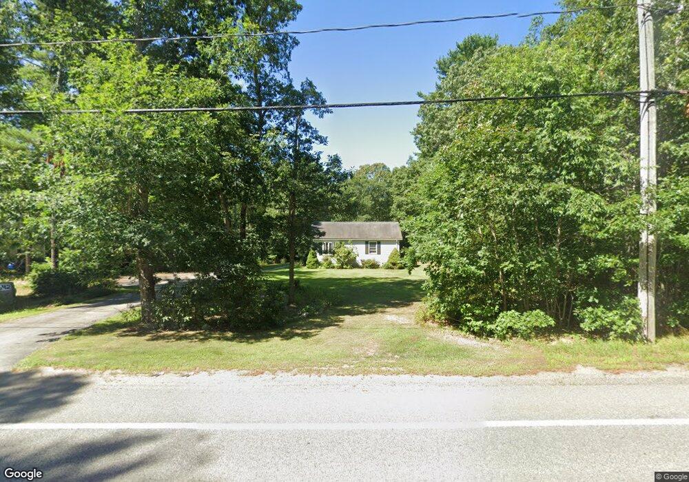
642 Wareham St Middleboro, MA 02346
Estimated Value: $508,000 - $591,604
2
Beds
1
Bath
1,432
Sq Ft
$390/Sq Ft
Est. Value
About This Home
This home is located at 642 Wareham St, Middleboro, MA 02346 and is currently estimated at $557,901, approximately $389 per square foot. 642 Wareham St is a home located in Plymouth County with nearby schools including Mary K. Goode Elementary School.
Ownership History
Date
Name
Owned For
Owner Type
Purchase Details
Closed on
Oct 30, 1995
Sold by
Zemp Darin T and Zemp Leigh A
Bought by
Tocchio Laurence R
Current Estimated Value
Purchase Details
Closed on
May 19, 1995
Sold by
Besse Jeffrey J and Besse Nancy F
Bought by
Moquin Harold B
Home Financials for this Owner
Home Financials are based on the most recent Mortgage that was taken out on this home.
Original Mortgage
$85,400
Interest Rate
8.34%
Mortgage Type
Purchase Money Mortgage
Create a Home Valuation Report for This Property
The Home Valuation Report is an in-depth analysis detailing your home's value as well as a comparison with similar homes in the area
Home Values in the Area
Average Home Value in this Area
Purchase History
| Date | Buyer | Sale Price | Title Company |
|---|---|---|---|
| Tocchio Laurence R | $125,000 | -- | |
| Moquin Harold B | $89,900 | -- |
Source: Public Records
Mortgage History
| Date | Status | Borrower | Loan Amount |
|---|---|---|---|
| Previous Owner | Moquin Harold B | $85,400 |
Source: Public Records
Tax History Compared to Growth
Tax History
| Year | Tax Paid | Tax Assessment Tax Assessment Total Assessment is a certain percentage of the fair market value that is determined by local assessors to be the total taxable value of land and additions on the property. | Land | Improvement |
|---|---|---|---|---|
| 2025 | $6,403 | $477,500 | $174,900 | $302,600 |
| 2024 | $6,065 | $447,900 | $166,900 | $281,000 |
| 2023 | $5,784 | $406,200 | $166,900 | $239,300 |
| 2022 | $5,186 | $337,200 | $145,300 | $191,900 |
| 2021 | $5,076 | $312,000 | $127,700 | $184,300 |
| 2020 | $4,651 | $292,900 | $127,700 | $165,200 |
| 2019 | $4,376 | $282,700 | $127,700 | $155,000 |
| 2018 | $3,934 | $252,200 | $121,500 | $130,700 |
| 2017 | $3,860 | $244,800 | $116,900 | $127,900 |
| 2016 | $3,918 | $246,100 | $110,900 | $135,200 |
| 2015 | $3,595 | $227,800 | $108,500 | $119,300 |
Source: Public Records
Map
Nearby Homes
- 664 Wareham St
- 663 Wareham St Unit 8
- 571 Wareham St
- 31 Sarah Reed Hunt Way
- 46 Jake's Path Unit 46
- 48 Jake's Path Unit 48
- 3 Sarah Reed Hunt Way
- 558 Wareham St
- 2 Cranberry Cir
- 29 Beach St
- 95 Beach St
- 30 Ridge Dr
- 38 John Perkins Way
- 28 Wareham St
- 421 County Rd
- 150 Ryder Rd
- 50 N Carver Rd
- 7 Forbes Rd
- 47 Weaver St
- 709 Walnut Plain Rd
- 644 Wareham St
- 637 Wareham St
- 640 Wareham St
- 639 Wareham St
- 646 Wareham St
- 635 Wareham St
- 638 Wareham St
- 633 Wareham St
- 641 Wareham St
- 631 Wareham St
- 636 Wareham St
- 648 Wareham St
- 629 Wareham St
- 647 Wareham St
- 645 Wareham St
- 649 Wareham St
- 634 Wareham St
- 632 Wareham St Unit 1
- 651 Wareham St
- 654 Wareham St