6420 SW Copley Rd Powell Butte, OR 97753
Estimated Value: $861,228
3
Beds
3
Baths
2,280
Sq Ft
$378/Sq Ft
Est. Value
About This Home
This home is located at 6420 SW Copley Rd, Powell Butte, OR 97753 and is currently estimated at $861,228, approximately $377 per square foot. 6420 SW Copley Rd is a home located in Crook County with nearby schools including Crooked River Elementary School, Crook County Middle School, and Crook County High School.
Ownership History
Date
Name
Owned For
Owner Type
Purchase Details
Closed on
Aug 1, 2005
Sold by
Depolo Theodore C and Depolo Marion S
Bought by
Dulaney Margaret H and Dulaney John E
Current Estimated Value
Home Financials for this Owner
Home Financials are based on the most recent Mortgage that was taken out on this home.
Original Mortgage
$300,000
Outstanding Balance
$154,597
Interest Rate
5.56%
Mortgage Type
New Conventional
Estimated Equity
$706,631
Create a Home Valuation Report for This Property
The Home Valuation Report is an in-depth analysis detailing your home's value as well as a comparison with similar homes in the area
Home Values in the Area
Average Home Value in this Area
Purchase History
| Date | Buyer | Sale Price | Title Company |
|---|---|---|---|
| Dulaney Margaret H | $825,000 | Amerititle |
Source: Public Records
Mortgage History
| Date | Status | Borrower | Loan Amount |
|---|---|---|---|
| Open | Dulaney Margaret H | $300,000 |
Source: Public Records
Tax History Compared to Growth
Tax History
| Year | Tax Paid | Tax Assessment Tax Assessment Total Assessment is a certain percentage of the fair market value that is determined by local assessors to be the total taxable value of land and additions on the property. | Land | Improvement |
|---|---|---|---|---|
| 2025 | $3,065 | $252,296 | -- | -- |
| 2024 | $2,993 | $245,072 | -- | -- |
| 2023 | $2,891 | $238,052 | $0 | $0 |
| 2022 | $2,802 | $231,210 | $0 | $0 |
| 2021 | $2,804 | $224,610 | $0 | $0 |
| 2020 | $2,728 | $218,202 | $0 | $0 |
| 2019 | $2,633 | $205,897 | $0 | $0 |
| 2018 | $2,568 | $205,897 | $0 | $0 |
| 2017 | $2,530 | $200,017 | $0 | $0 |
| 2016 | $2,416 | $195,764 | $0 | $0 |
| 2015 | $2,319 | $195,764 | $0 | $0 |
| 2013 | -- | $163,980 | $0 | $0 |
Source: Public Records
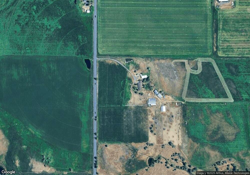
Map
Nearby Homes
- 13501 SW Riggs Rd
- 8385 SW Copley Rd
- 7006 SW Joshua Ct
- 6904 SW Joshua Ct
- 8956 SW Yahooskin Dr
- 9280 SW Copley Rd
- 10300 SW Nicole Dr
- 0 SW Red Cloud Rd Unit 1356 220203006
- 10934 SW Fleming Rd
- 0 Pp 2009-06 Parcel 2 Riggs Rd
- 0 Talarus Tr
- 11311 SW Fleming Rd
- 9001 SW Desert Sage Ln
- 13689 SW Bussett Rd
- 0 SW Parrish Ln Unit 416136612
- 3068 SW Reif Rd
- 12855 SW Ayres Ln
- 0 SW Reif Rd Unit 220210897
- 7305 SW Highway 126
- 165 SW Bent Loop
- 6261 SW Copley Rd
- 6902 SW Copley Rd
- 16543 SW Pinnacle Ct Unit 697
- 7122 SW Copley Rd
- 12895 SW Highway 126
- 12775 SW Highway 126
- 12340 SW Hwy 126
- 12340 SW Highway 126
- 13150 SW Highway 126
- 13574 SW Highway 126
- 12555 SW Highway 126
- 12555 Oregon 126
- 13410 SW Highway 126
- 12909 SW Highway 126
- 13167 SW Hwy 126
- 13167 SW Highway 126
- 0 Stillman Rd Unit 2703613
- 0 SW Bussett Rd Unit 2 2701300
- 0 Stillman Rd Unit 35009
- 0 Stillman Rd Unit 35008