Estimated Value: $45,582
--
Bed
--
Bath
1,196
Sq Ft
$38/Sq Ft
Est. Value
About This Home
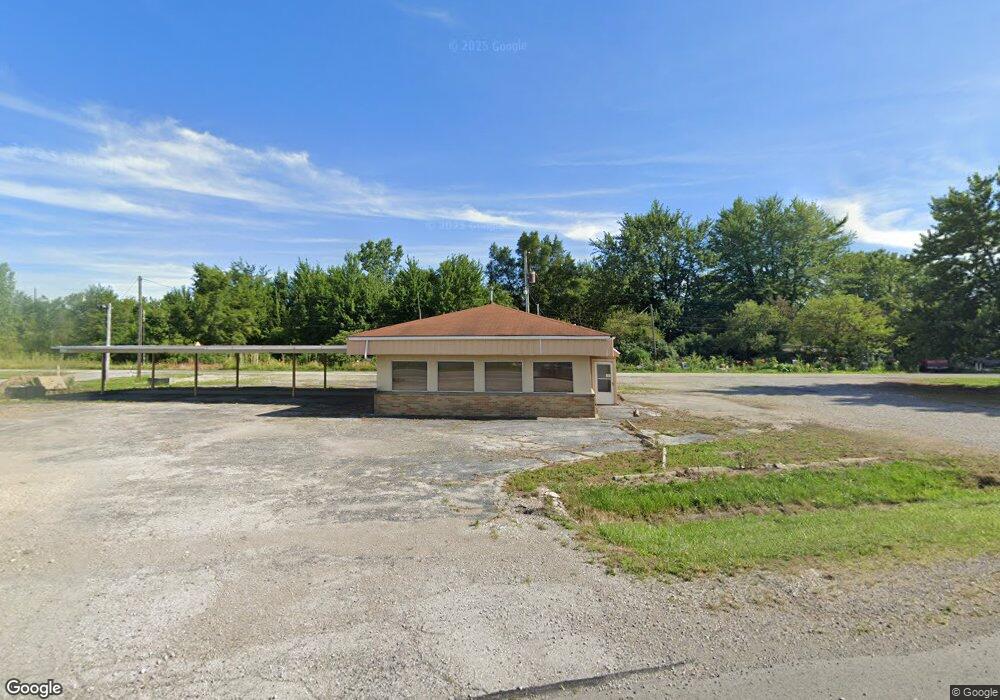
This home is located at 6421 Us Highway 20a, Delta, OH 43515 and is currently estimated at $45,582, approximately $38 per square foot. 6421 Us Highway 20a is a home located in Fulton County with nearby schools including Delta Elementary School, Pike-Delta-York Middle School, and Pike-Delta-York High School.
Ownership History
Date
Name
Owned For
Owner Type
Purchase Details
Closed on
Mar 22, 2023
Sold by
Green Sweep Inc
Bought by
Buchhop Theresa L
Current Estimated Value
Purchase Details
Closed on
Jul 1, 2021
Sold by
Walasinski Jeffery
Bought by
Green Sweep Inc
Purchase Details
Closed on
Aug 31, 2015
Sold by
Spangler Kena J
Bought by
Walasinski Jeffery and Adams Jodi
Purchase Details
Closed on
Sep 28, 2011
Sold by
Spangler Kena J
Bought by
Walasinski Jeffery and Adams Jodi
Home Financials for this Owner
Home Financials are based on the most recent Mortgage that was taken out on this home.
Original Mortgage
$60,000
Interest Rate
3%
Mortgage Type
Seller Take Back
Purchase Details
Closed on
Jan 1, 1990
Bought by
Johnson Kena J
Create a Home Valuation Report for This Property
The Home Valuation Report is an in-depth analysis detailing your home's value as well as a comparison with similar homes in the area
Home Values in the Area
Average Home Value in this Area
Purchase History
| Date | Buyer | Sale Price | Title Company |
|---|---|---|---|
| Buchhop Theresa L | $35,000 | Louisville Title | |
| Buchhop Theresa L | $35,000 | Louisville Title | |
| Green Sweep Inc | $30,000 | Louisville Title | |
| Walasinski Jeffery | $70,000 | Attorney | |
| Walasinski Jeffery | $70,000 | Attorney | |
| Johnson Kena J | -- | -- |
Source: Public Records
Mortgage History
| Date | Status | Borrower | Loan Amount |
|---|---|---|---|
| Previous Owner | Walasinski Jeffery | $60,000 |
Source: Public Records
Tax History Compared to Growth
Tax History
| Year | Tax Paid | Tax Assessment Tax Assessment Total Assessment is a certain percentage of the fair market value that is determined by local assessors to be the total taxable value of land and additions on the property. | Land | Improvement |
|---|---|---|---|---|
| 2024 | $1,020 | $16,840 | $5,010 | $11,830 |
| 2023 | $1,020 | $16,840 | $5,010 | $11,830 |
| 2022 | $1,171 | $16,840 | $5,010 | $11,830 |
| 2021 | $1,194 | $16,840 | $5,010 | $11,830 |
| 2020 | $1,659 | $22,930 | $5,010 | $17,920 |
| 2019 | $1,366 | $18,830 | $4,830 | $14,000 |
| 2018 | $1,373 | $18,830 | $4,830 | $14,000 |
| 2017 | $1,366 | $18,830 | $4,830 | $14,000 |
| 2016 | $1,389 | $18,830 | $4,830 | $14,000 |
| 2015 | $1,350 | $18,830 | $4,830 | $14,000 |
| 2014 | $1,320 | $18,830 | $4,830 | $14,000 |
| 2013 | $1,258 | $18,490 | $4,870 | $13,620 |
Source: Public Records
Map
Nearby Homes
- 929 Linwood Ave
- 11 Meadow Lane Dr
- 703 Linwood Ave
- 518 Providence St
- 600 Fernwood St
- 305 Mckinley St
- 421 Providence St
- 413 Fernwood St
- 308 Monroe St
- 500 Sandalwood Ln
- 434 Monroe St
- 452 Monroe St
- 106 Adrian St
- 9163 County Road F
- 5390 County Road D
- 6854 County Road 3
- 3121 County Road Ef
- 106 Redbud Dr
- 3668 County Road 4
- 7852 County Road C
- 1208 E Main St
- 1206 E Main St
- 6 Yellowstone Ln
- 4 Yellowstone Ln
- 8 Yellowstone Ln
- 10 Yellowstone Ln
- 2 Yellowstone Ln
- 12 Yellowstone Ln
- 7046 County Road 6 2
- 7062 County Road 6 2
- 1 Cascade Ln
- 2 Cascade Ln
- 3 Cascade Ln
- 7102 County Road 6 2
- 7120 County Road 6-2
- 5 Cascade Ln
- 4 Cascade Ln
- 7142 County Road 6 2
- 6 Cascade Ln