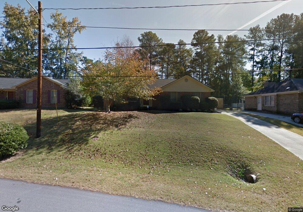
6424 Michael Ave Columbus, GA 31909
North Columbus NeighborhoodEstimated Value: $196,000 - $237,000
3
Beds
3
Baths
1,708
Sq Ft
$130/Sq Ft
Est. Value
About This Home
This home is located at 6424 Michael Ave, Columbus, GA 31909 and is currently estimated at $222,124, approximately $130 per square foot. 6424 Michael Ave is a home located in Muscogee County with nearby schools including Blanchard Elementary School, Veterans Memorial Middle School, and Hardaway High School.
Ownership History
Date
Name
Owned For
Owner Type
Purchase Details
Closed on
Aug 25, 2023
Sold by
Rollins Amanda G
Bought by
Rollins William C
Current Estimated Value
Create a Home Valuation Report for This Property
The Home Valuation Report is an in-depth analysis detailing your home's value as well as a comparison with similar homes in the area
Home Values in the Area
Average Home Value in this Area
Purchase History
| Date | Buyer | Sale Price | Title Company |
|---|---|---|---|
| Rollins William C | -- | None Listed On Document | |
| Rollins William C | -- | None Listed On Document |
Source: Public Records
Tax History
| Year | Tax Paid | Tax Assessment Tax Assessment Total Assessment is a certain percentage of the fair market value that is determined by local assessors to be the total taxable value of land and additions on the property. | Land | Improvement |
|---|---|---|---|---|
| 2025 | $1,269 | $72,156 | $10,440 | $61,716 |
| 2024 | $1,268 | $72,156 | $10,440 | $61,716 |
| 2023 | $582 | $72,156 | $10,440 | $61,716 |
| 2022 | $1,322 | $58,076 | $10,440 | $47,636 |
| 2021 | $1,315 | $56,204 | $10,440 | $45,764 |
| 2020 | $1,316 | $56,204 | $10,440 | $45,764 |
| 2019 | $1,322 | $56,204 | $10,440 | $45,764 |
| 2018 | $1,322 | $56,204 | $10,440 | $45,764 |
| 2017 | $1,328 | $56,204 | $10,440 | $45,764 |
| 2016 | $1,334 | $45,603 | $4,996 | $40,607 |
| 2015 | $1,336 | $45,603 | $4,996 | $40,607 |
| 2014 | $1,338 | $45,603 | $4,996 | $40,607 |
| 2013 | -- | $45,603 | $4,996 | $40,607 |
Source: Public Records
Map
Nearby Homes
- 6411 Michael Ave
- 3670 Weems Rd
- 3646 Weems Rd
- 4001 Twilight Dr
- 6697 Springlake Dr
- 3805 Gray Fox Dr
- 4202 Cheshire Bridge Rd
- 2 Biltmore Ct
- 6607 Hillbrook Ave
- 6104 Windsor Dr
- 6143 Brooklet Dr
- 4174 Will Rhoades Dr
- 4465 Weems Rd
- 4507 N Oaks Dr
- 6158 Arrington Dr
- 6221 Charing Dr
- 6629 Benson Dr
- 4320 Canady St
- 5829 Moon Rd
- 2 Nightwind Ct
- 6436 Michael Ave
- 4651 Turnberry Ln
- 4013 Arrel Dr
- 6448 Michael Ave
- 4025 Arrel Dr
- 4049 Arrel Dr
- 6400 Michael Ave
- 3812 Weems Rd
- 6435 Michael Ave
- 4037 Arrel Dr
- 3824 Weems Rd
- 6447 Michael Ave
- 3830 Weems Rd
- 4055 Arrel Dr
- 6417 Michael Ave
- 4024 Arrel Dr
- 4018 Arrel Dr
- 4030 Arrel Dr
- 3836 Weems Rd
- 6222 Michael Ave
Your Personal Tour Guide
Ask me questions while you tour the home.