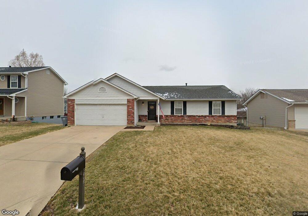
6427 High Meadow Dr O Fallon, MO 63368
Estimated Value: $311,929 - $377,000
3
Beds
3
Baths
1,353
Sq Ft
$256/Sq Ft
Est. Value
About This Home
This home is located at 6427 High Meadow Dr, O Fallon, MO 63368 and is currently estimated at $346,232, approximately $255 per square foot. 6427 High Meadow Dr is a home located in St. Charles County with nearby schools including Pheasant Point Elementary School, Fort Zumwalt South Middle School, and Fort Zumwalt South High School.
Ownership History
Date
Name
Owned For
Owner Type
Purchase Details
Closed on
Jun 30, 2011
Sold by
Glaser Donald and Glaser Rick A
Bought by
Moses Daniel J
Current Estimated Value
Home Financials for this Owner
Home Financials are based on the most recent Mortgage that was taken out on this home.
Original Mortgage
$146,096
Outstanding Balance
$100,699
Interest Rate
4.55%
Mortgage Type
FHA
Estimated Equity
$245,533
Create a Home Valuation Report for This Property
The Home Valuation Report is an in-depth analysis detailing your home's value as well as a comparison with similar homes in the area
Home Values in the Area
Average Home Value in this Area
Purchase History
| Date | Buyer | Sale Price | Title Company |
|---|---|---|---|
| Moses Daniel J | $149,900 | Ust |
Source: Public Records
Mortgage History
| Date | Status | Borrower | Loan Amount |
|---|---|---|---|
| Open | Moses Daniel J | $146,096 |
Source: Public Records
Tax History
| Year | Tax Paid | Tax Assessment Tax Assessment Total Assessment is a certain percentage of the fair market value that is determined by local assessors to be the total taxable value of land and additions on the property. | Land | Improvement |
|---|---|---|---|---|
| 2025 | $3,188 | $54,469 | -- | -- |
| 2023 | $3,191 | $48,300 | $0 | $0 |
| 2022 | $2,734 | $38,536 | $0 | $0 |
| 2021 | $2,741 | $38,536 | $0 | $0 |
| 2020 | $2,673 | $36,172 | $0 | $0 |
| 2019 | $2,679 | $36,172 | $0 | $0 |
| 2018 | $2,503 | $32,319 | $0 | $0 |
| 2017 | $2,460 | $32,319 | $0 | $0 |
| 2016 | $2,275 | $28,705 | $0 | $0 |
| 2015 | $2,121 | $28,705 | $0 | $0 |
| 2014 | $2,008 | $26,809 | $0 | $0 |
Source: Public Records
Map
Nearby Homes
- 1130 Spring Orchard Dr
- 703 Tinsley Ct
- 178 Christina Marie Dr
- 174 Christina Marie Dr
- 249 Dardenne Farms Dr
- 531 John Pitman Dr
- 1343 Avondale Spring Dr
- 71 Harrisburg Ct
- 112 Auburn Trace Pointe Ct
- 527 Auburn Trace Ln
- 101 Winterbrooke Ct
- 103 Auburn Trace Point
- 2662 Breckenridge Cir
- 1319 Commons Cir
- 425 Round Tower Dr W
- 3 Royallbend Ct
- 367 Shamrock St
- 361 Shamrock St
- 12 McCluer Ct
- 10 Muir Trail Ct
- 6431 High Meadow Dr
- 6423 High Meadow Dr
- 6426 Clover Farm Dr
- 6430 Clover Farm Dr
- 6435 High Meadow Dr
- 6419 High Meadow Dr
- 6422 Clover Farm Dr
- 6434 Clover Farm Dr
- 6428 High Meadow Dr
- 6432 High Meadow Dr
- 6424 High Meadow Dr
- 6418 Clover Farm Dr
- 6438 Clover Farm Dr
- 6439 High Meadow Dr
- 6415 High Meadow Dr
- 6418 Clover Farms Dr
- 6420 High Meadow Dr
- 6436 High Meadow Dr
- 6412 Clover Farm Dr
- 6416 High Meadow Dr
Your Personal Tour Guide
Ask me questions while you tour the home.