Estimated Value: $1,743,000
3
Beds
3
Baths
2,332
Sq Ft
$747/Sq Ft
Est. Value
About This Home
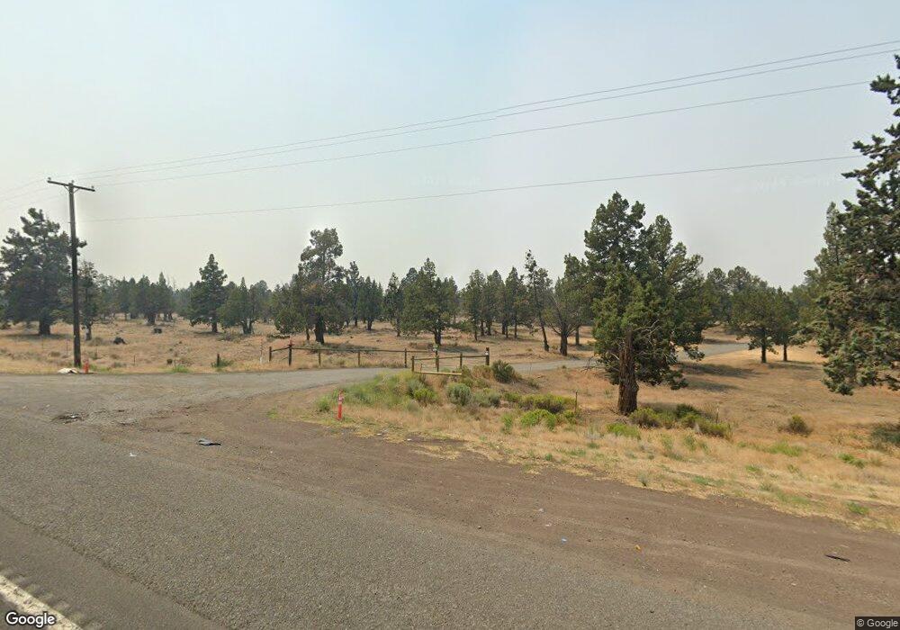
This home is located at 64285 N Hwy 97, Bend, OR 97701 and is currently estimated at $1,743,000, approximately $747 per square foot. 64285 N Hwy 97 is a home located in Deschutes County with nearby schools including North Star Elementary School, Sky View Middle School, and Mountain View Senior High School.
Ownership History
Date
Name
Owned For
Owner Type
Purchase Details
Closed on
May 4, 2021
Sold by
Pacific Northern Proerties I Llc
Bought by
Connor Tom Clayton and Connor Megan Michelle
Current Estimated Value
Home Financials for this Owner
Home Financials are based on the most recent Mortgage that was taken out on this home.
Original Mortgage
$1,155,000
Outstanding Balance
$1,042,257
Interest Rate
3.1%
Mortgage Type
New Conventional
Estimated Equity
$700,743
Purchase Details
Closed on
Nov 8, 2019
Sold by
Burke Fredrick J and Burke Constance D
Bought by
Ferrasci Kenneth E and 2003 Kenneth E Ferrasci Revocable Trust
Purchase Details
Closed on
Jul 17, 2019
Sold by
Burke Constance D and Burke Fredrick J
Bought by
Department Of Transportat Ion
Home Financials for this Owner
Home Financials are based on the most recent Mortgage that was taken out on this home.
Interest Rate
3.75%
Purchase Details
Closed on
Dec 6, 2017
Sold by
Burke Fred
Bought by
Burke Frederick J and Burke Constance D
Create a Home Valuation Report for This Property
The Home Valuation Report is an in-depth analysis detailing your home's value as well as a comparison with similar homes in the area
Home Values in the Area
Average Home Value in this Area
Purchase History
| Date | Buyer | Sale Price | Title Company |
|---|---|---|---|
| Connor Tom Clayton | $1,650,000 | First American Title | |
| Ferrasci Kenneth E | $1,300,000 | First American Title | |
| Department Of Transportat Ion | -- | -- | |
| Burke Frederick J | -- | None Available |
Source: Public Records
Mortgage History
| Date | Status | Borrower | Loan Amount |
|---|---|---|---|
| Open | Connor Tom Clayton | $1,155,000 | |
| Previous Owner | Department Of Transportat Ion | -- |
Source: Public Records
Tax History Compared to Growth
Tax History
| Year | Tax Paid | Tax Assessment Tax Assessment Total Assessment is a certain percentage of the fair market value that is determined by local assessors to be the total taxable value of land and additions on the property. | Land | Improvement |
|---|---|---|---|---|
| 2025 | $3,461 | $231,068 | -- | -- |
| 2024 | $3,323 | $225,108 | -- | -- |
| 2023 | $3,138 | $219,318 | $0 | $0 |
| 2022 | $2,904 | $208,238 | $0 | $0 |
| 2021 | $2,932 | $202,938 | $0 | $0 |
| 2020 | $2,779 | $202,938 | $0 | $0 |
| 2019 | $2,711 | $197,790 | $0 | $0 |
| 2018 | $2,642 | $192,800 | $0 | $0 |
| 2017 | $2,583 | $187,950 | $0 | $0 |
| 2016 | $2,491 | $185,233 | $0 | $0 |
| 2015 | $2,432 | $180,655 | $0 | $0 |
| 2014 | $2,363 | $176,020 | $0 | $0 |
Source: Public Records
Map
Nearby Homes
- 20766 S Loop Place
- 64900 Hunnell Rd Unit 51
- 64100 N Highway 97 Unit 14
- 64100 N Highway 97 Unit 16
- 64950 Glacier View Dr
- 0 Tumalo Rd
- 65050 92nd St
- 65043 85th St
- 0 Rodeo Dr
- 64401 Deschutes Market Rd
- 63930 N Highway 97 Unit 42
- 65055 Old Bend Redmond Hwy
- 65299 85th St
- 65020 Swalley Rd
- 65070 Swalley Rd
- 63759 Hunters Cir
- 65140 78th St
- 63752 Hunters Cir
- 20756 Legacy Place Unit 68
- 20709 Farenuff Place Unit 74
- 64285 N Hwy 97
- 64285 N Highway 97
- 20659 N Sunbeam Ln
- 20660 Sunbeam Ln
- 20655 Sunbeam Ln
- 20605 Sunbeam Ln
- 20640 Sunbeam Ln
- 20605 Lowe Ln
- 20575 Sunbeam Ln
- 20610 Sunbeam Ln
- 20596 Lowe Ln
- 20600 Lowe Ln
- 64707 Alcor Place
- 64703 Alcor Place
- 64715 Alcor Place
- 64718 Starwood Dr
- 64708 Alcor Place
- 64720 Starwood Dr
- 64718 Alcor Place
- 64726 Starwood Dr