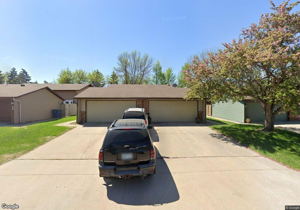
643 Beech Ln Moorhead, MN 56560
Estimated Value: $167,000 - $184,000
2
Beds
2
Baths
1,080
Sq Ft
$162/Sq Ft
Est. Value
About This Home
This home is located at 643 Beech Ln, Moorhead, MN 56560 and is currently estimated at $174,563, approximately $161 per square foot. 643 Beech Ln is a home located in Clay County with nearby schools including Dorothy Dodds Elementary School, Horizon Middle School, and Moorhead High School.
Ownership History
Date
Name
Owned For
Owner Type
Purchase Details
Closed on
May 17, 2017
Sold by
Rinehart Karen M
Bought by
Smith Marco D
Current Estimated Value
Purchase Details
Closed on
Jul 25, 2011
Sold by
Anenson Larry W
Bought by
Rinehart Karen M
Home Financials for this Owner
Home Financials are based on the most recent Mortgage that was taken out on this home.
Original Mortgage
$87,920
Interest Rate
4.53%
Mortgage Type
New Conventional
Purchase Details
Closed on
Nov 18, 2005
Sold by
Hamilton Jane E
Bought by
Anenson Larry W
Home Financials for this Owner
Home Financials are based on the most recent Mortgage that was taken out on this home.
Original Mortgage
$3,000
Interest Rate
6.17%
Mortgage Type
Unknown
Create a Home Valuation Report for This Property
The Home Valuation Report is an in-depth analysis detailing your home's value as well as a comparison with similar homes in the area
Home Values in the Area
Average Home Value in this Area
Purchase History
| Date | Buyer | Sale Price | Title Company |
|---|---|---|---|
| Smith Marco D | $113,900 | Title Co Of Fargo | |
| Rinehart Karen M | $109,900 | None Available | |
| Anenson Larry W | -- | None Available |
Source: Public Records
Mortgage History
| Date | Status | Borrower | Loan Amount |
|---|---|---|---|
| Previous Owner | Rinehart Karen M | $87,920 | |
| Previous Owner | Anenson Larry W | $3,000 | |
| Previous Owner | Anenson Larry W | $83,200 |
Source: Public Records
Tax History
| Year | Tax Paid | Tax Assessment Tax Assessment Total Assessment is a certain percentage of the fair market value that is determined by local assessors to be the total taxable value of land and additions on the property. | Land | Improvement |
|---|---|---|---|---|
| 2025 | $1,842 | $151,600 | $10,400 | $141,200 |
| 2024 | $1,842 | $143,400 | $10,400 | $133,000 |
| 2023 | $1,832 | $137,000 | $10,400 | $126,600 |
| 2022 | $1,614 | $134,200 | $16,700 | $117,500 |
| 2021 | $1,648 | $120,400 | $12,500 | $107,900 |
| 2020 | $1,942 | $121,300 | $12,500 | $108,800 |
| 2019 | $1,400 | $120,200 | $12,400 | $107,800 |
| 2018 | $1,396 | $114,000 | $12,400 | $101,600 |
| 2017 | $1,578 | $114,000 | $12,400 | $101,600 |
| 2016 | $1,496 | $106,800 | $12,400 | $94,400 |
| 2015 | $1,302 | $91,000 | $12,400 | $78,600 |
| 2014 | $1,222 | $91,000 | $12,400 | $78,600 |
Source: Public Records
Map
Nearby Homes
- 918 Rensvold Blvd
- 706 Rensvold Blvd
- 518 Birch Ln
- 3718 27th St S
- 3724 27th St S
- 2305 4th Ave S
- 1715 33rd St S
- 2907 Eagle Dr
- 1515 19 1 2 St S
- 766 36th St S
- 1218 35th Street Cir S
- 429 18th St S
- 419 18th St S
- 2002 35th Street South Cir
- 1815 20th Ave S
- 2239 35th Street Cir S
- 1210 14th St S
- 2014 18th St S
- 3707 33rd St S
- 3806 33rd St S
Your Personal Tour Guide
Ask me questions while you tour the home.