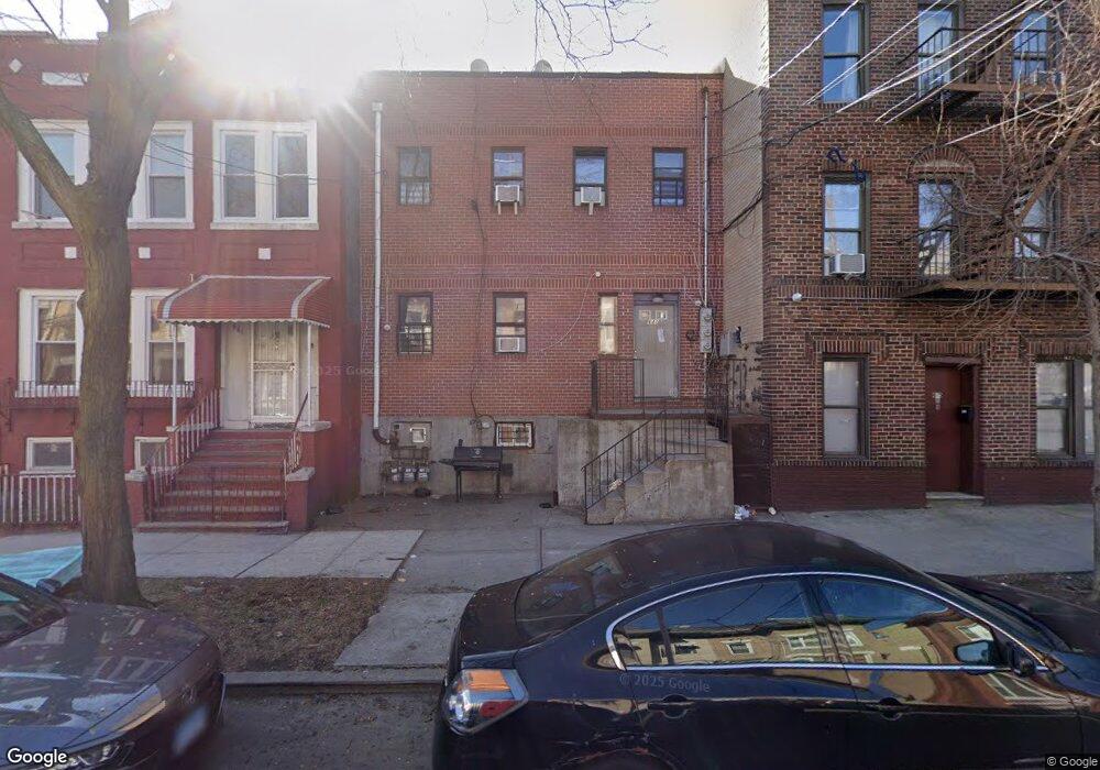
643 Faile St Unit 2-L Bronx, NY 10474
Hunts Point NeighborhoodEstimated Value: $873,000 - $1,093,000
2
Beds
1
Bath
2,750
Sq Ft
$345/Sq Ft
Est. Value
About This Home
This home is located at 643 Faile St Unit 2-L, Bronx, NY 10474 and is currently estimated at $947,667, approximately $344 per square foot. 643 Faile St Unit 2-L is a home located in Bronx County with nearby schools including P.S. 48 - Joseph R. Drake, Bronx Academy for Multi-Media, and Bold Charter School.
Ownership History
Date
Name
Owned For
Owner Type
Purchase Details
Closed on
May 22, 2002
Sold by
Bsdrr Inc
Bought by
Rosenberg Jacob
Current Estimated Value
Home Financials for this Owner
Home Financials are based on the most recent Mortgage that was taken out on this home.
Original Mortgage
$270,000
Outstanding Balance
$112,967
Interest Rate
6.8%
Mortgage Type
Purchase Money Mortgage
Estimated Equity
$834,700
Purchase Details
Closed on
Jan 10, 2001
Sold by
The City Of New York
Bought by
Bsdrr Inc
Create a Home Valuation Report for This Property
The Home Valuation Report is an in-depth analysis detailing your home's value as well as a comparison with similar homes in the area
Home Values in the Area
Average Home Value in this Area
Purchase History
| Date | Buyer | Sale Price | Title Company |
|---|---|---|---|
| Rosenberg Jacob | -- | -- | |
| Bsdrr Inc | $10,500 | -- |
Source: Public Records
Mortgage History
| Date | Status | Borrower | Loan Amount |
|---|---|---|---|
| Open | Rosenberg Jacob | $270,000 |
Source: Public Records
Tax History Compared to Growth
Tax History
| Year | Tax Paid | Tax Assessment Tax Assessment Total Assessment is a certain percentage of the fair market value that is determined by local assessors to be the total taxable value of land and additions on the property. | Land | Improvement |
|---|---|---|---|---|
| 2025 | $8,091 | $42,703 | $8,309 | $34,394 |
| 2024 | $8,091 | $40,286 | $8,176 | $32,110 |
| 2023 | $7,719 | $38,006 | $8,009 | $29,997 |
| 2022 | $7,158 | $47,280 | $9,900 | $37,380 |
| 2021 | $7,546 | $45,840 | $9,900 | $35,940 |
| 2020 | $7,533 | $43,320 | $9,900 | $33,420 |
| 2019 | $241 | $35,700 | $9,900 | $25,800 |
| 2018 | $235 | $31,672 | $8,415 | $23,257 |
| 2017 | $235 | $29,880 | $9,900 | $19,980 |
| 2016 | $230 | $31,020 | $9,900 | $21,120 |
| 2015 | $157 | $30,480 | $9,960 | $20,520 |
| 2014 | $157 | $30,480 | $9,960 | $20,520 |
Source: Public Records
Map
Nearby Homes
- 631 Coster St
- 645 Barretto St Unit 3G
- 637 Barretto St
- 633 Barretto St
- 526 Barretto St
- 1321 Lafayette Ave
- 827 Longfellow Ave
- 829 Southern Blvd Unit 3D
- 814 Fox St
- 917 Fox St
- 950 Hoe Ave Unit 4C
- 950 Hoe Ave Unit 4D
- 767 Beck St
- 715 Fox St Unit 4G
- 715 Fox St Unit 5J
- 1012 Faile St Unit 1012A
- 956 E 156th St
- 1017 Faile St Unit 1017B
- 820 Boynton Ave Unit 18G
- 820 Boynton Ave Unit 17B
- 643 Faile St
- 641 Faile St
- 639 Faile St
- 647 Faile St
- 637 Faile St
- 635 Faile St
- 650 Coster St
- 646 Coster St
- 652 Coster St
- 648 Coster St
- 644 Coster St Unit 2
- 644 Coster St
- 654 Coster St
- 642 Coster St Unit 2
- 642 Coster St
- 642 Coster St Unit 1
- 642 Coster St Unit Garden
- 633 Faile St
- 656 Coster St
- 640 Coster St