Estimated Value: $497,066 - $653,000
3
Beds
2
Baths
2,897
Sq Ft
$199/Sq Ft
Est. Value
About This Home
This home is located at 643 N Sand Point Rd, Mead, OK 73449 and is currently estimated at $577,517, approximately $199 per square foot. 643 N Sand Point Rd is a home located in Bryan County with nearby schools including Silo Elementary School, Silo Early Childhood Center, and Silo Middle School.
Ownership History
Date
Name
Owned For
Owner Type
Purchase Details
Closed on
Jul 29, 2025
Sold by
Smith Shawn and Robertson Alexis A
Bought by
Jason L Kneedy Trust and Kneedy
Current Estimated Value
Purchase Details
Closed on
May 8, 2002
Sold by
Hawkins Regina G
Bought by
Smith Shawn
Purchase Details
Closed on
Oct 12, 2001
Sold by
Hawkinss Neal and Hawkinss Regina
Bought by
Hawkins Regina G
Purchase Details
Closed on
May 13, 1999
Sold by
Kirk Phillip L and Kirk Nancy A
Bought by
Hawkins Neal and Hawkins Regina G
Purchase Details
Closed on
May 25, 1994
Sold by
Boyer Sidney and Boyer Beverly
Bought by
Kirk Phillip L and Kirk Nancy A
Create a Home Valuation Report for This Property
The Home Valuation Report is an in-depth analysis detailing your home's value as well as a comparison with similar homes in the area
Home Values in the Area
Average Home Value in this Area
Purchase History
| Date | Buyer | Sale Price | Title Company |
|---|---|---|---|
| Jason L Kneedy Trust | $1,275 | Old Republic Title | |
| Jason L Kneedy Trust | $1,275 | Old Republic Title | |
| Smith Shawn | $300,000 | -- | |
| Hawkins Regina G | -- | -- | |
| Hawkins Neal | $210,000 | -- | |
| Kirk Phillip L | $150,000 | -- |
Source: Public Records
Tax History Compared to Growth
Tax History
| Year | Tax Paid | Tax Assessment Tax Assessment Total Assessment is a certain percentage of the fair market value that is determined by local assessors to be the total taxable value of land and additions on the property. | Land | Improvement |
|---|---|---|---|---|
| 2025 | $3,707 | $43,616 | $16,713 | $26,903 |
| 2024 | $3,707 | $43,806 | $16,713 | $27,093 |
| 2023 | $3,707 | $42,041 | $16,713 | $25,328 |
| 2022 | $3,535 | $41,736 | $16,344 | $25,392 |
| 2021 | $3,283 | $39,748 | $15,520 | $24,228 |
| 2020 | $3,143 | $37,856 | $14,736 | $23,120 |
| 2019 | $3,040 | $36,053 | $13,988 | $22,065 |
| 2018 | $2,907 | $34,337 | $11,000 | $23,337 |
| 2017 | $2,529 | $34,337 | $11,000 | $23,337 |
| 2016 | $2,529 | $34,337 | $11,000 | $23,337 |
| 2015 | $2,529 | $34,337 | $11,000 | $23,337 |
| 2014 | $2,528 | $34,337 | $11,000 | $23,337 |
Source: Public Records
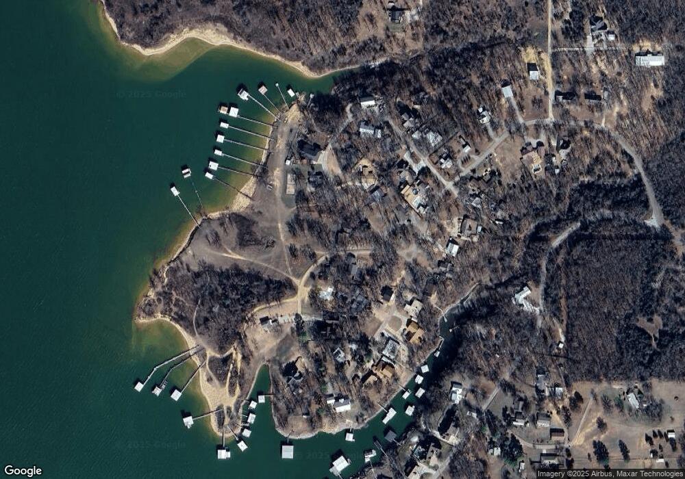
Map
Nearby Homes
- 200 Sunset Cove
- 180 Sunset Cove
- 429 N Sand Point Rd
- 0 N Sand Point Rd
- 0 S Texoma Rd
- 802 W Sand Point Rd
- 198 Texoma Dr
- 426 White Dr
- 320 Sunset Way
- 280 Sunset Way
- 300 Sunset Way
- 342 Sunset Way
- 364 Sunset Way
- 0 E Sophia Loop Unit 20251214
- 1409 Streetman Rd
- 45 W Sophia Loop
- 36 Flounder Rd
- 65 Bass Dr
- 75 Perch Dr
- 14 Red Fish Dr
- 320 Sunset Cove
- 221 Sunset Cove
- 404 N Sand Point Rd
- 189 Sunset Cove
- 179 Sunset Cove
- 162 Sunset Cove
- 37 Sunset Cove
- 355 N Sand Point Rd
- 383 N Sand Point Rd
- 59 Sunset Cove
- 311 N Sand Point Rd
- 131 Sunset Cove
- 309 N Sand Point Rd
- 331 N Sand Point Rd
- 275 N Sand Point Rd
- 445 N Sand Point Rd
- 44 Sunset Cove
- 258 N Sand Point Rd
- 116 Sunset Cove
- 509 N Sand Point Rd