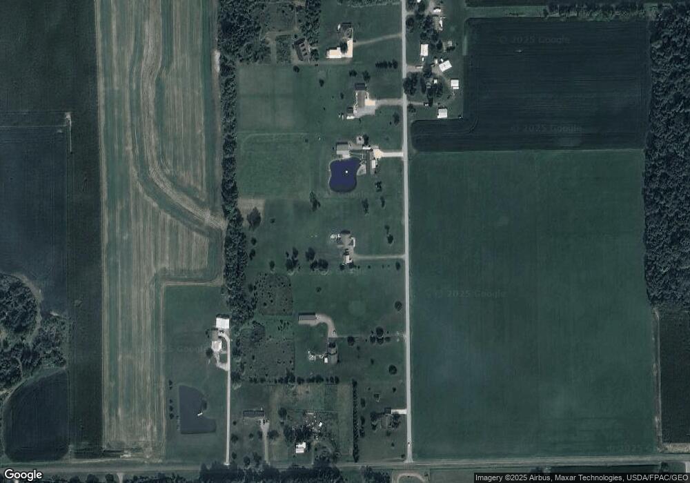
643 Shrider Rd Harrod, OH 45850
Estimated Value: $283,000 - $420,000
3
Beds
2
Baths
2,265
Sq Ft
$160/Sq Ft
Est. Value
About This Home
This home is located at 643 Shrider Rd, Harrod, OH 45850 and is currently estimated at $363,093, approximately $160 per square foot. 643 Shrider Rd is a home with nearby schools including Allen East Elementary School, Allen East Middle School, and Allen East High School.
Ownership History
Date
Name
Owned For
Owner Type
Purchase Details
Closed on
Jan 17, 2017
Sold by
Jones Roger L and Jones Sara E
Bought by
Jones Roger L and Jones Sara E
Current Estimated Value
Purchase Details
Closed on
Sep 16, 2011
Sold by
Gilbreath Claude V and Gilbreath Shari A
Bought by
Kirian David M and Kirian Marcia L
Purchase Details
Closed on
Aug 7, 1998
Sold by
Allen Robert
Bought by
Miller Scott and Miller Delra
Home Financials for this Owner
Home Financials are based on the most recent Mortgage that was taken out on this home.
Original Mortgage
$12,000
Interest Rate
7.25%
Mortgage Type
New Conventional
Create a Home Valuation Report for This Property
The Home Valuation Report is an in-depth analysis detailing your home's value as well as a comparison with similar homes in the area
Purchase History
| Date | Buyer | Sale Price | Title Company |
|---|---|---|---|
| Jones Roger L | -- | None Available | |
| Kirian David M | $36,000 | Attorney | |
| Miller Scott | $16,000 | -- |
Source: Public Records
Mortgage History
| Date | Status | Borrower | Loan Amount |
|---|---|---|---|
| Closed | Miller Scott | $12,000 |
Source: Public Records
Tax History
| Year | Tax Paid | Tax Assessment Tax Assessment Total Assessment is a certain percentage of the fair market value that is determined by local assessors to be the total taxable value of land and additions on the property. | Land | Improvement |
|---|---|---|---|---|
| 2024 | $4,290 | $122,020 | $20,270 | $101,750 |
| 2023 | $3,406 | $87,710 | $15,470 | $72,240 |
| 2022 | $3,404 | $87,710 | $15,470 | $72,240 |
| 2021 | $3,405 | $87,710 | $15,470 | $72,240 |
| 2020 | $3,133 | $78,510 | $15,300 | $63,210 |
| 2019 | $3,133 | $78,510 | $15,300 | $63,210 |
| 2018 | $3,130 | $78,510 | $15,300 | $63,210 |
| 2017 | $2,886 | $70,250 | $15,300 | $54,950 |
| 2016 | $2,882 | $70,250 | $15,300 | $54,950 |
| 2015 | $2,877 | $70,250 | $15,300 | $54,950 |
| 2014 | $3,116 | $73,510 | $14,530 | $58,980 |
| 2013 | $539 | $13,020 | $13,020 | $0 |
Source: Public Records
Map
Nearby Homes
- 2327 N Phillips Rd
- 9373 Harrod Rd
- 5606 Reservoir Rd
- 1689 County Road 50
- 3300 Johnston Rd
- 5594 County Road 35
- 7165 Faulkner Rd
- 1706 County Road 80
- 6381 McPheron Rd
- 207 Smith St
- 5600 E Hanthorn Rd
- 1669 County Road 92
- 5490 E Hanthorn Rd
- 303 N Front St
- 6476 Mickelson Ln
- 6477 Woods Dr Unit 220
- 2959 County Road 60
- 2864 Ohio 309
- 203 Belmont St
- 820 S Main St
Your Personal Tour Guide
Ask me questions while you tour the home.