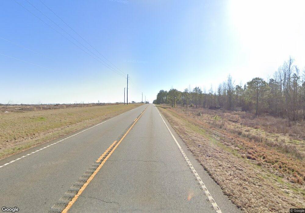
643 Us Highway 280 W Plains, GA 31780
Estimated Value: $197,000 - $263,000
3
Beds
2
Baths
1,535
Sq Ft
$149/Sq Ft
Est. Value
About This Home
This home is located at 643 Us Highway 280 W, Plains, GA 31780 and is currently estimated at $229,469, approximately $149 per square foot. 643 Us Highway 280 W is a home located in Sumter County with nearby schools including Sumter County Primary School, Sumter County Elementary School, and Sumter County Middle School.
Ownership History
Date
Name
Owned For
Owner Type
Purchase Details
Closed on
Feb 6, 2023
Sold by
Saint Marvin Robert
Bought by
Wilson Jeanne and Devane Patricia
Current Estimated Value
Purchase Details
Closed on
Mar 6, 2009
Sold by
Saint Eloise B
Bought by
Saint Marvin Robert
Purchase Details
Closed on
Jan 1, 1965
Bought by
Saint Mrs Eloise B
Purchase Details
Closed on
Oct 21, 1963
Sold by
Stephens W F
Bought by
Saint R L
Create a Home Valuation Report for This Property
The Home Valuation Report is an in-depth analysis detailing your home's value as well as a comparison with similar homes in the area
Purchase History
| Date | Buyer | Sale Price | Title Company |
|---|---|---|---|
| Wilson Jeanne | $225,000 | -- | |
| Saint Marvin Robert | -- | -- | |
| Saint Mrs Eloise B | -- | -- | |
| Saint R L | -- | -- |
Source: Public Records
Tax History
| Year | Tax Paid | Tax Assessment Tax Assessment Total Assessment is a certain percentage of the fair market value that is determined by local assessors to be the total taxable value of land and additions on the property. | Land | Improvement |
|---|---|---|---|---|
| 2025 | $1,663 | $38,404 | $6,680 | $31,724 |
| 2024 | $1,663 | $38,404 | $6,680 | $31,724 |
| 2023 | $1,824 | $37,032 | $6,680 | $30,352 |
| 2022 | $1,584 | $37,032 | $6,680 | $30,352 |
| 2021 | $1,587 | $37,032 | $6,680 | $30,352 |
| 2020 | $1,626 | $37,032 | $6,680 | $30,352 |
| 2019 | $1,555 | $37,032 | $6,680 | $30,352 |
| 2018 | $1,555 | $37,032 | $6,680 | $30,352 |
| 2017 | $1,555 | $37,032 | $6,680 | $30,352 |
| 2016 | $1,556 | $37,032 | $6,680 | $30,352 |
| 2015 | $1,576 | $38,512 | $6,680 | $31,832 |
| 2014 | $1,578 | $38,512 | $6,680 | $31,832 |
| 2013 | -- | $38,512 | $6,680 | $31,832 |
Source: Public Records
Map
Nearby Homes
- Lot 38 Wolf Creek Dr
- 207 Wolf Creek Dr
- 195 Horseshoe Cir
- Lot 73 & 74 Wolf Creek Dr
- 240-248 James Hart Rd
- 100 Odum Rd
- 130 Mallard Ln
- 205 U S 19
- 000 U S Highway 19
- 215 Mockingbird Dr
- 633 S Hampton St
- 104 Westlake Cir
- 406 S Hampton St
- 601 Youngs Mill Rd
- 533 Harrold Ave
- 302 W College St
- 604 A-C Ga Hwy 49s
- 253 Ga Hwy 27e
- 909 Hwy E Ga Hwy 27e
- 205 Valley Dr
- 633 Us Highway 280 W
- 618 Us Highway 280 W
- 612 Us Highway 280 W
- 112 Howard Johnson Rd
- 602 Us Highway 280 W
- 141 Howard Johnson Rd
- 109 Daisy Dr
- 108 Daisy Dr
- 107 Daisy Dr
- 116 Daisy Dr
- 588 Us Highway 280 W
- 110 Iris Dr
- 124 Iris Dr
- 103 Fern St
- 107 Fern St
- 573 Us Highway 280 W
- 552 Us Highway 280
- 128 Howard Johnson Rd
- 566 Us Highway 280 W
- 180 Howard Johnson Rd
