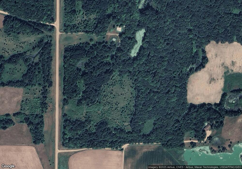
6432 10th Ave Burtrum, MN 56318
Estimated Value: $269,000 - $429,000
3
Beds
1
Bath
1,136
Sq Ft
$285/Sq Ft
Est. Value
About This Home
This home is located at 6432 10th Ave, Burtrum, MN 56318 and is currently estimated at $324,262, approximately $285 per square foot. 6432 10th Ave is a home located in Morrison County with nearby schools including Long Prairie-Grey Eagle Elementary and Long Prairie-Grey Secondary School.
Ownership History
Date
Name
Owned For
Owner Type
Purchase Details
Closed on
Oct 5, 2023
Sold by
Eggerth Roger
Bought by
Piper Timothy
Current Estimated Value
Home Financials for this Owner
Home Financials are based on the most recent Mortgage that was taken out on this home.
Original Mortgage
$144,000
Outstanding Balance
$141,200
Interest Rate
7.18%
Mortgage Type
New Conventional
Estimated Equity
$183,062
Create a Home Valuation Report for This Property
The Home Valuation Report is an in-depth analysis detailing your home's value as well as a comparison with similar homes in the area
Home Values in the Area
Average Home Value in this Area
Purchase History
| Date | Buyer | Sale Price | Title Company |
|---|---|---|---|
| Piper Timothy | $180,000 | None Listed On Document |
Source: Public Records
Mortgage History
| Date | Status | Borrower | Loan Amount |
|---|---|---|---|
| Open | Piper Timothy | $144,000 |
Source: Public Records
Tax History Compared to Growth
Tax History
| Year | Tax Paid | Tax Assessment Tax Assessment Total Assessment is a certain percentage of the fair market value that is determined by local assessors to be the total taxable value of land and additions on the property. | Land | Improvement |
|---|---|---|---|---|
| 2025 | $1,460 | $222,100 | $186,200 | $35,900 |
| 2024 | $282 | $215,600 | $181,600 | $34,000 |
| 2023 | $294 | $210,000 | $181,600 | $28,400 |
| 2022 | $294 | $166,200 | $143,200 | $23,000 |
| 2021 | $284 | $158,400 | $137,900 | $20,500 |
| 2020 | $282 | $421,700 | $370,300 | $51,400 |
| 2019 | $304 | $138,900 | $121,800 | $17,100 |
| 2018 | $376 | $137,000 | $121,800 | $15,200 |
| 2017 | $386 | $137,000 | $121,800 | $15,200 |
| 2016 | $494 | $0 | $0 | $0 |
| 2014 | -- | $0 | $0 | $0 |
| 2013 | -- | $0 | $0 | $0 |
Source: Public Records
Map
Nearby Homes
- XXX Acorn Rd
- XXXX Acorn Rd
- 5261 Apollo Rd
- 7056 25th Ave
- 33666 Breezy Dr
- 1734 40th St
- 501 Degraff St
- 305 Berkey Ave
- 108 3rd St E
- TBD Dunlin Rd
- 6592 55th Ave
- 6 Forest Hill Ln
- 423 State St E
- 30213 Duckweed Dr
- 208 Cedar St N
- 104 Minnesota St E
- 19264 Ermine Dr
- 21317 Morrison Line Rd
- 17706 Dogwood Loop
- 19555 Erie Dr
- 1183 68th St
- 6314 10th Ave
- XXXX Lot 3 Acorn Rd
- 6014 Acorn Rd
- 34733 Cranberry Rd
- 34733 Cranberry Rd
- 7074 10th Ave
- 5805 Acorn Rd
- 34617 Cranberry Rd
- 7080 10th Ave
- 34435 Cranberry Rd
- 5721 Acorn Rd
- XXX N 10th Ave
- XXXX 10th Ave
- XxxX 341 St Ave
- 0 341st Ave Unit 20-33494
- 34370 Cranberry Rd
- 6331 Apollo Rd
- 5454 Acorn Rd
- XXX 341st Ave
