644 Community Dr Battle Creek, MI 49014
Estimated Value: $189,000 - $348,000
2
Beds
1
Bath
944
Sq Ft
$249/Sq Ft
Est. Value
About This Home
This home is located at 644 Community Dr, Battle Creek, MI 49014 and is currently estimated at $235,350, approximately $249 per square foot. 644 Community Dr is a home located in Calhoun County with nearby schools including Pennfield Dunlap Elementary School, North Pennfield Elementary School, and Pennfield Middle School.
Ownership History
Date
Name
Owned For
Owner Type
Purchase Details
Closed on
Oct 8, 2009
Sold by
Hill Jason R
Bought by
Federal Home Loan Mortgage Corp
Current Estimated Value
Purchase Details
Closed on
Nov 17, 2006
Sold by
Hill Linda
Bought by
Hill Jason R
Home Financials for this Owner
Home Financials are based on the most recent Mortgage that was taken out on this home.
Original Mortgage
$114,000
Interest Rate
6.47%
Mortgage Type
Purchase Money Mortgage
Purchase Details
Closed on
Nov 5, 2006
Sold by
Hill Richard A
Bought by
Hill Jason Richard
Home Financials for this Owner
Home Financials are based on the most recent Mortgage that was taken out on this home.
Original Mortgage
$114,000
Interest Rate
6.47%
Mortgage Type
Purchase Money Mortgage
Purchase Details
Closed on
Feb 29, 1996
Sold by
Larkin Hoffman Daly Lindgren
Bought by
Hill Richard
Purchase Details
Closed on
Mar 24, 1995
Sold by
Bush Marlean
Bought by
Larkin Hoffman Daly Lindgren
Create a Home Valuation Report for This Property
The Home Valuation Report is an in-depth analysis detailing your home's value as well as a comparison with similar homes in the area
Home Values in the Area
Average Home Value in this Area
Purchase History
| Date | Buyer | Sale Price | Title Company |
|---|---|---|---|
| Federal Home Loan Mortgage Corp | $74,000 | None Available | |
| Hill Jason R | -- | None Available | |
| Hill Jason Richard | -- | None Available | |
| Hill Richard | $17,100 | -- | |
| Larkin Hoffman Daly Lindgren | $11,700 | -- |
Source: Public Records
Mortgage History
| Date | Status | Borrower | Loan Amount |
|---|---|---|---|
| Previous Owner | Hill Jason R | $114,000 |
Source: Public Records
Tax History Compared to Growth
Tax History
| Year | Tax Paid | Tax Assessment Tax Assessment Total Assessment is a certain percentage of the fair market value that is determined by local assessors to be the total taxable value of land and additions on the property. | Land | Improvement |
|---|---|---|---|---|
| 2025 | $2,352 | $90,300 | $0 | $0 |
| 2024 | $981 | $84,000 | $0 | $0 |
| 2023 | $1,902 | $78,070 | $0 | $0 |
| 2022 | $890 | $68,120 | $0 | $0 |
| 2021 | $1,982 | $65,200 | $0 | $0 |
| 2020 | $2,028 | $59,580 | $0 | $0 |
| 2019 | $1,965 | $60,840 | $0 | $0 |
| 2018 | $1,634 | $51,800 | $10,180 | $41,620 |
| 2017 | $0 | $52,730 | $0 | $0 |
| 2016 | $0 | $43,040 | $0 | $0 |
| 2015 | -- | $40,720 | $9,661 | $31,059 |
| 2014 | -- | $40,680 | $9,661 | $31,019 |
Source: Public Records
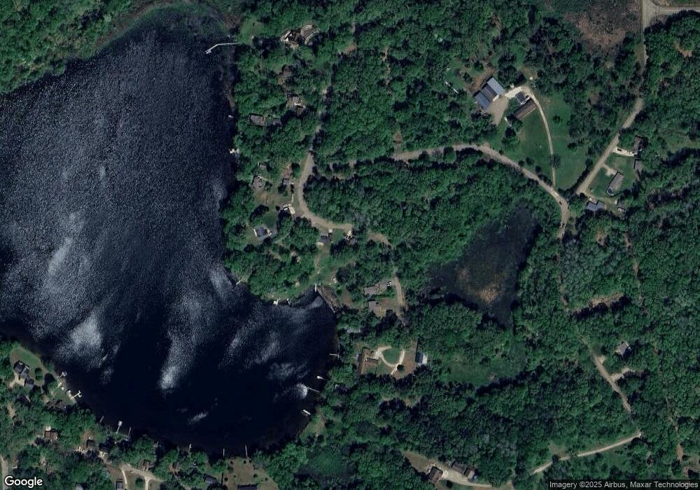
Map
Nearby Homes
- 332 Community Dr
- 21534 Clear Lake Ave
- 22485 Clear Lake Rd N
- 0 Lynch Rd Unit 25041472
- 9559 Brian Dr
- 22975 Pine Lake Rd
- 20291 Chippewa Trail
- 24190 Michigan 78
- 20259 Pine Lake Rd
- 23720 M 78
- V/L 12 1 2 Mile Rd
- 10950 W Dr N
- 11303 W Dr N
- 12986 Bellevue Rd
- 22511 Capital Ave NE
- 19016 11 Mile Rd
- 114 Wanondoger Cir
- 11864 Gorsline Rd
- 215 Pony Ave
- 220 Pennbrook Trail
- 614 Community Dr
- 673 Community Dr
- 591 Community Dr
- 452 Community Dr
- 561 Community Dr
- 683 Community Dr
- 701 Community Dr
- 531 Community Dr
- 391 Community Dr
- 454 Community Dr
- 732 Clear Lake Rd
- 0 Community Dr
- 422 Community Dr
- 732 Community Dr
- 781 Clear Lake Rd
- 803 Clear Lake Ave
- 282 Community Dr
- 263 Community Dr
- 21953 Clear Lake Rd
- 203 Community Dr