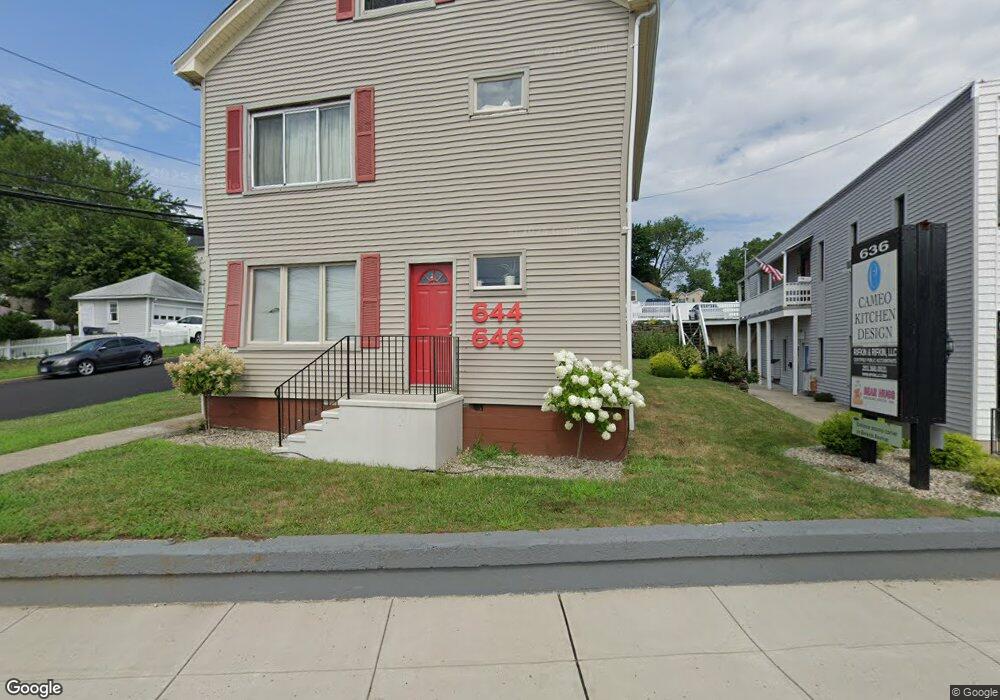
644 Kings Hwy E Fairfield, CT 06825
Tunxis Hill NeighborhoodEstimated Value: $527,000 - $668,000
3
Beds
2
Baths
1,600
Sq Ft
$378/Sq Ft
Est. Value
About This Home
This home is located at 644 Kings Hwy E, Fairfield, CT 06825 and is currently estimated at $604,540, approximately $377 per square foot. 644 Kings Hwy E is a home located in Fairfield County with nearby schools including Mckinley Elementary School, Tomlinson Middle School, and Fairfield Warde High School.
Ownership History
Date
Name
Owned For
Owner Type
Purchase Details
Closed on
Oct 17, 2018
Sold by
Rifkin Robert P
Bought by
Re Talmarc Llc
Current Estimated Value
Home Financials for this Owner
Home Financials are based on the most recent Mortgage that was taken out on this home.
Original Mortgage
$205,500
Outstanding Balance
$179,590
Interest Rate
4.6%
Mortgage Type
Unknown
Estimated Equity
$424,950
Create a Home Valuation Report for This Property
The Home Valuation Report is an in-depth analysis detailing your home's value as well as a comparison with similar homes in the area
Home Values in the Area
Average Home Value in this Area
Purchase History
| Date | Buyer | Sale Price | Title Company |
|---|---|---|---|
| Re Talmarc Llc | -- | -- | |
| Re Talmarc Llc | -- | -- |
Source: Public Records
Mortgage History
| Date | Status | Borrower | Loan Amount |
|---|---|---|---|
| Open | Re Talmarc Llc | $205,500 | |
| Previous Owner | Re Talmarc Llc | $20,000 | |
| Previous Owner | Re Talmarc Llc | $175,000 |
Source: Public Records
Tax History Compared to Growth
Tax History
| Year | Tax Paid | Tax Assessment Tax Assessment Total Assessment is a certain percentage of the fair market value that is determined by local assessors to be the total taxable value of land and additions on the property. | Land | Improvement |
|---|---|---|---|---|
| 2025 | $7,566 | $266,490 | $148,610 | $117,880 |
| 2024 | $7,435 | $266,490 | $148,610 | $117,880 |
| 2023 | $7,331 | $266,490 | $148,610 | $117,880 |
| 2022 | $7,259 | $266,490 | $148,610 | $117,880 |
| 2021 | $7,190 | $266,490 | $148,610 | $117,880 |
| 2020 | $5,628 | $210,070 | $123,830 | $86,240 |
| 2019 | $5,628 | $210,070 | $123,830 | $86,240 |
| 2018 | $5,537 | $210,070 | $123,830 | $86,240 |
| 2017 | $5,424 | $210,070 | $123,830 | $86,240 |
| 2016 | $5,346 | $210,070 | $123,830 | $86,240 |
| 2015 | $5,093 | $205,450 | $131,320 | $74,130 |
| 2014 | $5,013 | $205,450 | $131,320 | $74,130 |
Source: Public Records
Map
Nearby Homes
- 145 Brentwood Ave
- 130 Brentwood Ave
- 118 Berwick Ave
- 89 Grace St
- 378 Castle Ave
- 17 Hazel St
- 101 Soundview Ave
- 62 Soundview Ave
- 270 Andrassy Ave
- 221 Hunyadi Ave
- 155 Moody Ave
- 162 Country Rd Unit 162
- 309 Hunyadi Ave
- 349 Marlborough Terrace
- 709 Tunxis Hill Rd
- 108 Roseville St
- 82 Waldorf Ave
- 167 Scofield Ave
- 85 Ash St
- 31 Whittier St
- 636 Kings Hwy E Unit 2ND F
- 636 Kings Hwy E
- 636 Kings Hwy E Unit 2
- 666 Kings Hwy E
- 668 Kings Hwy E
- 307 Berwick Ave
- 680 Kings Hwy E
- 607 Kings Hwy E Unit A
- 607 Kings Hwy E Unit B
- 291 Fairchild Ave
- 332 Berwick Ave
- 329 Berwick Ave
- 40 Longfellow Ave
- 287 Fairchild Ave
- 333 Berwick Ave
- 675 Kings Hwy E
- 227 Berwick Ave
- 244 Berwick Ave
- 685 Kings Hwy E
- 29 Dresden St