644 Powers Ferry North SE Unit 20 Marietta, GA 30067
Powers Park NeighborhoodEstimated Value: $243,000 - $254,000
2
Beds
3
Baths
1,416
Sq Ft
$175/Sq Ft
Est. Value
About This Home
This home is located at 644 Powers Ferry North SE Unit 20, Marietta, GA 30067 and is currently estimated at $248,334, approximately $175 per square foot. 644 Powers Ferry North SE Unit 20 is a home located in Cobb County with nearby schools including Sedalia Park Elementary School, East Cobb Middle School, and Wheeler High School.
Ownership History
Date
Name
Owned For
Owner Type
Purchase Details
Closed on
Oct 30, 2000
Sold by
Homami Kourosh N
Bought by
Pearson Brande S
Current Estimated Value
Home Financials for this Owner
Home Financials are based on the most recent Mortgage that was taken out on this home.
Original Mortgage
$93,950
Outstanding Balance
$34,287
Interest Rate
7.93%
Mortgage Type
New Conventional
Estimated Equity
$214,047
Create a Home Valuation Report for This Property
The Home Valuation Report is an in-depth analysis detailing your home's value as well as a comparison with similar homes in the area
Home Values in the Area
Average Home Value in this Area
Purchase History
| Date | Buyer | Sale Price | Title Company |
|---|---|---|---|
| Pearson Brande S | $98,900 | -- |
Source: Public Records
Mortgage History
| Date | Status | Borrower | Loan Amount |
|---|---|---|---|
| Open | Pearson Brande S | $93,950 |
Source: Public Records
Tax History Compared to Growth
Tax History
| Year | Tax Paid | Tax Assessment Tax Assessment Total Assessment is a certain percentage of the fair market value that is determined by local assessors to be the total taxable value of land and additions on the property. | Land | Improvement |
|---|---|---|---|---|
| 2025 | $2,003 | $96,000 | $34,000 | $62,000 |
| 2024 | $2,115 | $101,076 | $34,000 | $67,076 |
| 2023 | $1,615 | $101,076 | $34,000 | $67,076 |
| 2022 | $1,195 | $58,204 | $18,000 | $40,204 |
| 2021 | $1,195 | $58,204 | $18,000 | $40,204 |
| 2020 | $1,073 | $52,608 | $7,200 | $45,408 |
| 2019 | $1,073 | $52,608 | $7,200 | $45,408 |
| 2018 | $780 | $39,228 | $7,200 | $32,028 |
| 2017 | $666 | $34,880 | $7,200 | $27,680 |
| 2016 | $589 | $31,304 | $6,000 | $25,304 |
| 2015 | $514 | $27,328 | $4,000 | $23,328 |
| 2014 | $465 | $24,960 | $0 | $0 |
Source: Public Records
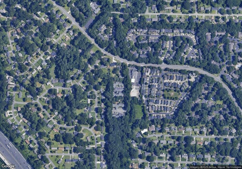
Map
Nearby Homes
- 2330 Trellis Ln SE
- 789 Gardenside Cir SE
- 830 Bonnie Glen Dr SE
- 1051 Oriole Ln SE
- 2409 Powers Ferry Dr SE
- 558 Lullingstone Dr SE
- 489 Little Rd SE
- 2182 Freydale Rd SE
- 2238 Surrey Ct SE
- 2160 Palmyra Dr SE
- 2514 Sunny Ln SE
- 2223 Runnymead Ridge SE
- 2490 Freydale Rd SE
- 2240 Runnymead Ridge SE
- 567 Boyds Dr SE
- 708 Hanover Ln SE
- 2471 Cedar Brook W
- 2484 Cedar Canyon Rd SE
- 2497 Cedar Canyon Place SE
- 61 Holt Rd NE
- 638 Powers Ferry North SE Unit 23
- 646 Powers Ferry North SE
- 650 Powers Ferry North SE
- 638 Powers Ferry North SE
- 642 Powers Ferry North SE Unit 3
- 642 Powers Ferry North SE Unit 3
- 642 Powers Ferry North SE
- 648 Powers Ferry North SE
- 650 Powers Ferry Rd SE
- 640 Powers Ferry Rd SE
- 642 Powers Ferry North SE
- 640 Powers Ferry North SE
- 636 Powers Ferry North SE
- 632 Powers Ferry North SE
- 632 Powers Ferry North SE
- 632 Powers Ferry North SE
- 628 Powers Ferry North SE
- 634 Powers Ferry North SE Unit 634
- 624 Powers Ferry North SE Unit 4
- 634 Powers Ferry North SE Unit 634