6440 State Highway Ww Verona, MO 65769
Estimated Value: $202,406 - $352,000
3
Beds
1
Bath
1,248
Sq Ft
$243/Sq Ft
Est. Value
About This Home
This home is located at 6440 State Highway Ww, Verona, MO 65769 and is currently estimated at $303,352, approximately $243 per square foot. 6440 State Highway Ww is a home with nearby schools including Pate Early Childhood Center, Robinson Elementary School, and Robinson Intermediate School.
Ownership History
Date
Name
Owned For
Owner Type
Purchase Details
Closed on
Oct 1, 2024
Sold by
Blades Susan M and Bowling Susan
Bought by
Bowling Susan
Current Estimated Value
Home Financials for this Owner
Home Financials are based on the most recent Mortgage that was taken out on this home.
Original Mortgage
$212,657
Interest Rate
6.78%
Mortgage Type
FHA
Purchase Details
Closed on
May 12, 2023
Sold by
Bowling Susan
Bought by
Friend Arthur Johnathan
Home Financials for this Owner
Home Financials are based on the most recent Mortgage that was taken out on this home.
Original Mortgage
$20,000
Interest Rate
6.32%
Mortgage Type
New Conventional
Create a Home Valuation Report for This Property
The Home Valuation Report is an in-depth analysis detailing your home's value as well as a comparison with similar homes in the area
Home Values in the Area
Average Home Value in this Area
Purchase History
| Date | Buyer | Sale Price | Title Company |
|---|---|---|---|
| Bowling Susan | -- | First Title And Escrow Inc | |
| Bowling Susan | -- | First Title And Escrow Inc | |
| Friend Arthur Johnathan | -- | Meridian Title |
Source: Public Records
Mortgage History
| Date | Status | Borrower | Loan Amount |
|---|---|---|---|
| Previous Owner | Bowling Susan | $212,657 | |
| Previous Owner | Friend Arthur Johnathan | $20,000 |
Source: Public Records
Tax History Compared to Growth
Tax History
| Year | Tax Paid | Tax Assessment Tax Assessment Total Assessment is a certain percentage of the fair market value that is determined by local assessors to be the total taxable value of land and additions on the property. | Land | Improvement |
|---|---|---|---|---|
| 2025 | $365 | $8,185 | $2,181 | $6,004 |
| 2024 | $365 | $7,634 | $2,181 | $5,453 |
| 2023 | $365 | $7,634 | $2,181 | $5,453 |
| 2022 | $356 | $7,444 | $1,991 | $5,453 |
| 2021 | $340 | $7,064 | $1,611 | $5,453 |
| 2020 | $340 | $7,064 | $1,611 | $5,453 |
| 2018 | $83 | $1,755 | $1,671 | $84 |
| 2017 | $86 | $1,815 | $1,671 | $144 |
| 2016 | $76 | $1,601 | $1,481 | $120 |
| 2015 | -- | $1,601 | $1,481 | $120 |
| 2014 | -- | $8,484 | $2,727 | $5,757 |
| 2012 | -- | $0 | $0 | $0 |
Source: Public Records
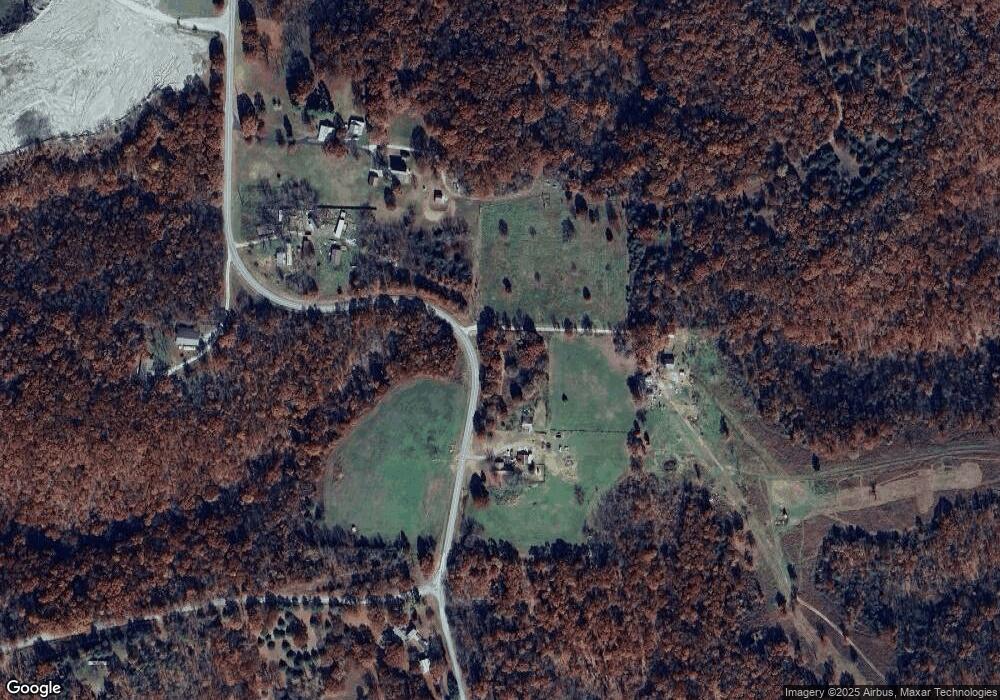
Map
Nearby Homes
- 000 Farm Road 1182
- 000 Farm Road 1190
- Tbd Farm Rd 1190
- 4276 State Highway Ww
- 3644 State Highway Ww
- 7776 State Highway 39
- Tract 1 Farm Road 1200
- 10463 Farm Road 1182
- 17196 Farm Road 2030
- Tbd 000 Fr 1150
- Tract 2 Farm Road 1200
- 000 State Highway C
- 17250 State Highway Z
- 19038 Farm Road 2020
- 22275 State Highway 248
- 21814 State Hwy 248
- 1757 Farm Road 1200
- Tract 2 Farm Rd 1200
- 00 Farm Road 1200
- 00 Farm Road 1200
- 6504 Farm Road 1170
- 6300 Farm Road 1180
- 6914 Farm Road 1170
- 6225 Farm Road 1180
- 6461 Farm Road 1170
- 18390 Farm Road 2065
- 6949 Farm Road 1182
- 18504 Farm Road 2065
- 18459 Farm Road 2065
- 6512 State Highway Ww
- 18526 Farm Road 2065
- 18522 Farm Road 2065
- 18524 Farm Road 2065
- 18519 Farm Road 2065
- 6285 State Highway Ww
- 18514 Farm Road 2065
- 6278 State Highway Ww
- 6327 Farm Road 1190
- 7328 Farm Road 1182
- 7326 Farm Road 1182